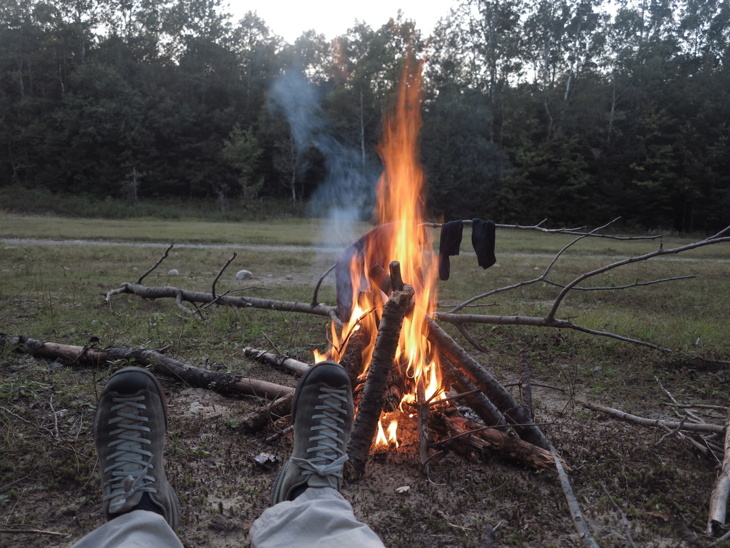
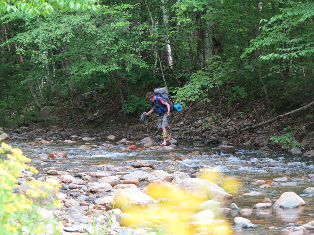
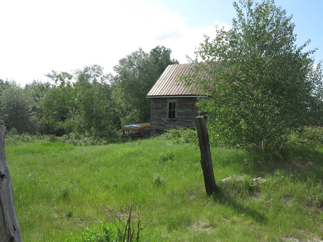
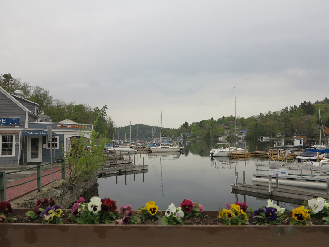
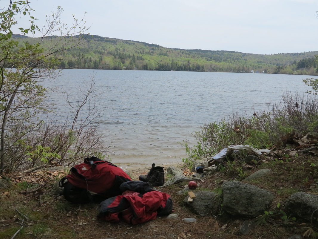
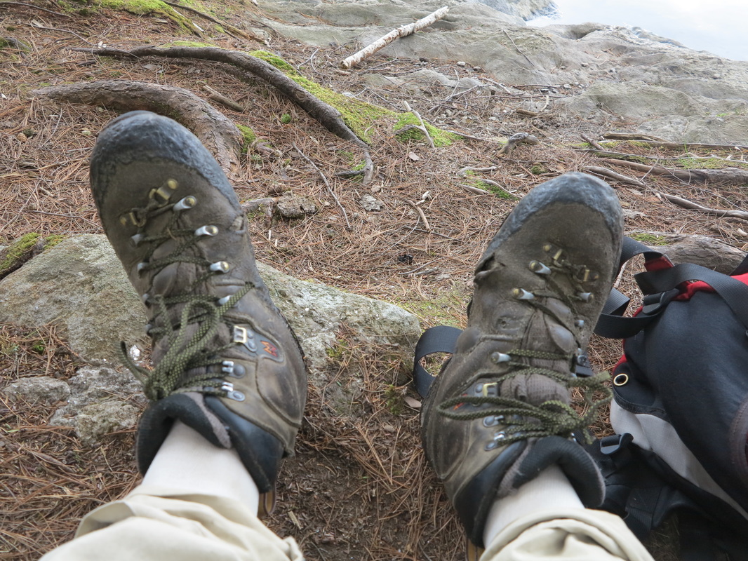
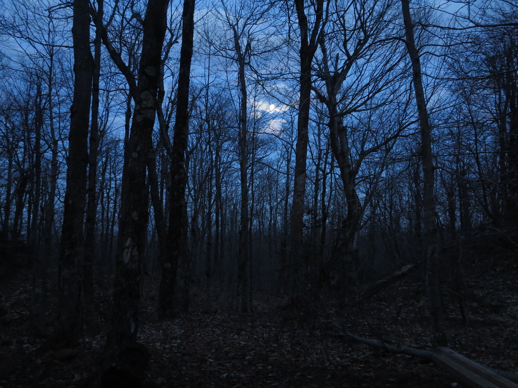
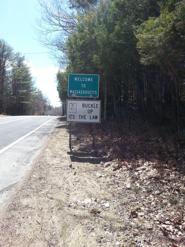
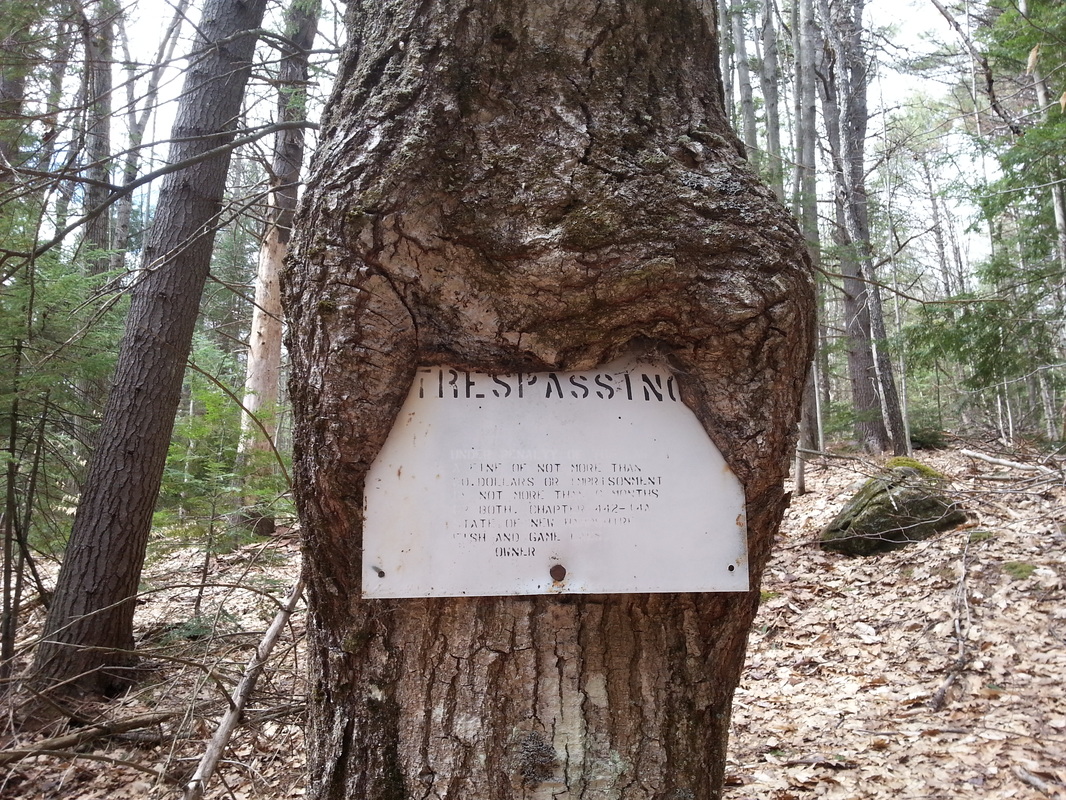
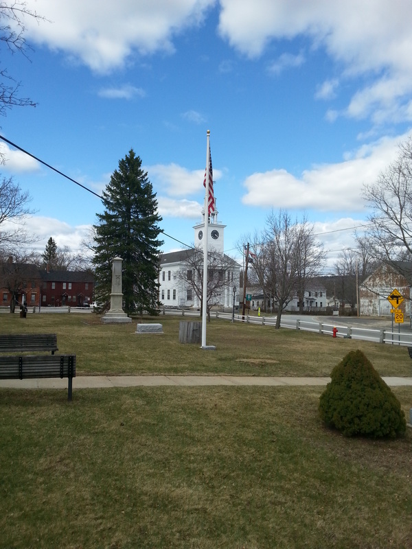
When I woke up it was against the outside wall of an old railroad depot. If anyone knew much about my sleeping habits lately, they’d swear I was homeless. I’m not sure why, but I often end up making my bed in places where you’re not supposed to.
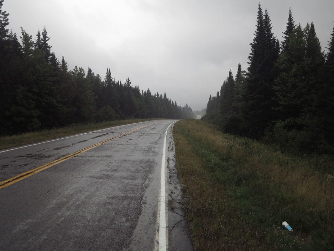
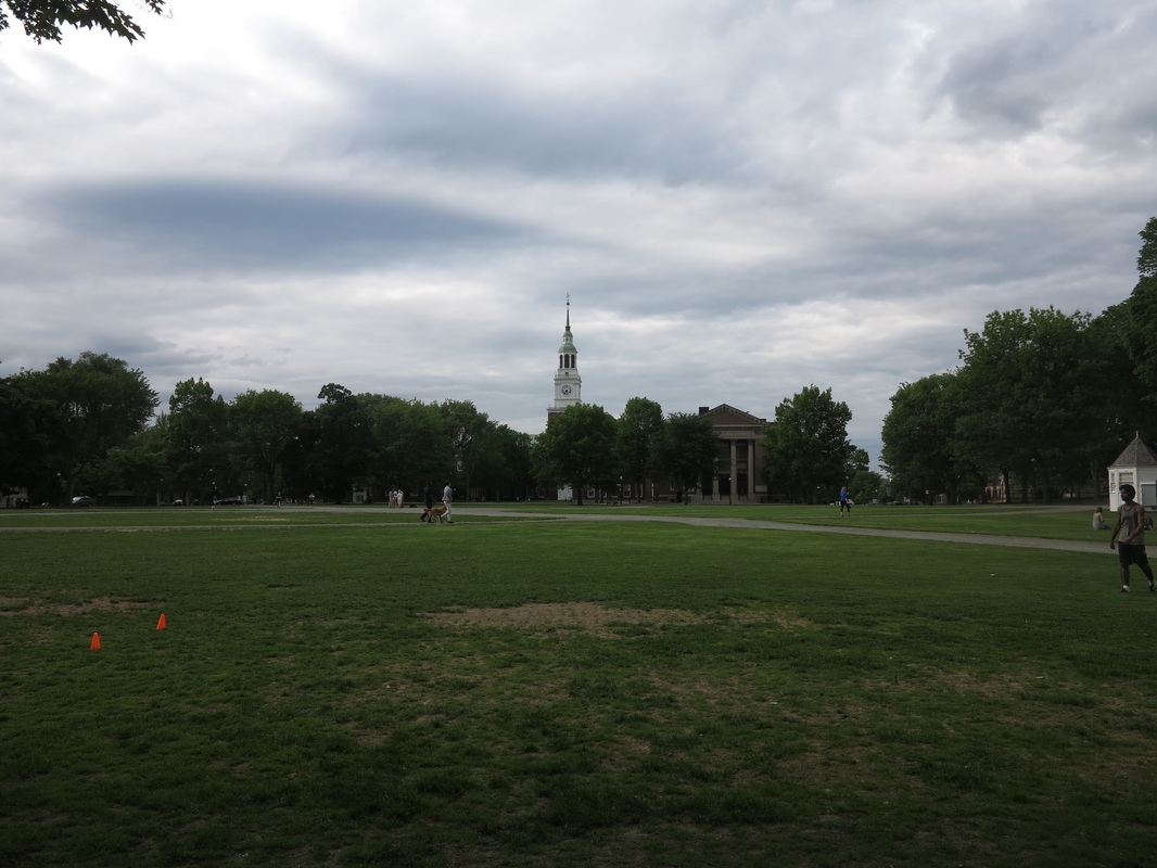
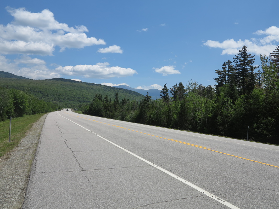
A security guard had passed a couple of times during the night, sweeping his lights across the adjacent parking lot, but somehow failed to notice me. So when dawn came and my eyes popped open, I took a quick look around to make sure the coast was clear. I packed up my sleeping things as fast as I could and ran up the hill to the road between Hanover, NH, and Norwich, VT, to resume my journey north along the highway.
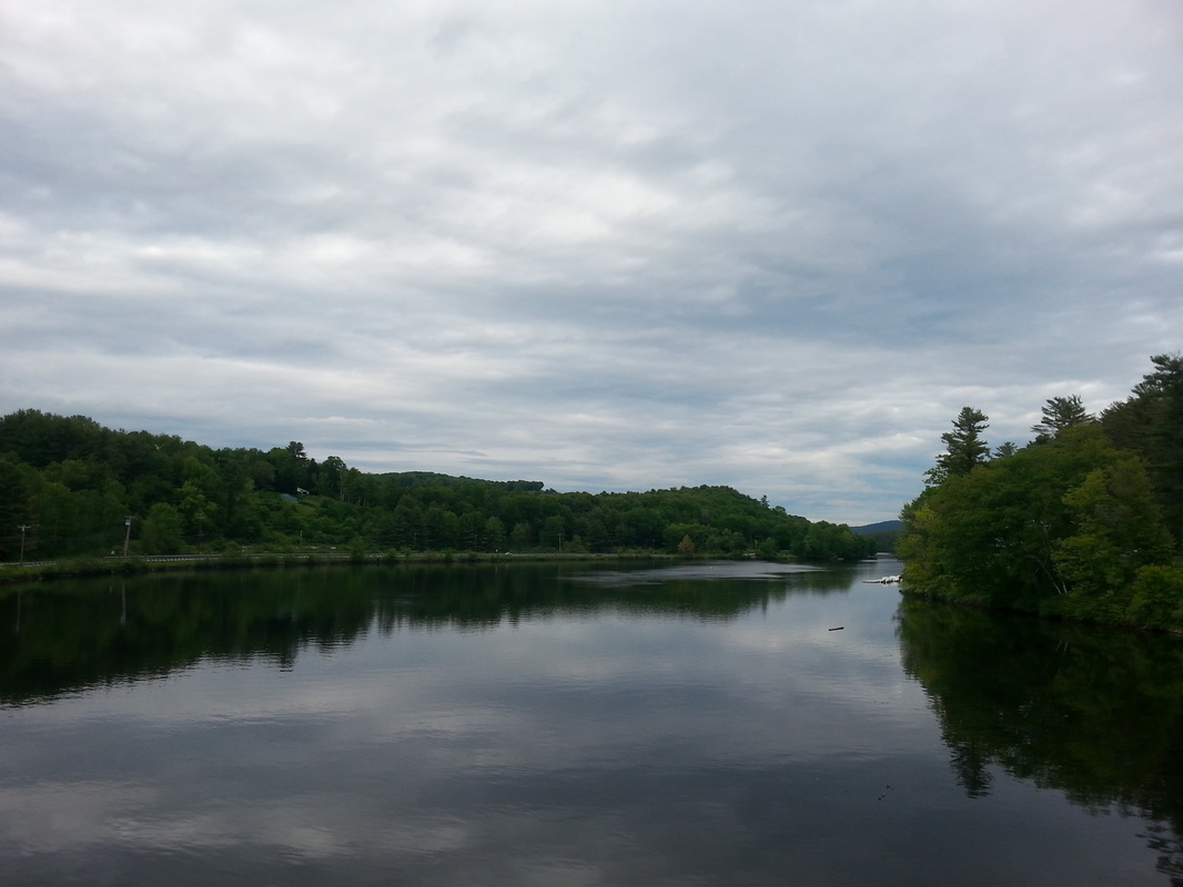
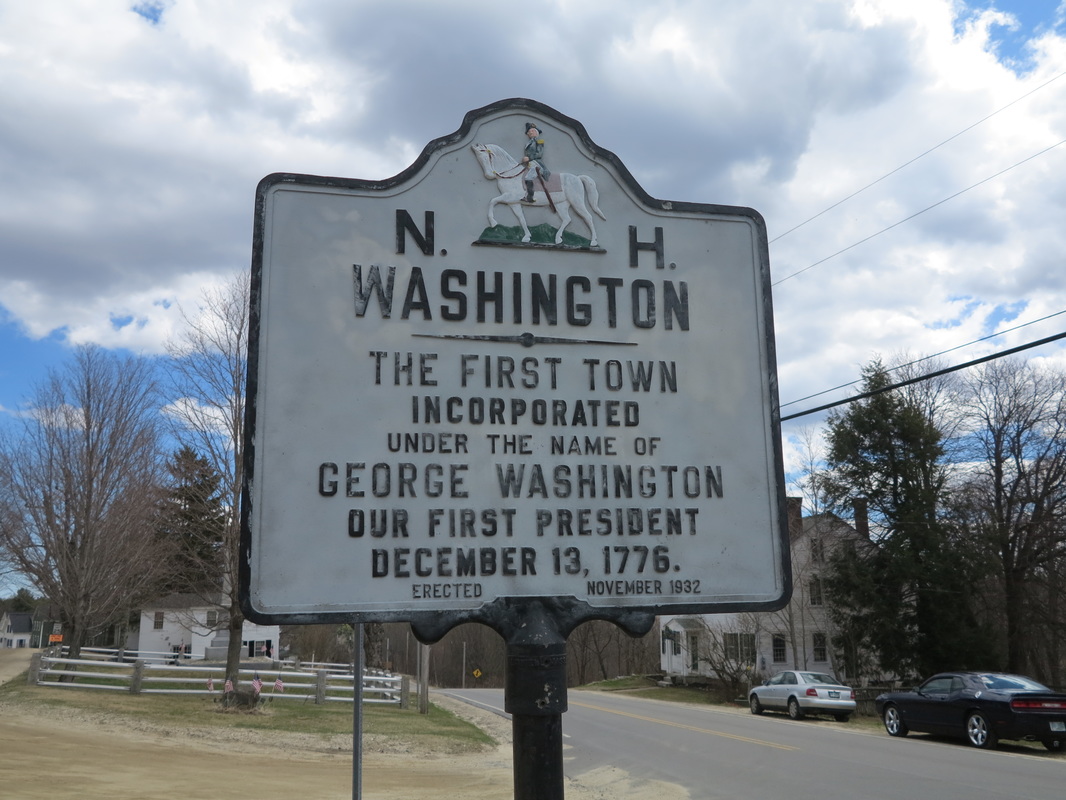
A few weeks before I had made up my mind that I would do this last leg of my walk up New Hampshire without using my car; I would hitchhike from my house in Langdon to Stark, where I had left off in June, and then after hiking the remaining 70 or 80 miles to the Canadian border, I would again enlist my thumb to work my way back south. People who pick up hitchhikers are generally more interesting than those who don’t, so it seemed like a sure way to meet the very best the byways of rural New Hampshire and Vermont had to offer, as well as a fitting close to my summer wanderings.
Traffic was scarce in the early morning, and it must have been eight o’clock by the time a man who looked to be in his sixties picked me up in his Toyota Prius.
“Where to?” he asked.
At first I told him I was going to St. Johnsbury, for simplicity’s sake (as one does when hitchhiking), but when I gathered he was going beyond there, I said Groveton, and then eventually Stark. He happened to be going all the way to Errol, in the Rangeley Lakes region, and would be driving right past my trailhead. It was a fine piece of traveler’s luck.
Cliff Bishop was actually 80 years old. “You’ve got to stay active as you age,” he told me, his very existence a testament to the validity of his creed. “I can’t walk very well anymore and I have diabetes, but I still get out as much as I can in my car to film wildlife. I walk where I can, but I think just leaving the house and being independent is important.”
Today he was hoping to find some moose and bear to film. “But it’s also just to travel,” he said. “I’ve got a bear right behind my house who comes around and lets me film him all the time.”
“You ever go to the Mooselook Restaurant in Concord [Vermont]?” Cliff asked me, about an hour into our drive north.
“No,” I said.
“All right, then. That’s where I’m taking you for breakfast.”
“Sounds good,” I replied. “But I’m paying.”
“No you’re not.”
* * * *
“You see that waitress over there?” Cliff asked, when we had taken our seats in a booth against the rough plywood walls of the northern diner. “Well I was in here one time a few years ago. (I’ve been known to drive all the way up here just for their liver and onions.) There was this fella, you see. Decided he’d try to get a date with that waitress. Well, she’s a tough one. He starts trying to sweet talk her, and she says, ‘Don’t waste your time, buddy. I live so far back in the woods you wouldn’t never be able to find my place, even if I wanted you to.’ The man looked confused, because it seemed like she’d been nice enough up until then. ‘What’s that supposed to mean?’ he asked. ‘Do you want me to make it real simple for you?’ the woman asked him. ‘Yes, I do,’ said the man. ‘Then get the hell outta here!’” At that, according to Cliff’s telling, the whole place erupted in laughter, and the man walked out in shame.
The story made me laugh, but I did find myself feeling bad for the guy.
Cliff was full of such tales. He was a collector of snippets of dialogue. To his ears they were like fine wine or cheese on the palate. Most of the sound bites were from years before, and he carried them around in his head. But on the center console of his car he also kept a voice recorder. “I’d like to use it more often to record people’s conversations,” he said. “But I’m usually a little afraid to ask if I can turn it on.”
For years Cliff had worked as a driver for a milk distributor. The job had taken him up and down the length of Vermont every day, from Springfield north to Burlington and Newport. In his free time he had traveled extensively throughout Vermont, New Hampshire, and Maine, camping and hunting with his late wife. He knew the area better than most people, and as we talked our way back and forth and up and down across the map, I thought of my idea that each of us has a range that we call home. Cliff’s range corresponded to mine in a lot of places, but it went farther east into Maine, and did not go west of the Adirondacks. It was a pleasure to talk with someone who knew the land so well.
A security guard had passed a couple of times during the night, sweeping his lights across the adjacent parking lot, but somehow failed to notice me. So when dawn came and my eyes popped open, I took a quick look around to make sure the coast was clear. I packed up my sleeping things as fast as I could and ran up the hill to the road between Hanover, NH, and Norwich, VT, to resume my journey north along the highway.
A few weeks before I had made up my mind that I would do this last leg of my walk up New Hampshire without using my car; I would hitchhike from my house in Langdon to Stark, where I had left off in June, and then after hiking the remaining 70 or 80 miles to the Canadian border, I would again enlist my thumb to work my way back south. People who pick up hitchhikers are generally more interesting than those who don’t, so it seemed like a sure way to meet the very best the byways of rural New Hampshire and Vermont had to offer, as well as a fitting close to my summer wanderings.
Traffic was scarce in the early morning, and it must have been eight o’clock by the time a man who looked to be in his sixties picked me up in his Toyota Prius.
“Where to?” he asked.
At first I told him I was going to St. Johnsbury, for simplicity’s sake (as one does when hitchhiking), but when I gathered he was going beyond there, I said Groveton, and then eventually Stark. He happened to be going all the way to Errol, in the Rangeley Lakes region, and would be driving right past my trailhead. It was a fine piece of traveler’s luck.
Cliff Bishop was actually 80 years old. “You’ve got to stay active as you age,” he told me, his very existence a testament to the validity of his creed. “I can’t walk very well anymore and I have diabetes, but I still get out as much as I can in my car to film wildlife. I walk where I can, but I think just leaving the house and being independent is important.”
Today he was hoping to find some moose and bear to film. “But it’s also just to travel,” he said. “I’ve got a bear right behind my house who comes around and lets me film him all the time.”
“You ever go to the Mooselook Restaurant in Concord [Vermont]?” Cliff asked me, about an hour into our drive north.
“No,” I said.
“All right, then. That’s where I’m taking you for breakfast.”
“Sounds good,” I replied. “But I’m paying.”
“No you’re not.”
* * * *
“You see that waitress over there?” Cliff asked, when we had taken our seats in a booth against the rough plywood walls of the northern diner. “Well I was in here one time a few years ago. (I’ve been known to drive all the way up here just for their liver and onions.) There was this fella, you see. Decided he’d try to get a date with that waitress. Well, she’s a tough one. He starts trying to sweet talk her, and she says, ‘Don’t waste your time, buddy. I live so far back in the woods you wouldn’t never be able to find my place, even if I wanted you to.’ The man looked confused, because it seemed like she’d been nice enough up until then. ‘What’s that supposed to mean?’ he asked. ‘Do you want me to make it real simple for you?’ the woman asked him. ‘Yes, I do,’ said the man. ‘Then get the hell outta here!’” At that, according to Cliff’s telling, the whole place erupted in laughter, and the man walked out in shame.
The story made me laugh, but I did find myself feeling bad for the guy.
Cliff was full of such tales. He was a collector of snippets of dialogue. To his ears they were like fine wine or cheese on the palate. Most of the sound bites were from years before, and he carried them around in his head. But on the center console of his car he also kept a voice recorder. “I’d like to use it more often to record people’s conversations,” he said. “But I’m usually a little afraid to ask if I can turn it on.”
For years Cliff had worked as a driver for a milk distributor. The job had taken him up and down the length of Vermont every day, from Springfield north to Burlington and Newport. In his free time he had traveled extensively throughout Vermont, New Hampshire, and Maine, camping and hunting with his late wife. He knew the area better than most people, and as we talked our way back and forth and up and down across the map, I thought of my idea that each of us has a range that we call home. Cliff’s range corresponded to mine in a lot of places, but it went farther east into Maine, and did not go west of the Adirondacks. It was a pleasure to talk with someone who knew the land so well.
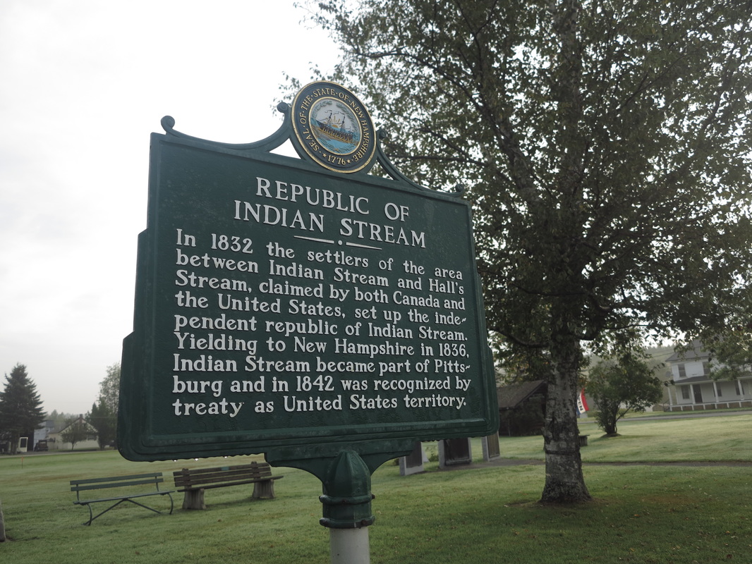
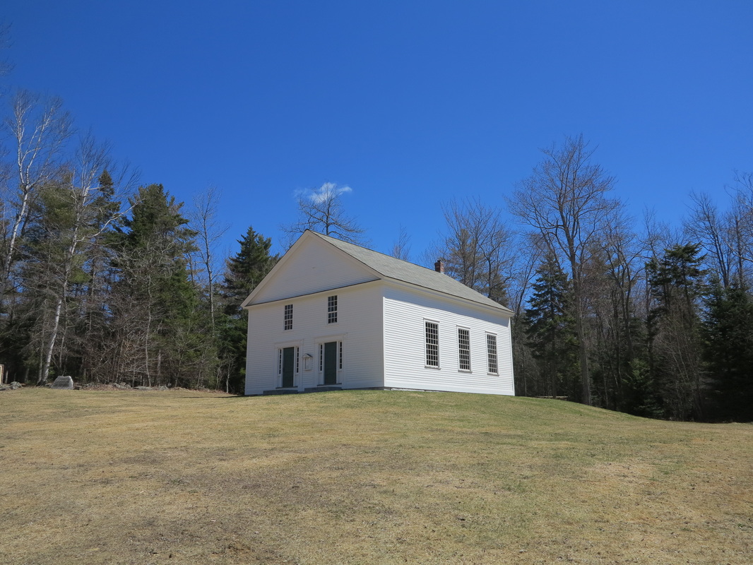
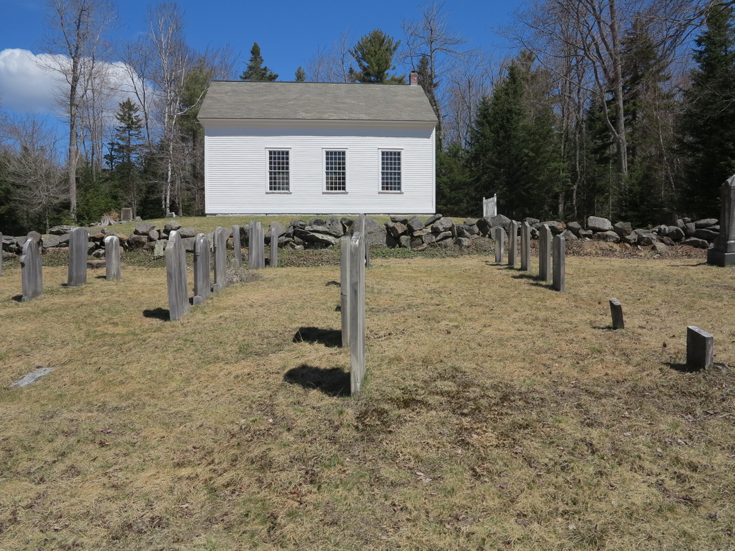
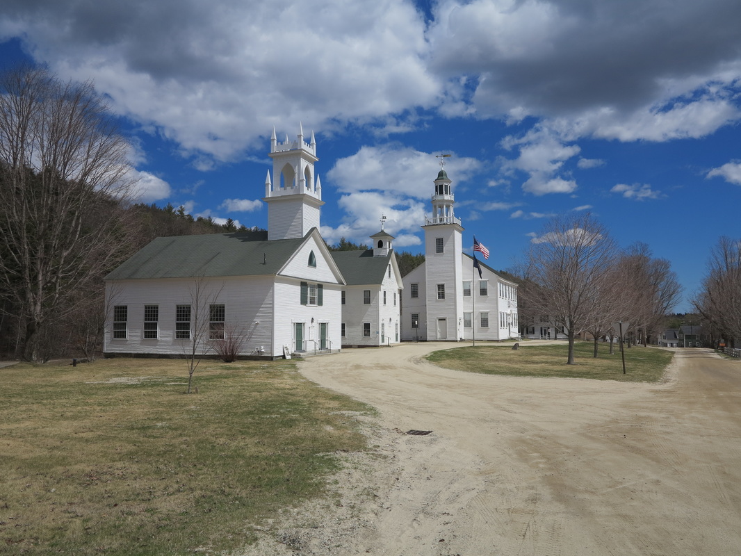
The town of Stark sits nestled among small mountains along the Upper Ammonoosuc River. At the tail end of the Second World War it was home to a camp for German prisoners of war, who were sent to cut timber for the Brown Paper Company, for years the major driver of the North Country economy. The small-town intimacy of the camp’s setting (there were nearly as many prisoners as natives) fostered a unique bond between locals and inmates, many of whom had been drawn from the ranks of Hitler’s opponents (socialists, democrats, communists, and the like) into the 999th Division, specially created to give dissidents an opportunity to redeem themselves. They were often more sympathetic to the cause of their captors than to that of the German state, so surrender didn’t seem like such a bad idea. In Stark Decency, an account of the camp’s brief history, Dartmouth historian Allen Koop recounts how most of the inmates were visibly saddened by F.D.R.’s death but showed no emotion a few weeks later when news of Hitler’s demise came over the wire.
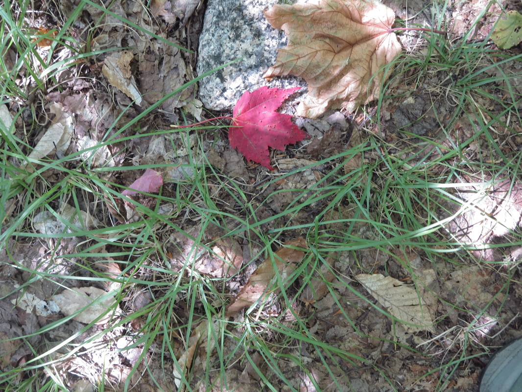
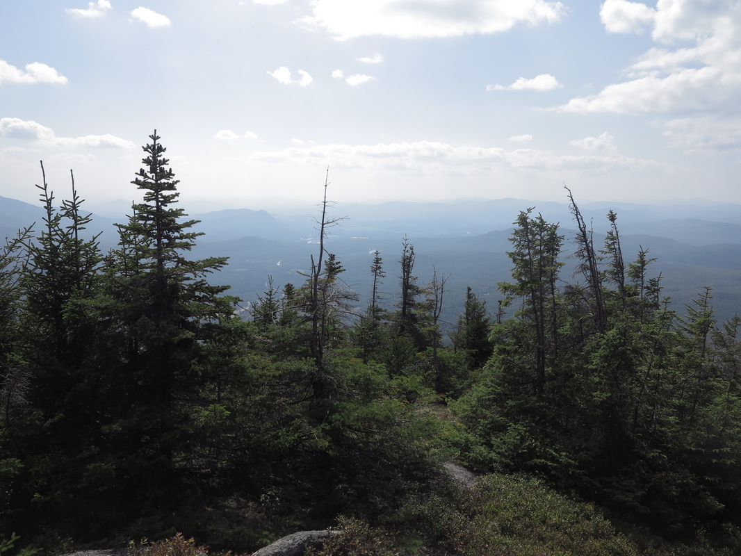
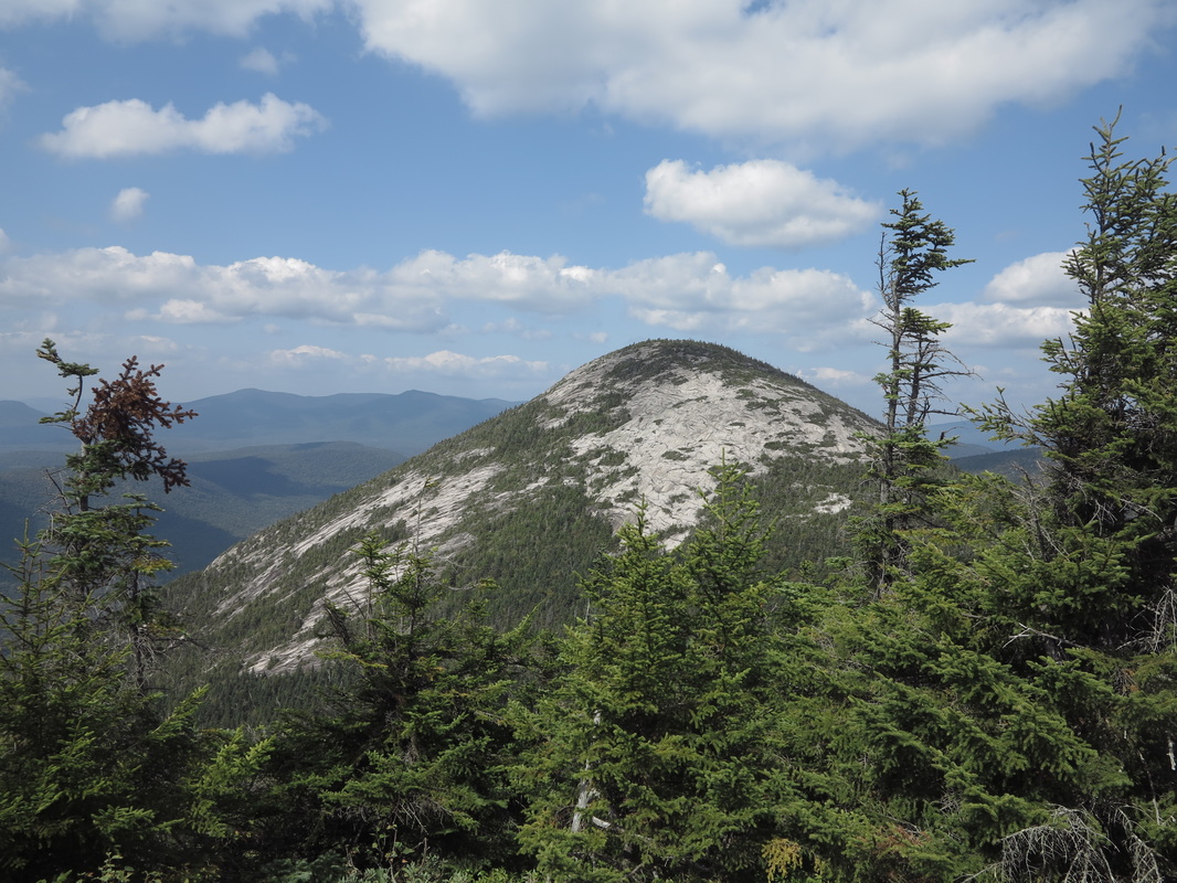
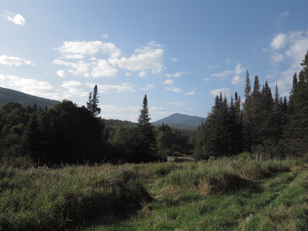
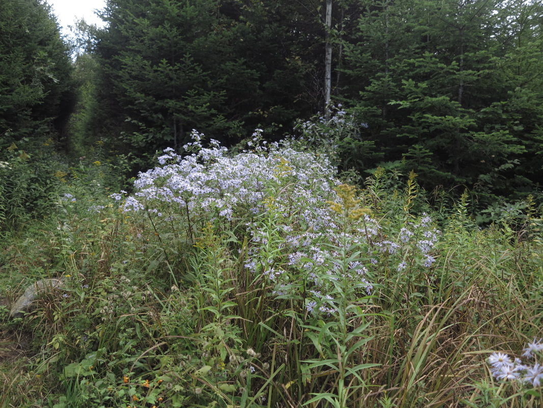
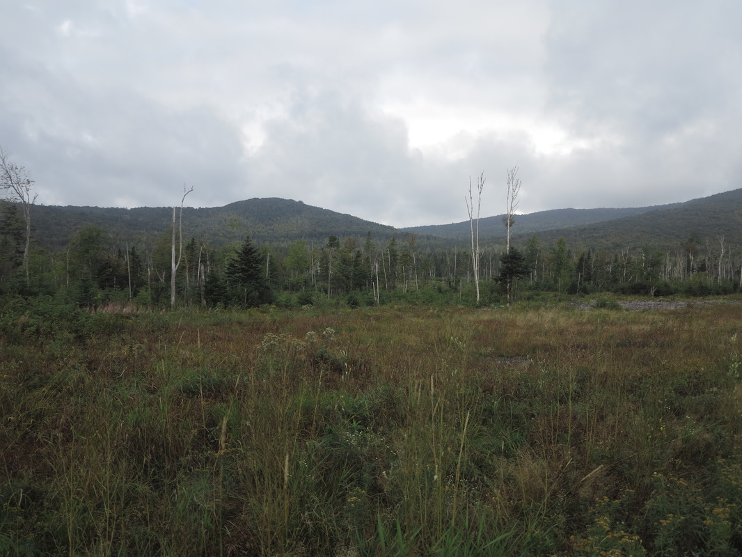
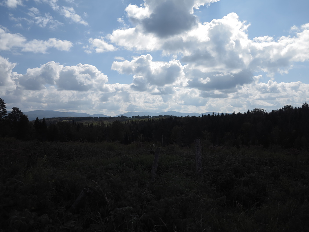
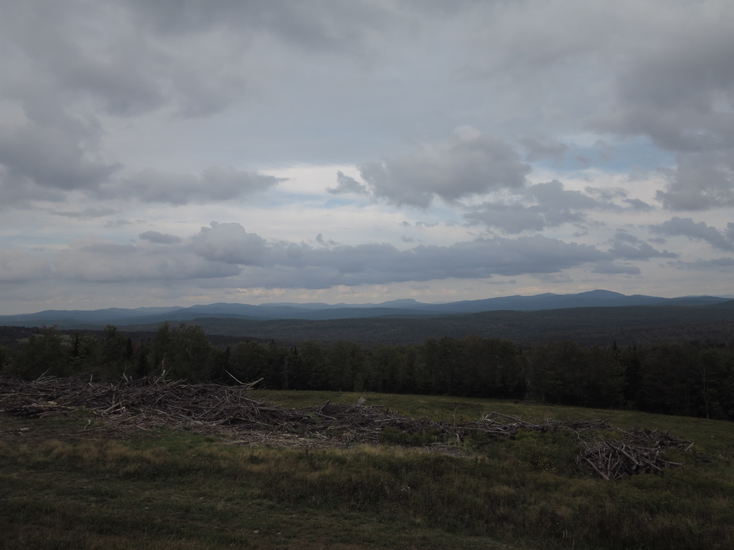
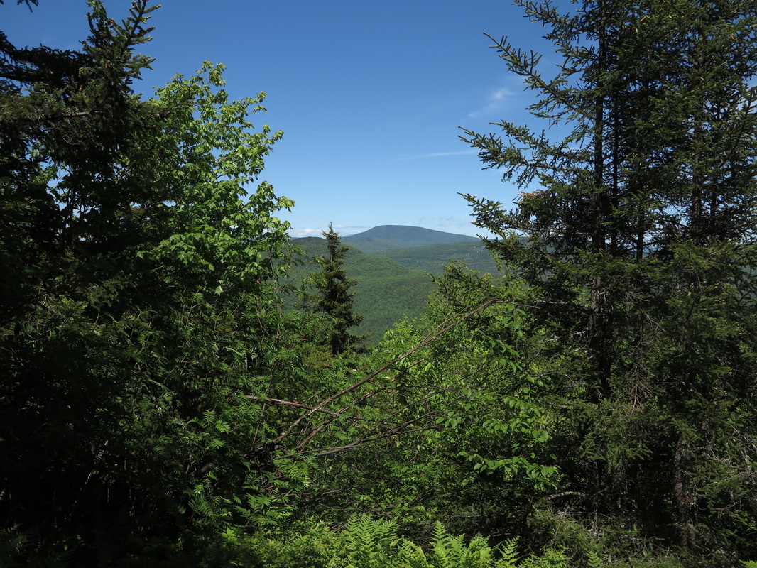
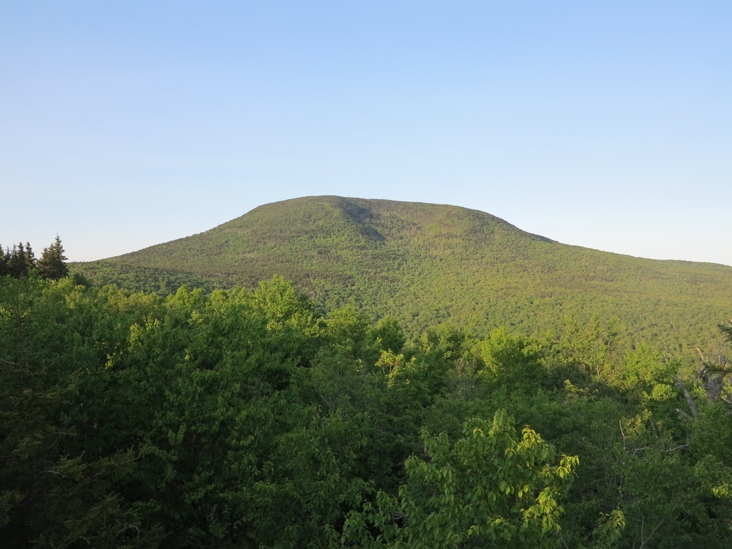
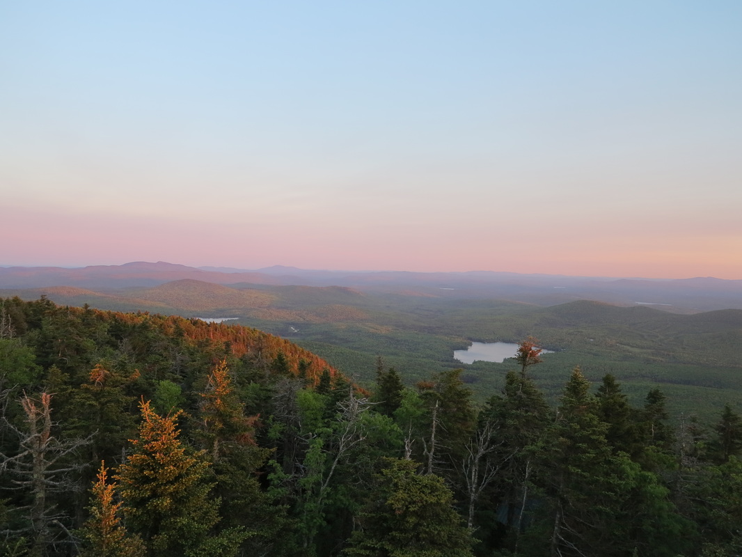
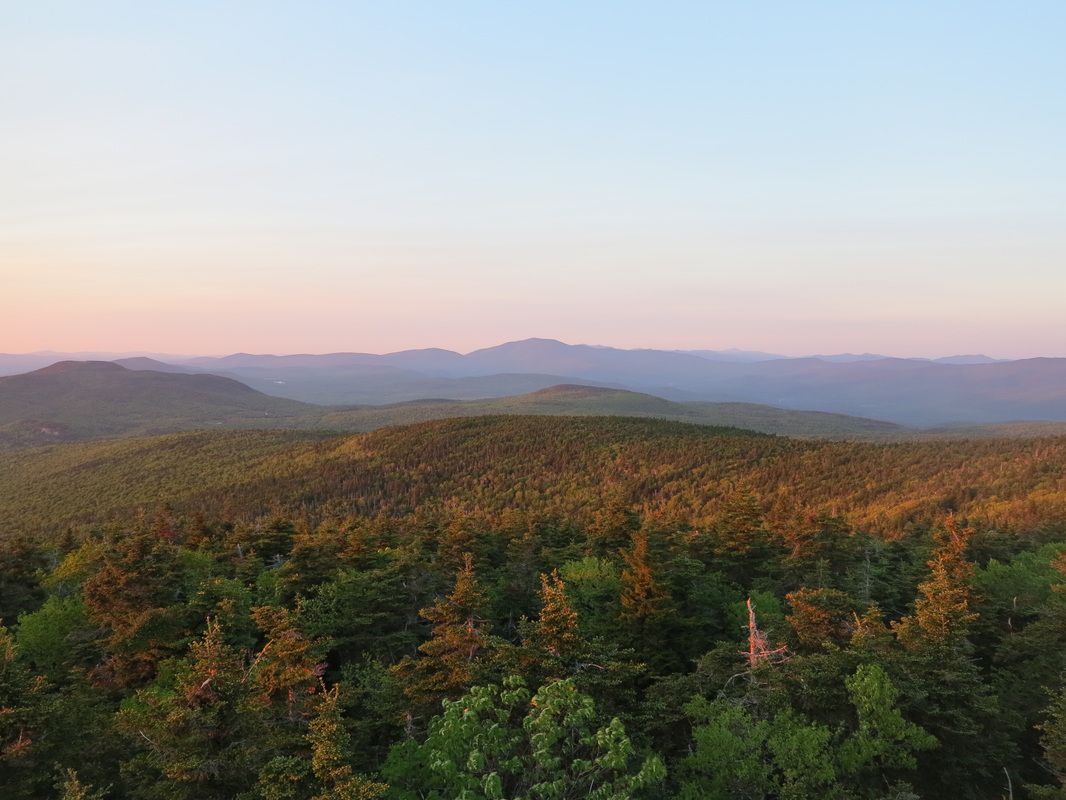
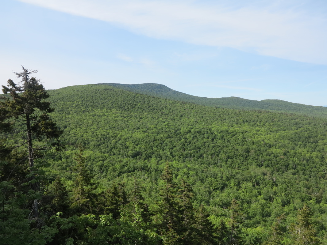
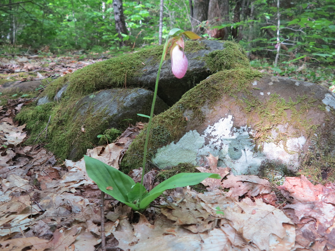
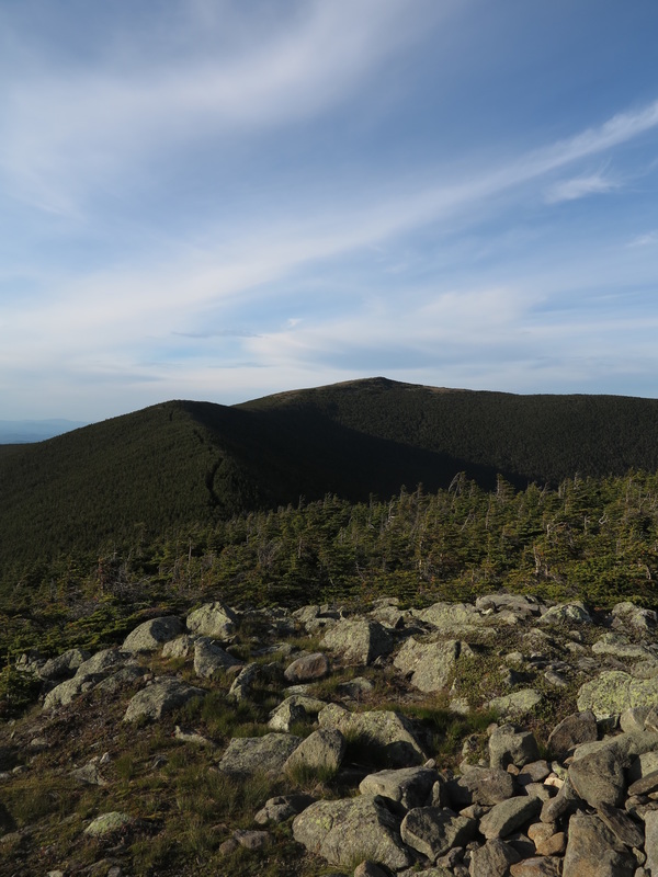
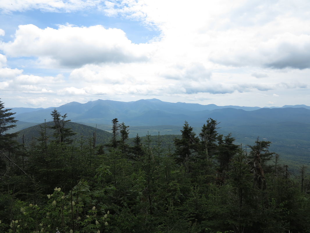
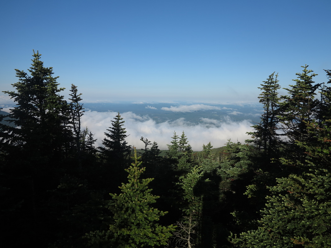
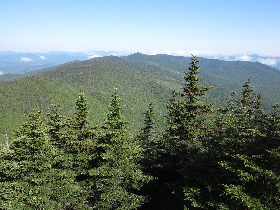
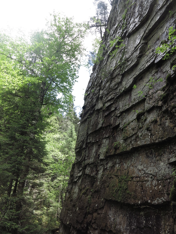
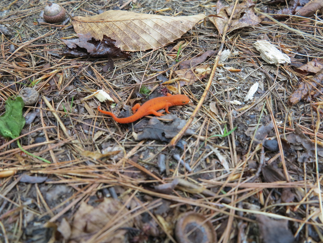
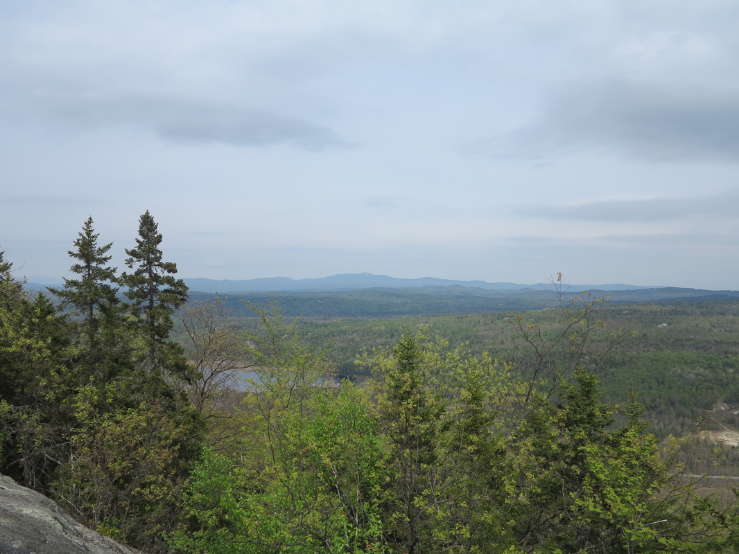
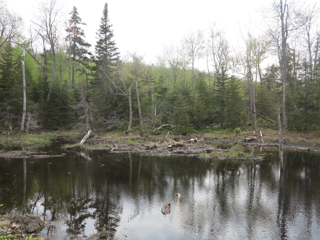
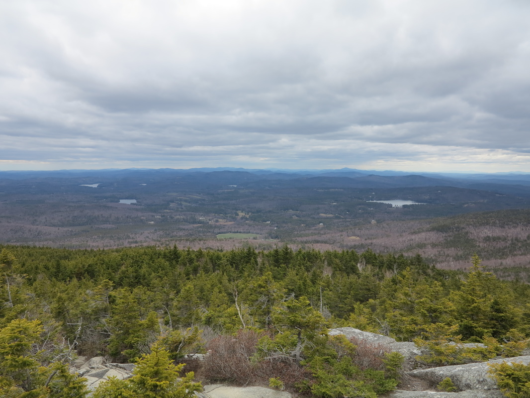
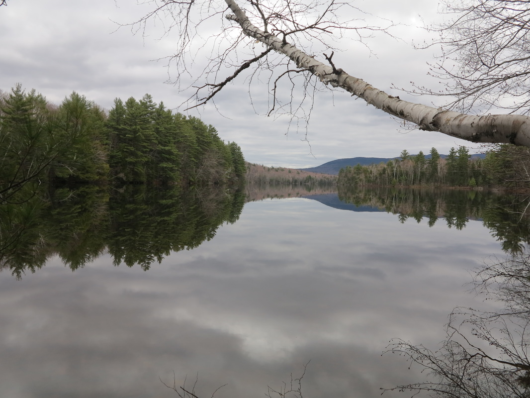
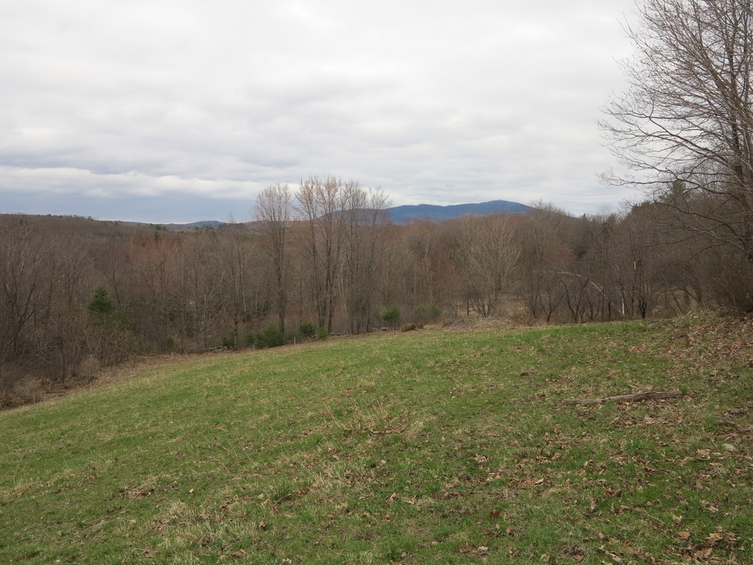
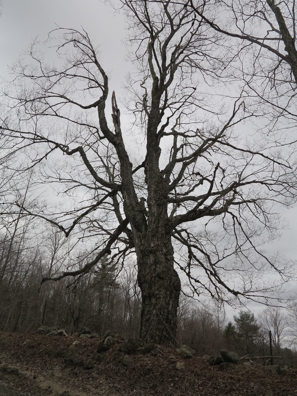
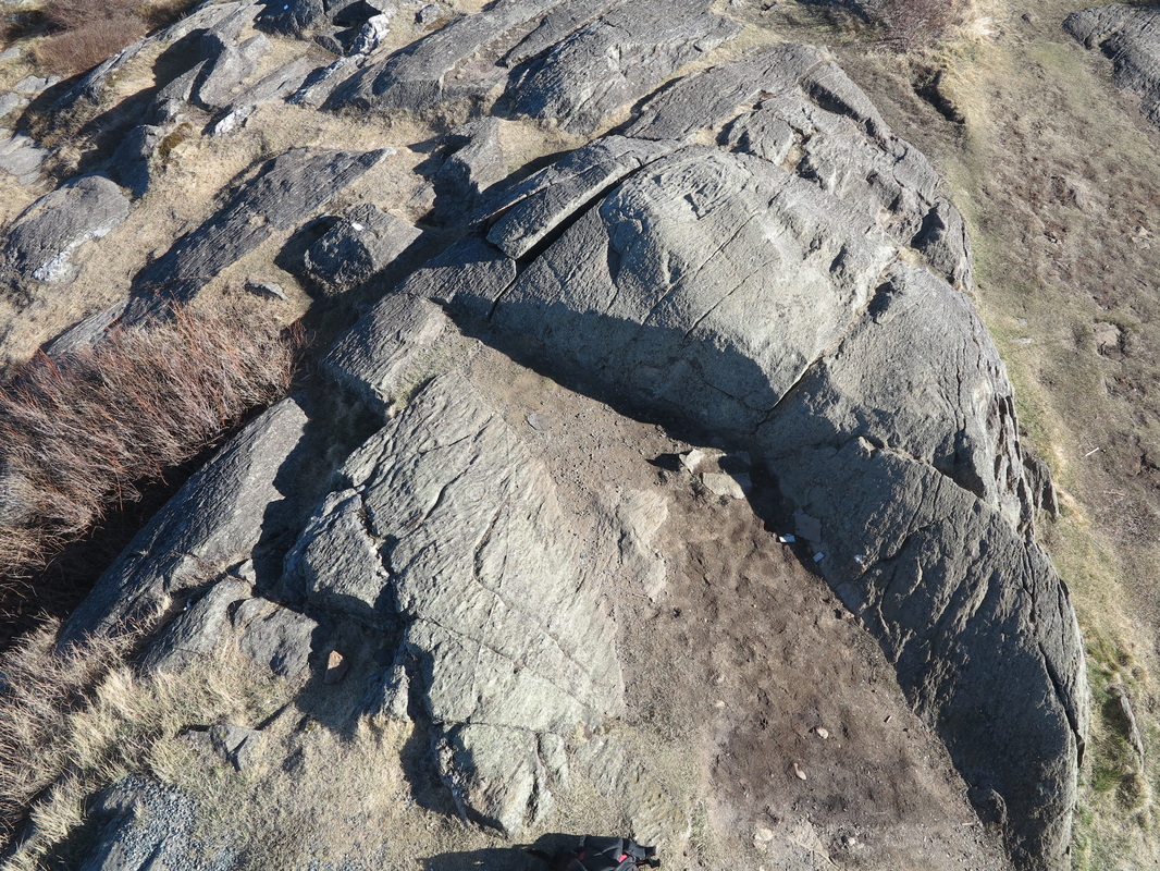
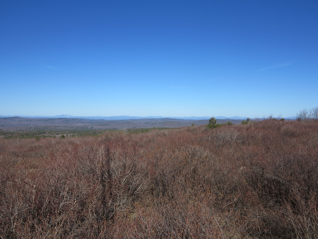
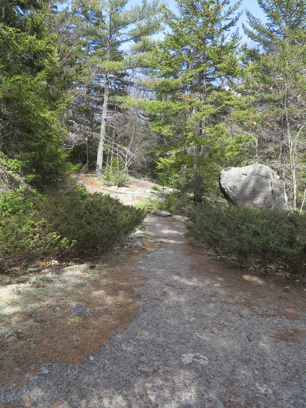
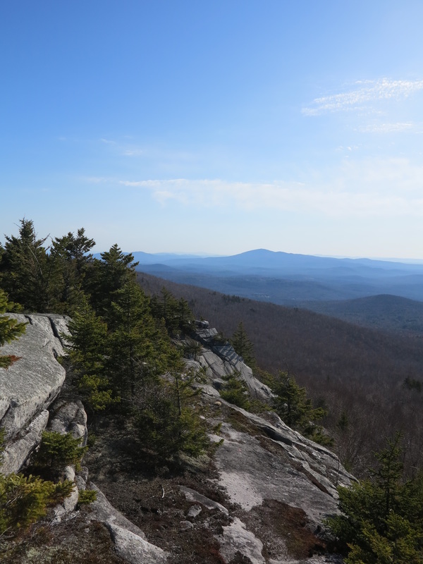
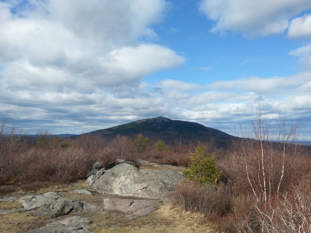
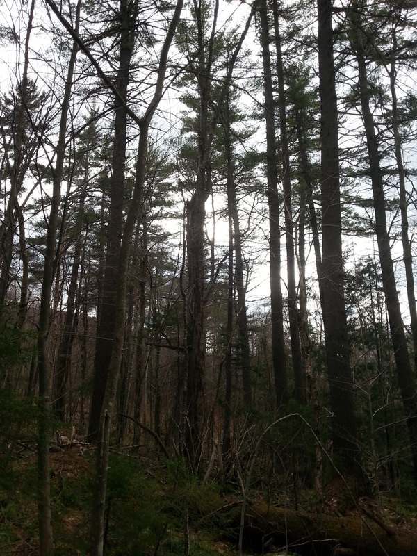
The first miles of my walk were spent in a wanderer’s daze. I remember virtually nothing of the way, just a vague impression of ferns and beeches and red spruce, until I found myself sitting on top of South Percy Peak, five or six miles into the hike. From there I had a front-and-center view of the massive balding dome of North Percy, heaving up into the sky and putting me in mind of Yosemite. It’s a sight that, even in a daze, it would be hard to forget.
I’ve often wondered about this oblivion that sometimes descends upon a person walking. If it were a matter of being lost in thought, I would understand. But I have no memory of thoughts either. Perhaps the morning with Cliff had been so fulfilling that I didn’t need any more impressions for a few hours; maybe my mind was doing the quiet work of integrating those stories.
Maybe it was the heat.
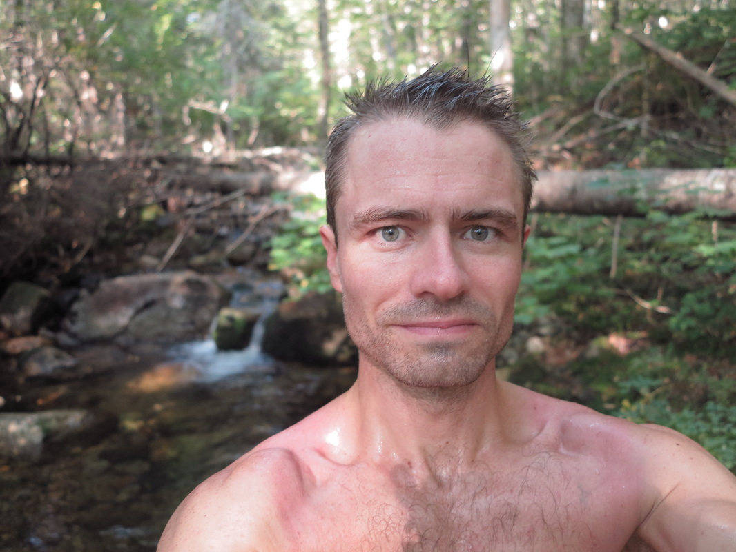
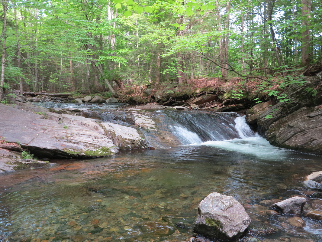
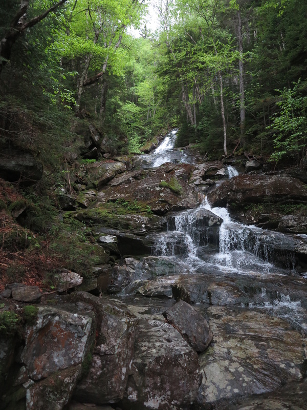
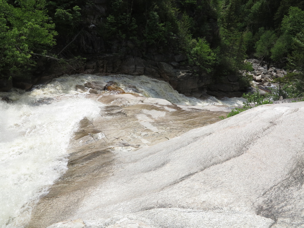
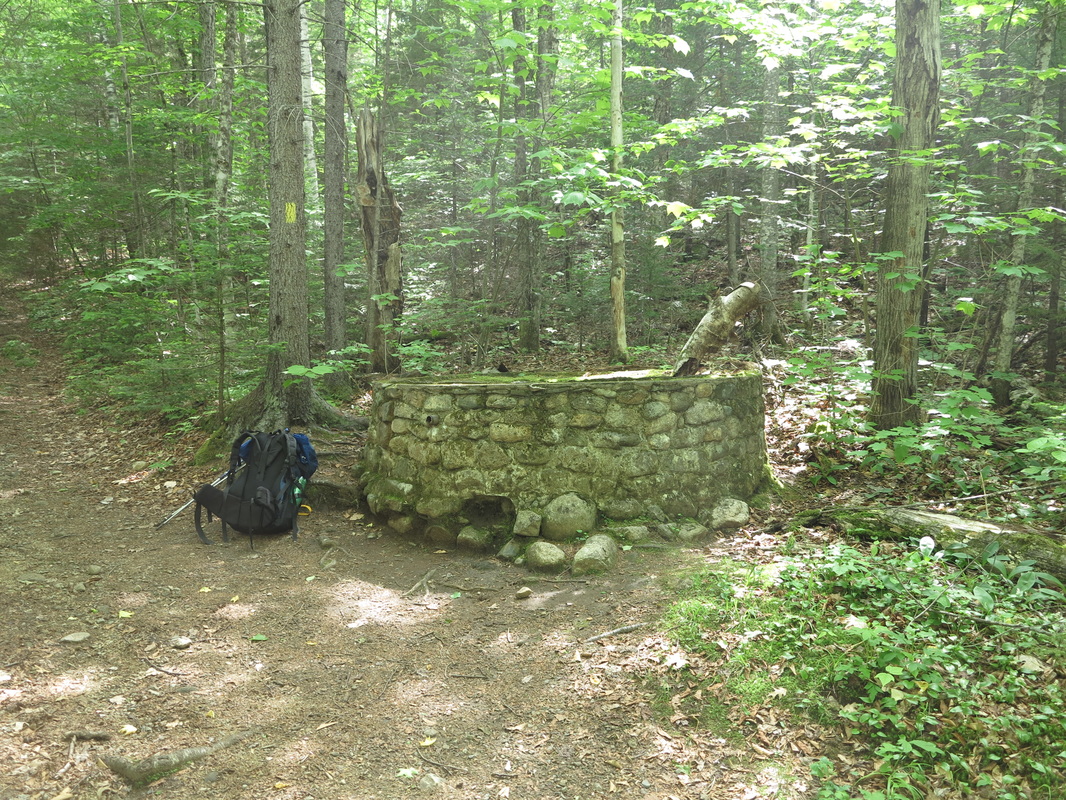
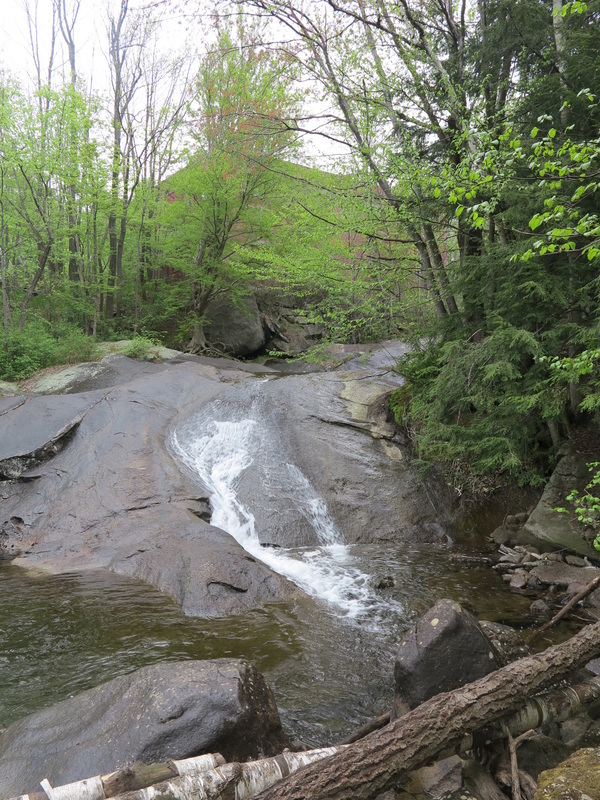
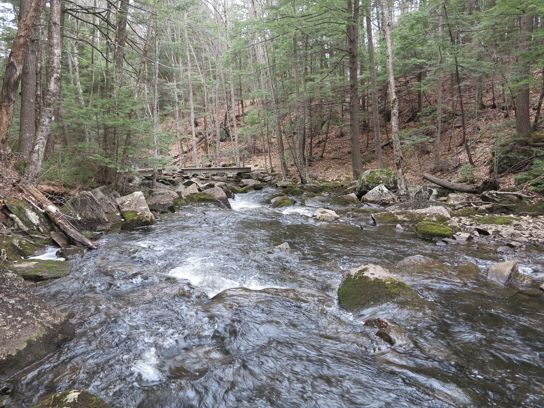
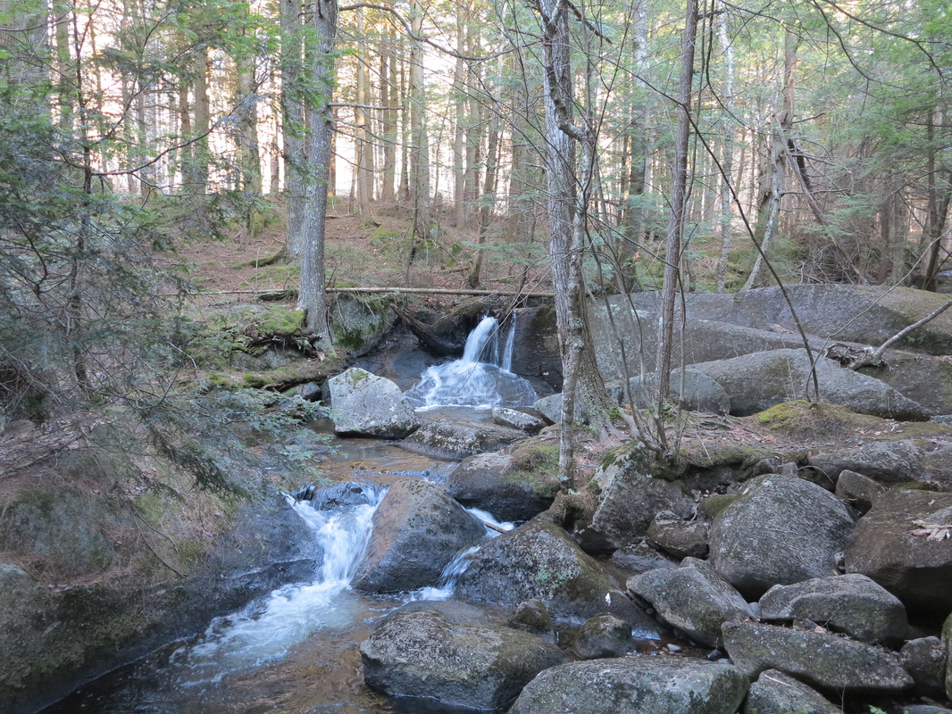
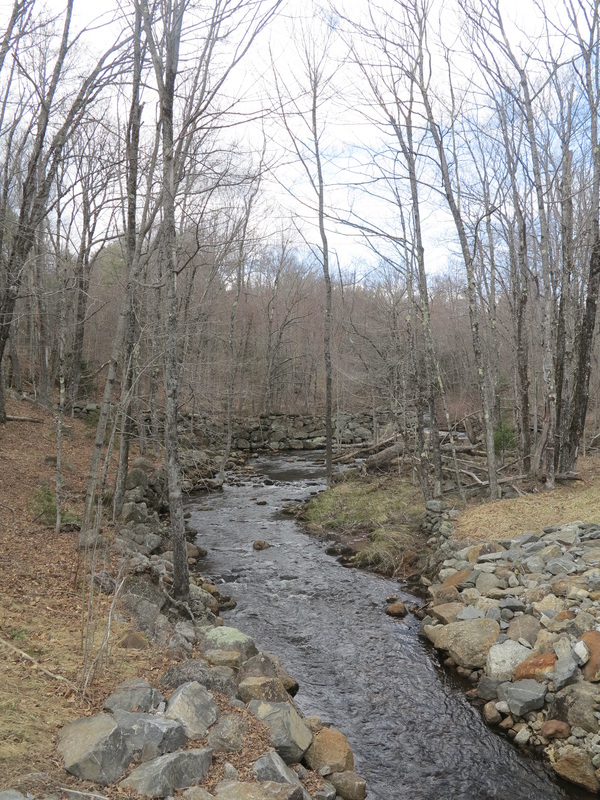
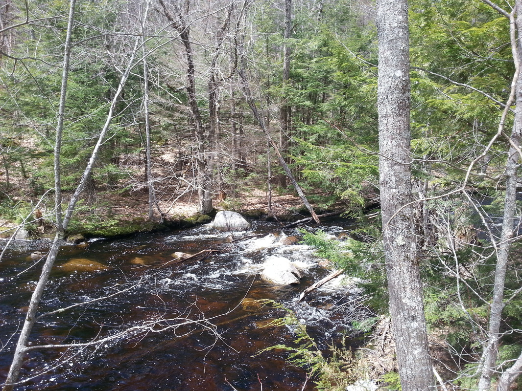
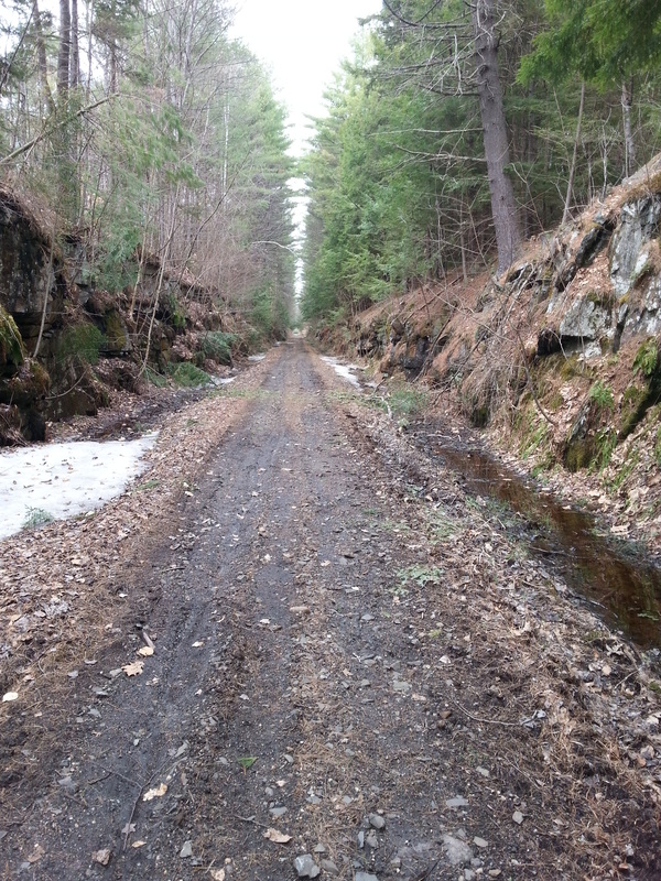
By late afternoon I had returned to my senses, refreshed by a dip in a brook where my trail turned onto a dirt road to follow Nash Stream (which would be called a river elsewhere in the state) for a few miles up toward its headwaters. I was carrying the guide to the Cohos Trail, which runs 165 miles up the northernmost wedge of New Hampshire, but I had resolved to use its official route as a scavenger would, taking only the parts that suited my needs and fancy. This seemed perfectly in line with the spirit of the trail association anyway. Here’s a taste of how the guidebook reads:
The trail does not boast an AMC-like hiker hut or too extensive a lean-to system—at least not yet.... If you are not
skilled at staying outdoors a week at a time in inclement weather, then attempting the Cohos Trail is not the
thing to do. The trail has been designed to be a rugged, no-nonsense wilderness experience, a real challenge the
likes of which the eastern U.S. doesn't offer much anymore... About a third of the CT rides on the backs of
existing hiking trails. Bits and pieces of logging roads and skid trails, railroad beds, back roads, state highway,
snowmobile trail, moose paths and the like, are sprinkled throughout the huge country.
As if pulled from the introductory essay to this very blog, these words were music to my ranging ears, and I was in my element.
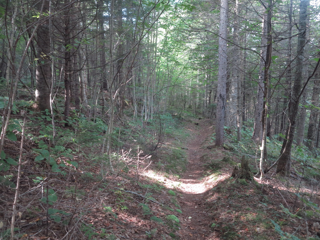
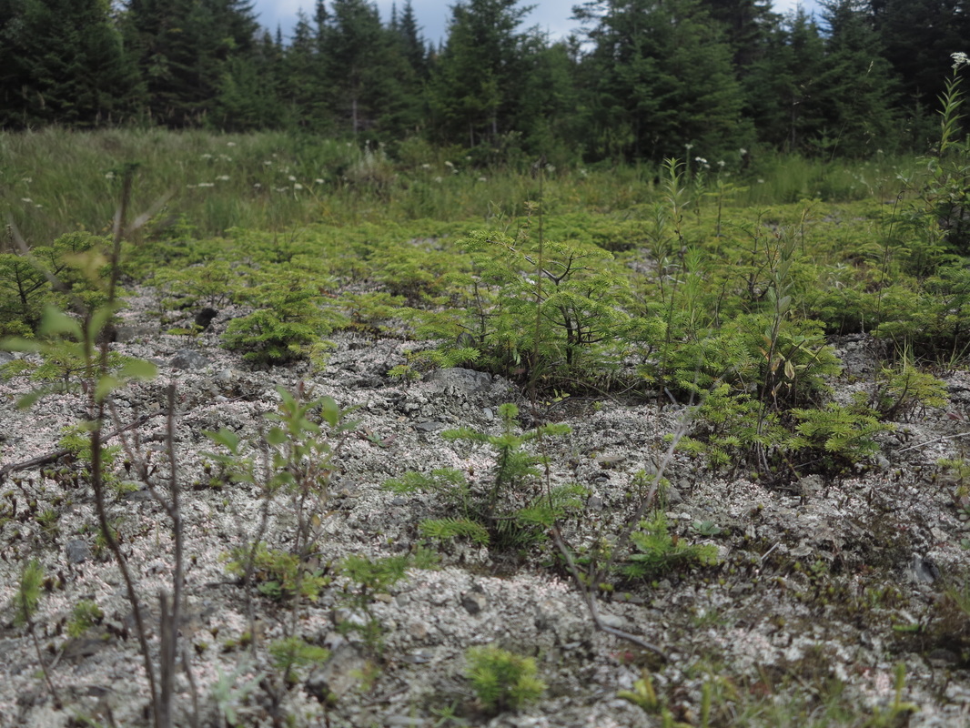
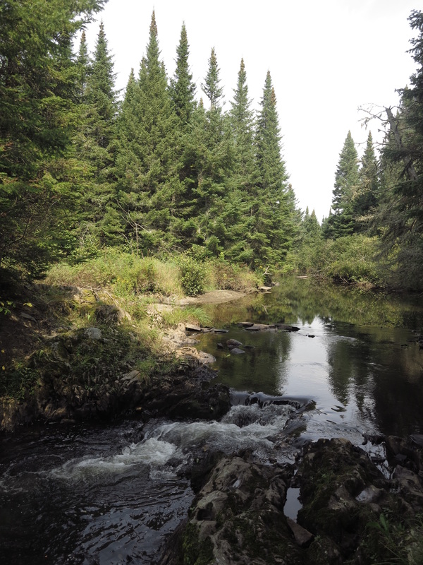
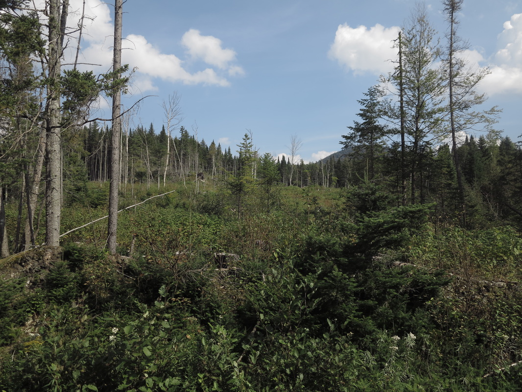
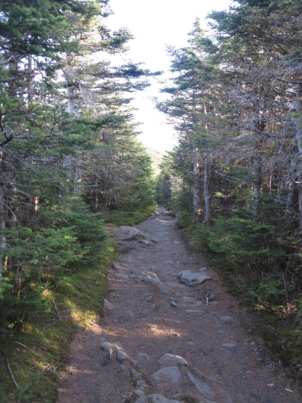
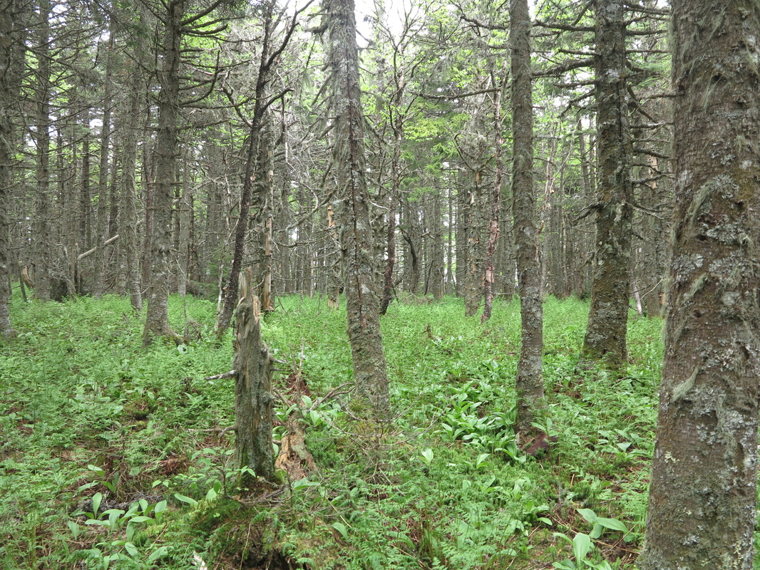
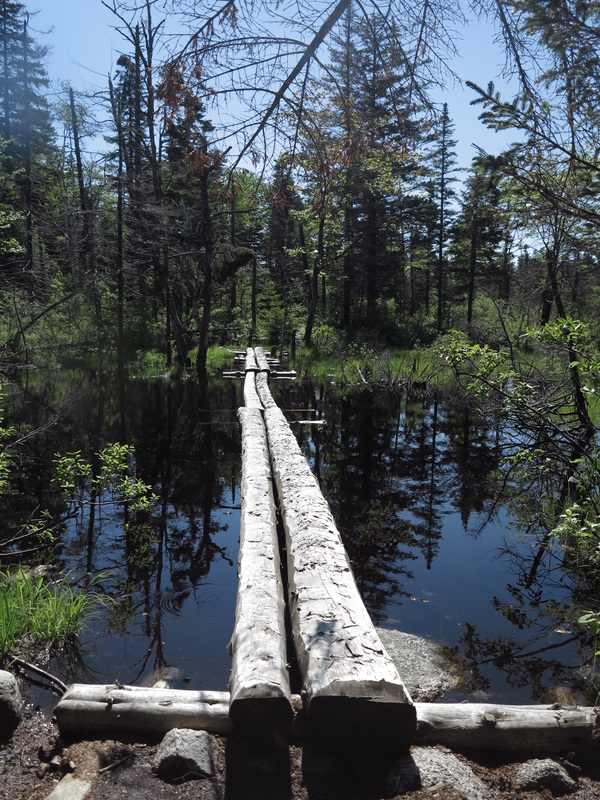
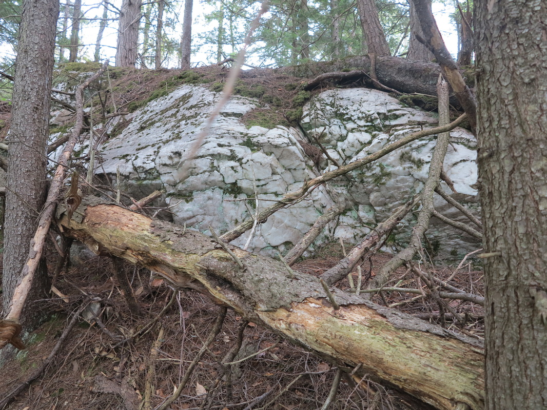
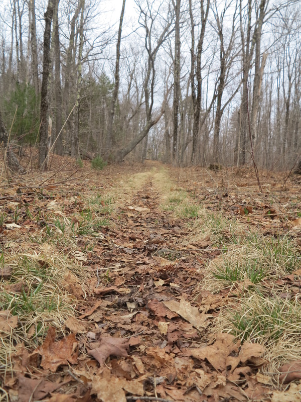
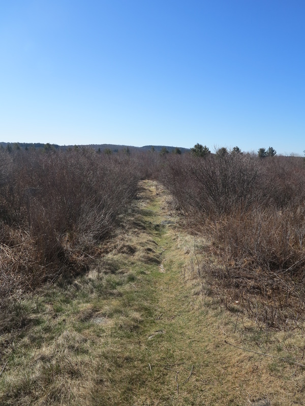
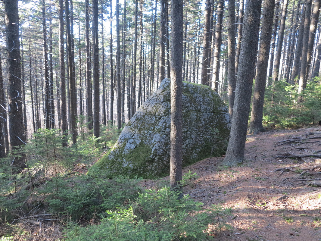
The second day took me up to the actual headwaters of Nash Stream, where it shrank to a trickle falling softly through meadows and little spruce trees that grew up on land that had once been logged. For miles the trail went alternately up minor peaks and down into a smattering of notches whose names I had never heard before—Moran, Gadwah, Kelsey.
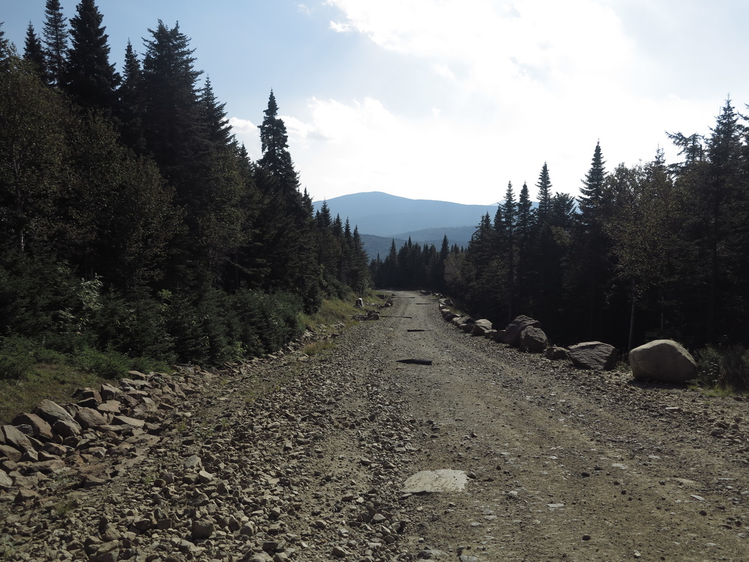
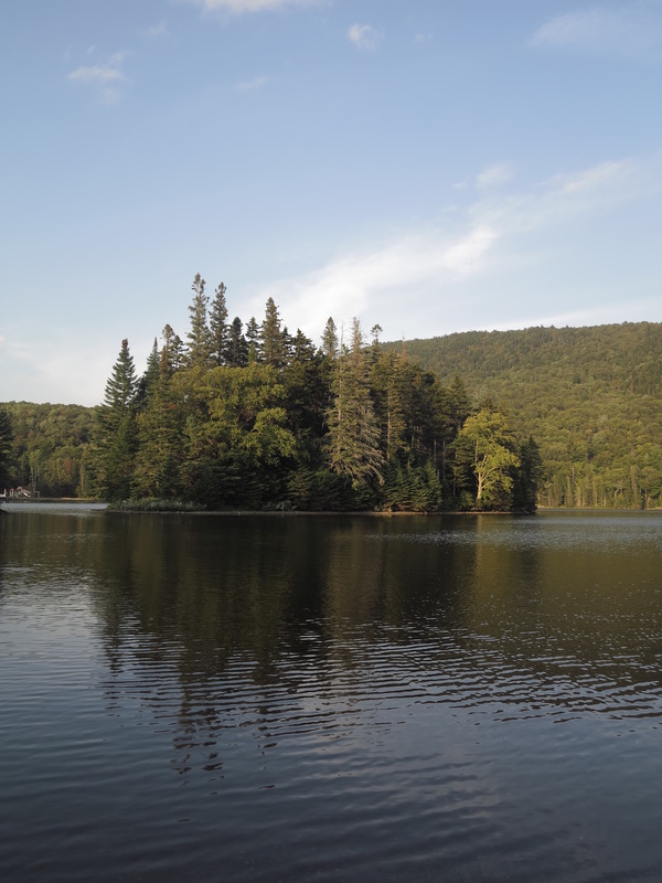
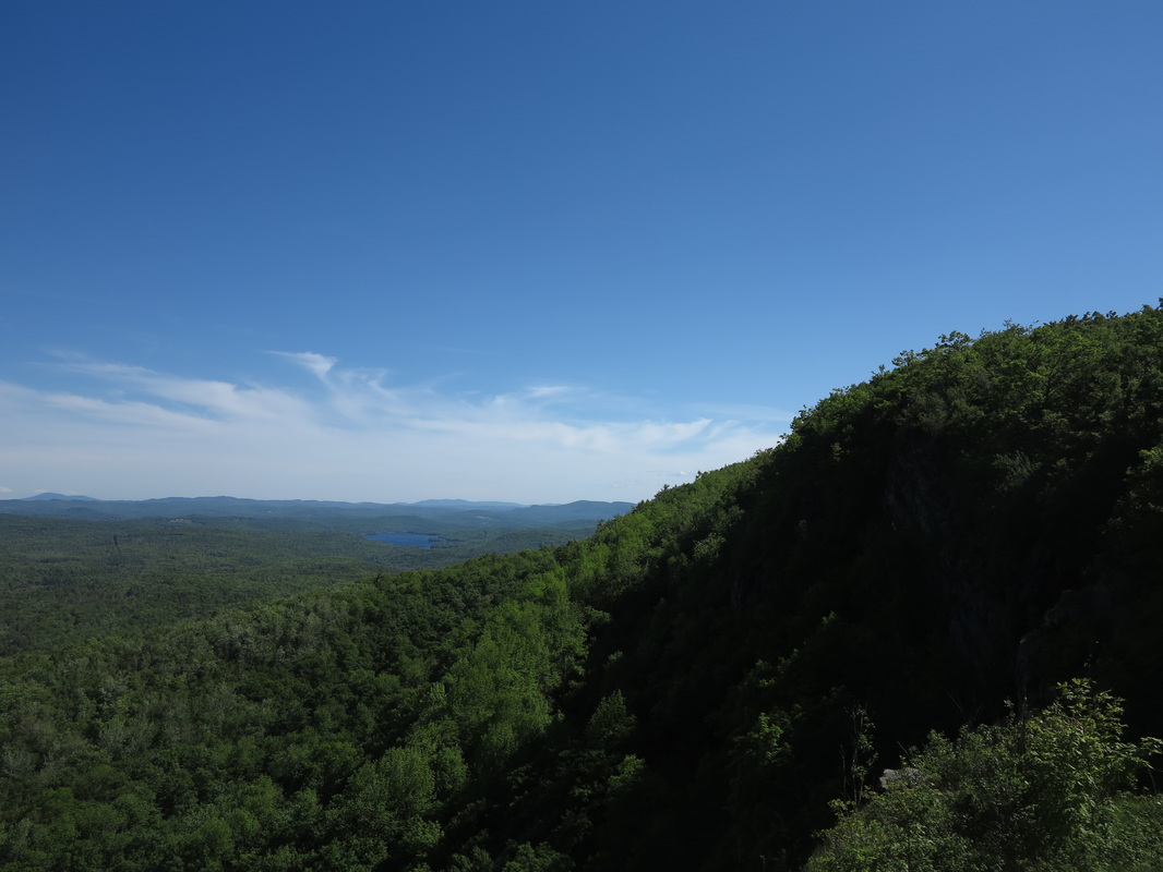
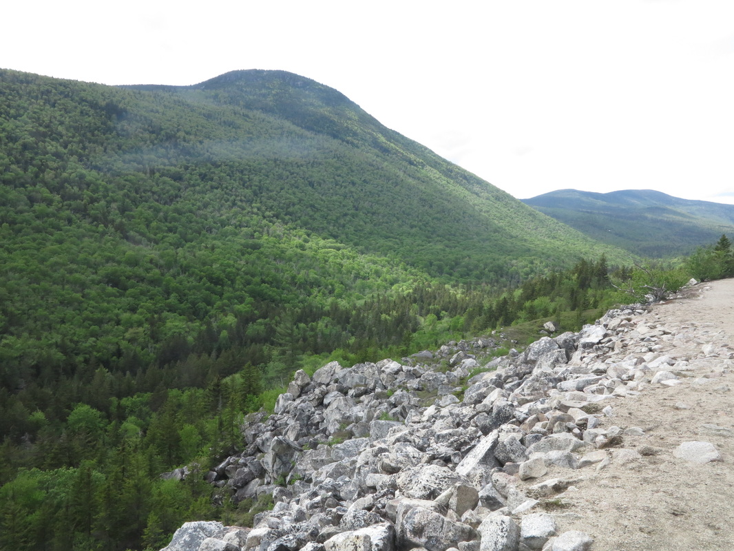
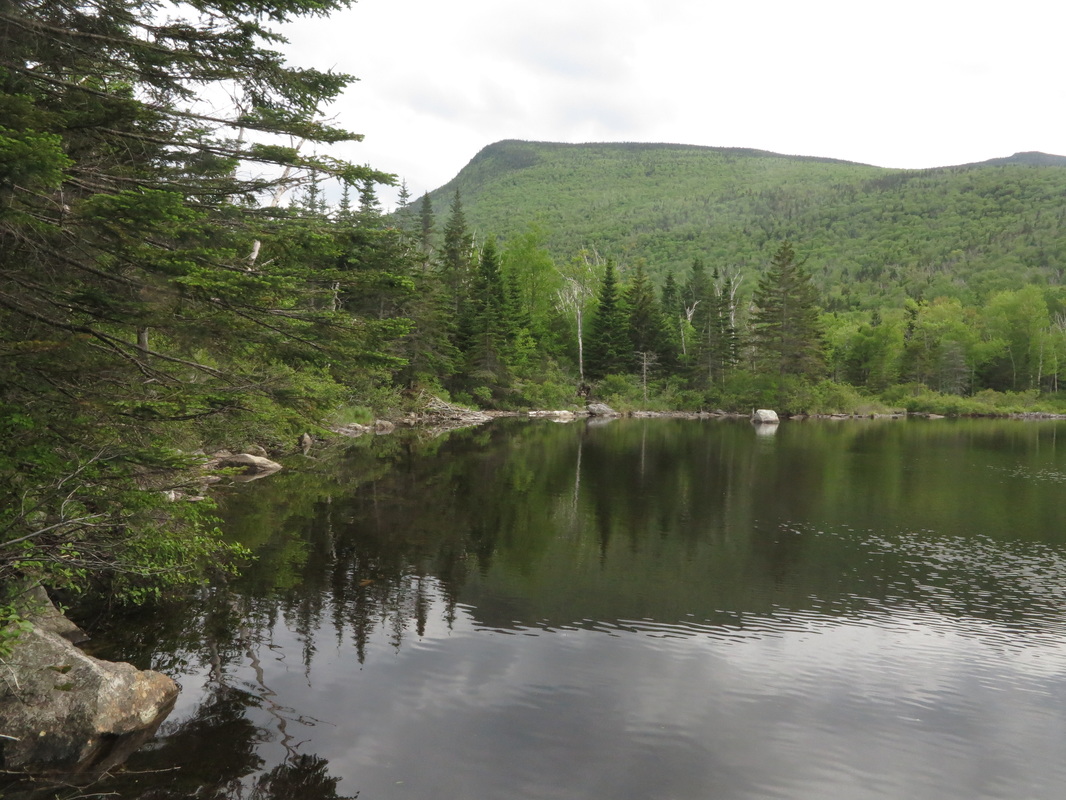
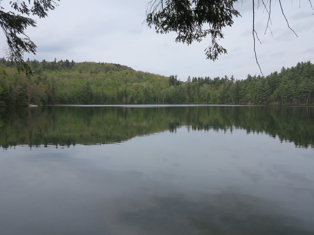
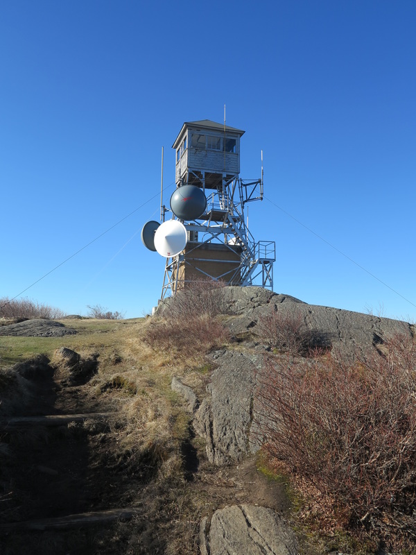
Then finally, after missing the cutoff on Dixville Peak that leads to the famous Table Rock overlooking Dixville Notch, I made my way down a steep trail that had been torn and beaten by A.T.V.s. It came out on Route 26, the Colebrook-Errol Road. I followed the road a mile or two east to the foot of the most dramatic of New Hampshire’s major mountain passes, just in time for a swim out to a small island in Lake Gloriette.
Then finally, after missing the cutoff on Dixville Peak that leads to the famous Table Rock overlooking Dixville Notch, I made my way down a steep trail that had been torn and beaten by A.T.V.s. It came out on Route 26, the Colebrook-Errol Road. I followed the road a mile or two east to the foot of the most dramatic of New Hampshire’s major mountain passes, just in time for a swim out to a small island in Lake Gloriette.
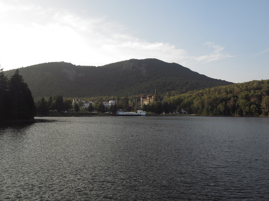
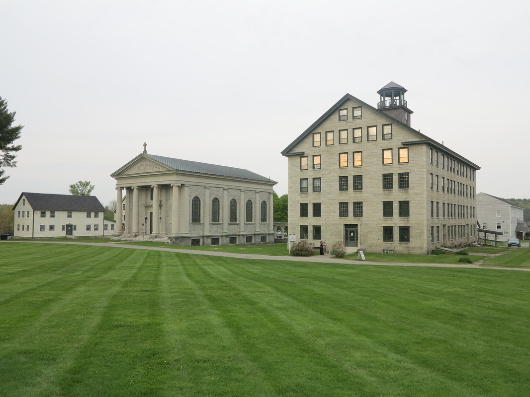
Right below the notch sits the Balsams Grand Resort Hotel, one of the leftover architectural marvels from an age when coming to New Hampshire was a big deal for tourists. Rich Bostonians and New Yorkers, seeking clean air and relief from the pressures and noise of the city, would take the train up as far as Colebrook, whence the resort would provide transportation for the remaining miles in what were then known as horseless carriages.
The hotel is currently experiencing the latest episode in a long history of attempts to revitalize some of the monuments of the area’s golden age of tourism, and although I doubt I could afford to stay there myself, if done well, the project signals a considerable improvement in taste over the prevailing mania for A.T.V.s, motorboats, and all things firearm-related that characterizes the contemporary northern tourism scene.
The hotel is currently experiencing the latest episode in a long history of attempts to revitalize some of the monuments of the area’s golden age of tourism, and although I doubt I could afford to stay there myself, if done well, the project signals a considerable improvement in taste over the prevailing mania for A.T.V.s, motorboats, and all things firearm-related that characterizes the contemporary northern tourism scene.
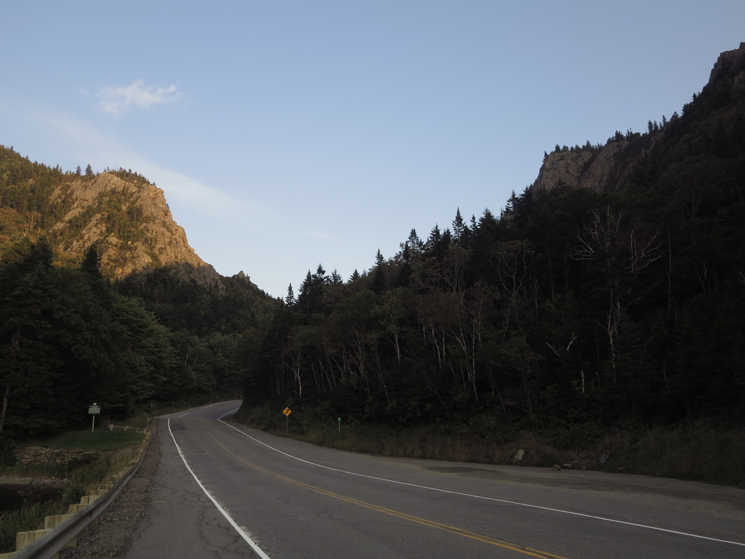
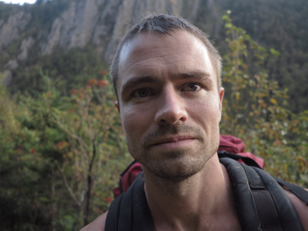
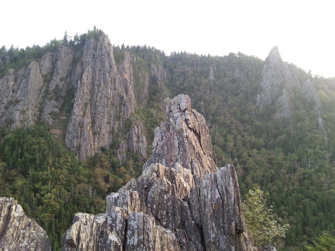
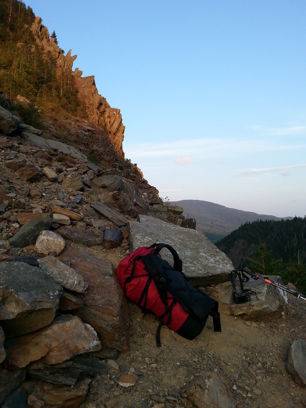
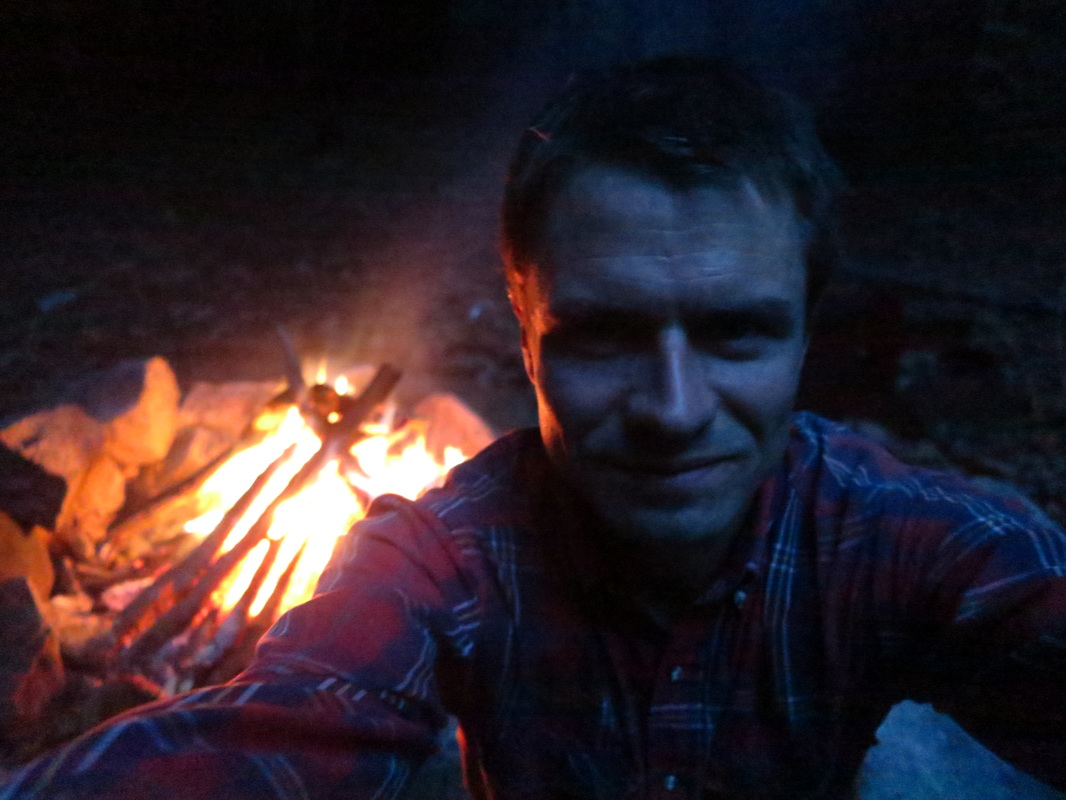
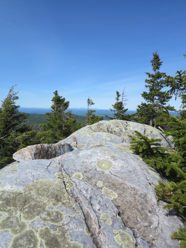
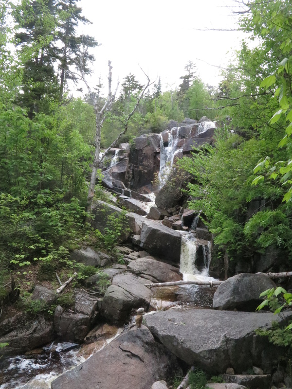
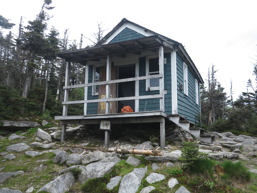
It was while climbing the zig-zag trail up the north wall of the Notch itself at sunset that I first hit my stride, nearly two days into the trip. The sunlight radiated off the amber-colored rocks. The air cooled. Views opened up to the east and west as I approached Sanguinary Ridge. I snapped a few pictures and decided I would walk until I reached the lean-to a couple of miles north of here.
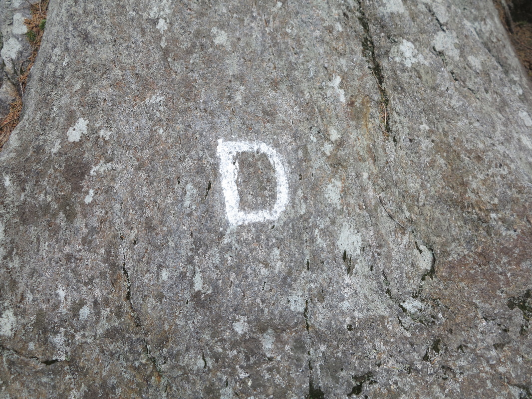
Dark came after a few minutes. I walked for a time without my headlamp, as is my preference. But soon there were so many moose paths going every which way that I decided it would be best if I used my light so that I could see the yellow blazes that mark the Cohos Trail.
Dark came after a few minutes. I walked for a time without my headlamp, as is my preference. But soon there were so many moose paths going every which way that I decided it would be best if I used my light so that I could see the yellow blazes that mark the Cohos Trail.
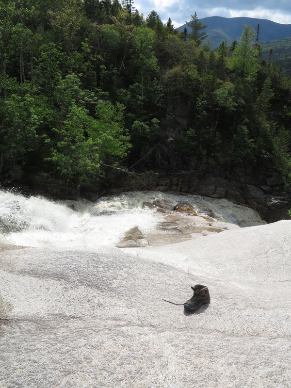
At first my light wouldn’t turn on, but when I pulled out the batteries and reloaded them, it worked fine. I couldn’t see any blazes in front of me, so I started walking back the way I had come, planting my low-top shoes up to my ankle in a fetid mud puddle I had somehow managed to avoid when I’d been walking in the dark.
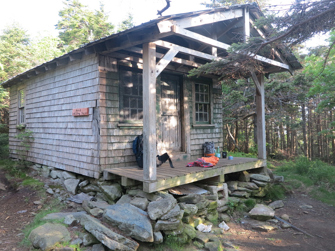
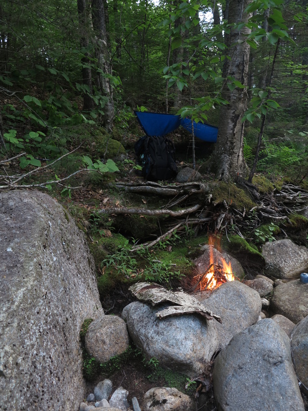
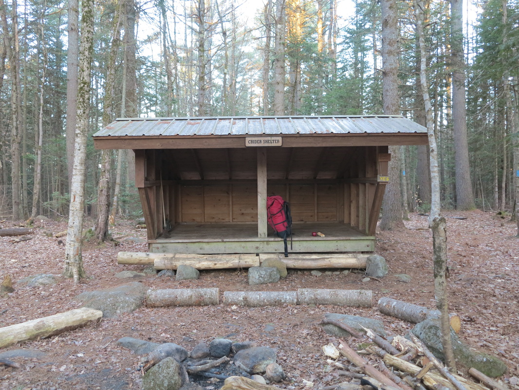
As it turned out, I had been on the right trail. But now I was wondering whether I had passed my lean-to, and I could see troubling clouds moving in above me. Having come without a tent, I really wanted that shelter.
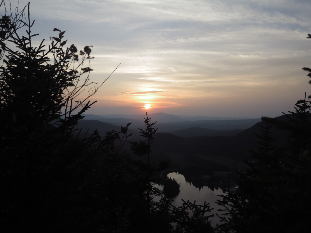
By some miracle I found the spot where the trail dropped away unmarked into the dense woods on the first try, and from there it was a short jaunt up to the lean-to. I was happy to be there, and hungry. Looking off to the horizon from the heights I could see only two lights.
As it turned out, I had been on the right trail. But now I was wondering whether I had passed my lean-to, and I could see troubling clouds moving in above me. Having come without a tent, I really wanted that shelter.
By some miracle I found the spot where the trail dropped away unmarked into the dense woods on the first try, and from there it was a short jaunt up to the lean-to. I was happy to be there, and hungry. Looking off to the horizon from the heights I could see only two lights.
It rained hard that night on the roof of the shelter. The trail in the morning was wet, especially in the long sections of grass and sedge nearly as tall as myself that I had to plow through. By accident I followed some old blazes in the middle of the morning, and I ended up walking in a three-mile circle. At first I was very upset, but as I made my way up a long slog of an ascent through the section where the wet grass was tallest for the second time, I became reconciled to it as my body and mind fell into the spirit of wandering that this journey was all about.
I reached a campground in Coleman State Park shortly after midday and sat on a bench to have lunch. I plugged my phone into an outdoor power outlet and, after eating, walked off without it. A few hundred yards beyond the campground I remembered the phone and went back. Only then did I realize that I had been marching off in the wrong direction, and I was glad of the momentary lapse of memory.
I reached a campground in Coleman State Park shortly after midday and sat on a bench to have lunch. I plugged my phone into an outdoor power outlet and, after eating, walked off without it. A few hundred yards beyond the campground I remembered the phone and went back. Only then did I realize that I had been marching off in the wrong direction, and I was glad of the momentary lapse of memory.
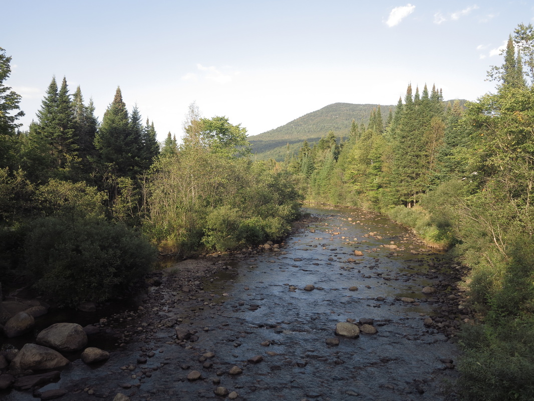
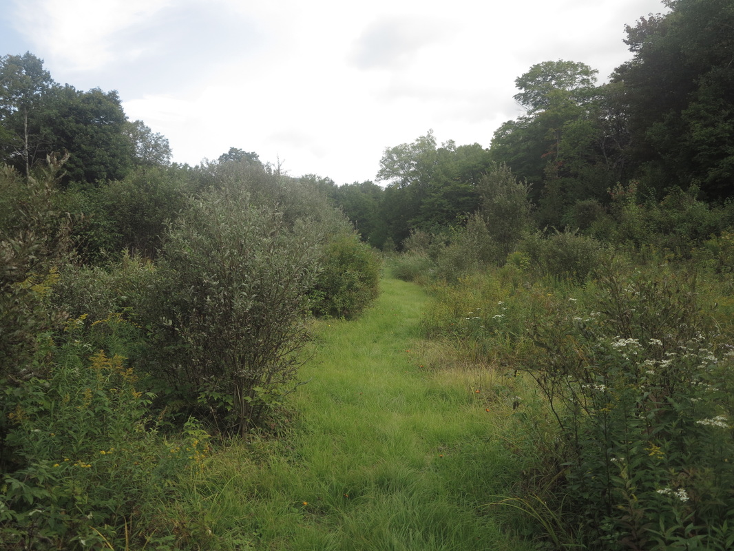
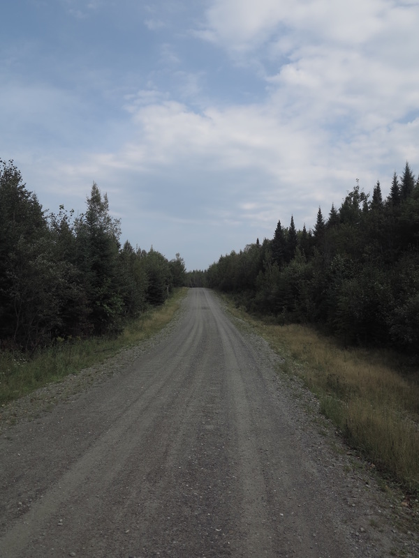
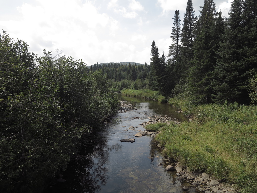
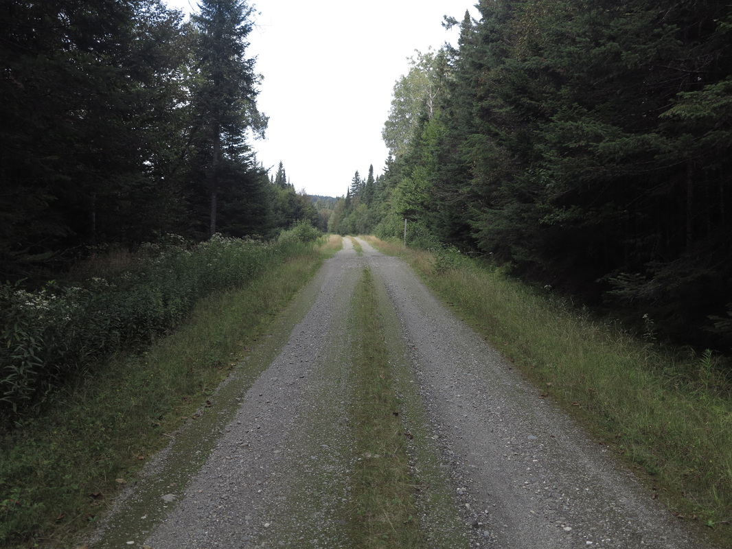
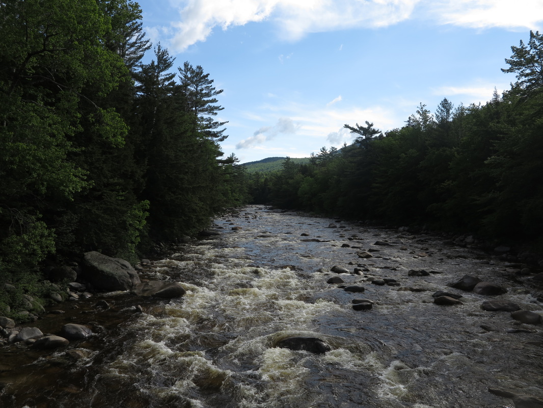
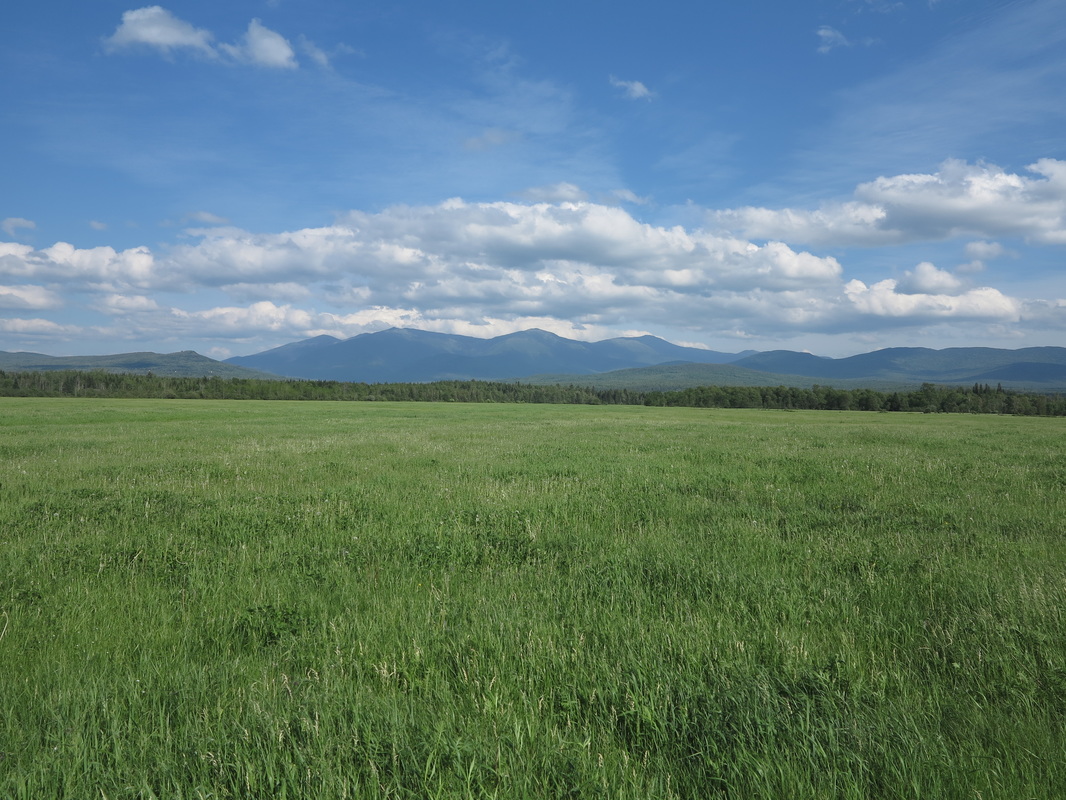
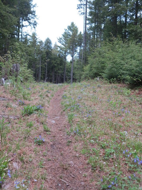
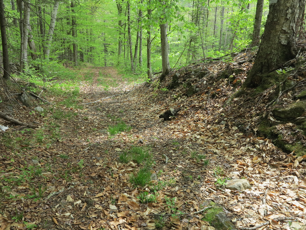
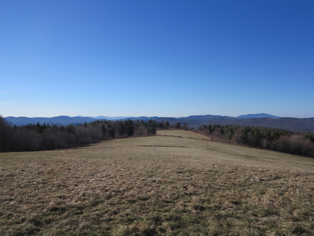
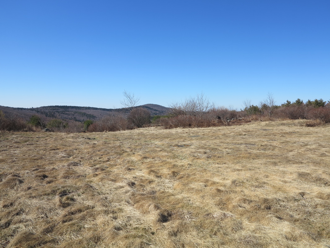
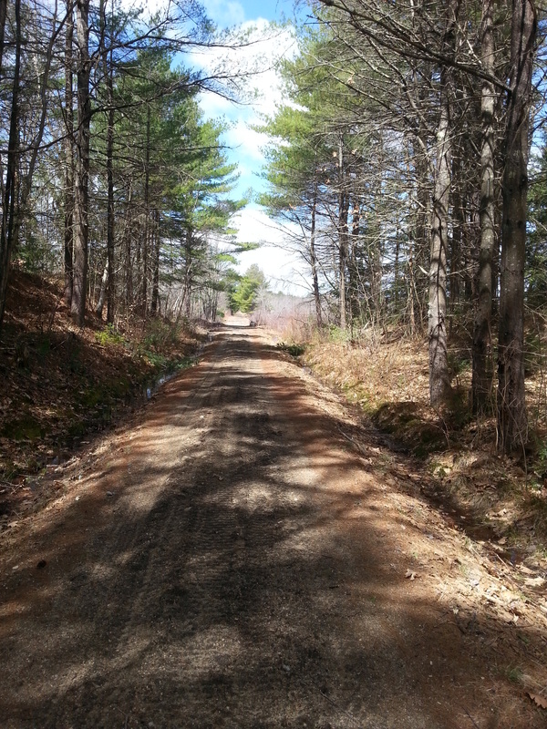
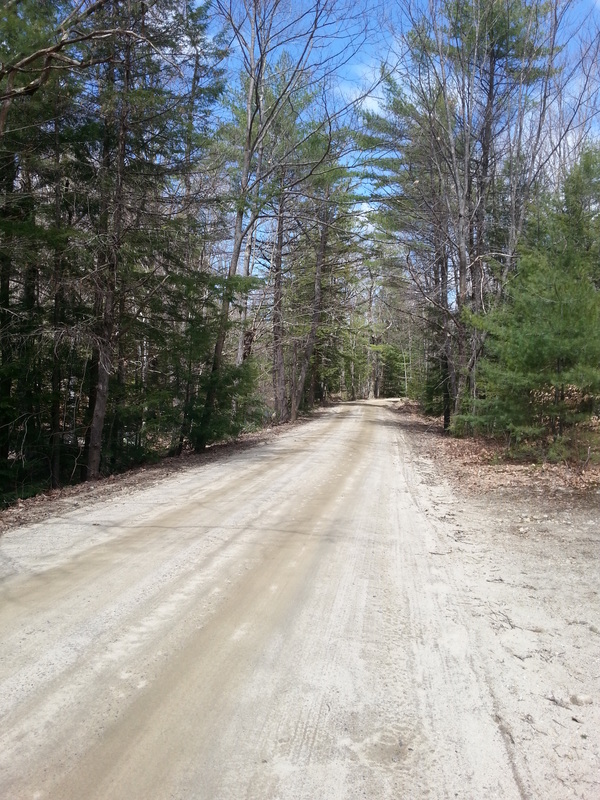
The next five or ten miles were among the most pleasant of my entire walk up the length of New Hampshire. I ambled along country roads that here were made of grey gravel, in contrast with the light brown dirt one usually encounters farther south. It’s the same material that’s usually found on Canadian back roads.
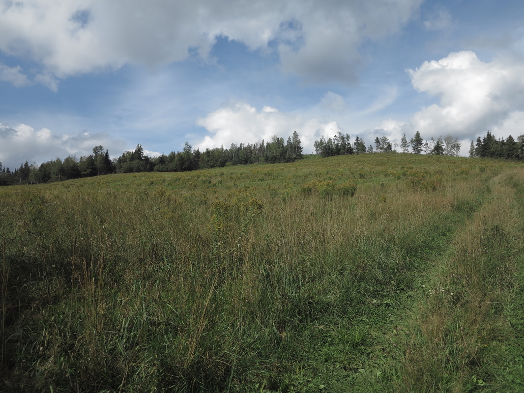
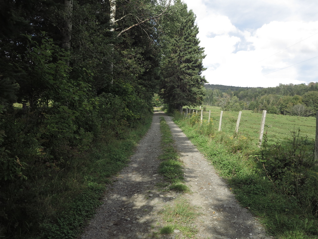
There was so little traffic on these roads that in many places healthy patches of grass grew between the wheel ruts. I went south for a distance, then west, and finally north again up a steady rise to the Stewartstown plateau. It was a blended country of northern forest and pasturelands. Feral apple trees grew everywhere, and I feasted on their bounty. Shaggy cows grazed while ravens, now outnumbering the southern crows, exercised their always surprising range of vocal skill. A flock of turkeys wobbled along the rough track in front of me before ducking under a barbed-wire fence into a field for no clear reason.
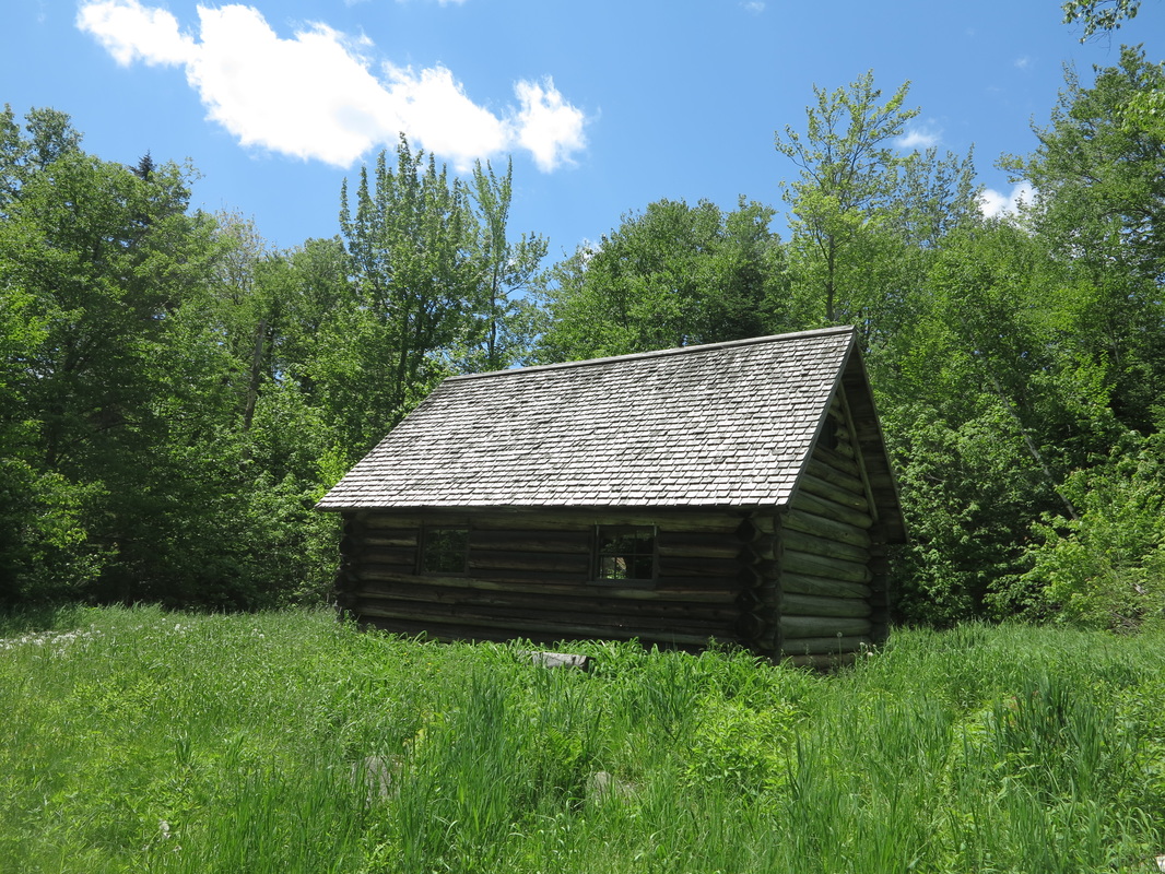
When nightfall came, hours later, I was on a broad gravel logging corridor that led into Pittsburg. The clouds opened up again and dumped torrents of rain on me. I took a slight chill and soon found myself standing on the covered porch of a camp a mile or two outside town, contemplating spending the night on the dry wooden floor, when I noticed that the door was open. There had been no signs of life in the driveway, so this was curious.
I leaned into the house and called out. “Hello! Hello?” There was no answer. I surmised that the owners must just have gone into town. In my winter travels in places far remoter than this, I have never made any bones about spending the night in someone’s unlocked cabin. It is the way of the north. But to spend the night here because of a little rain would have been pushing it, so I moved on.
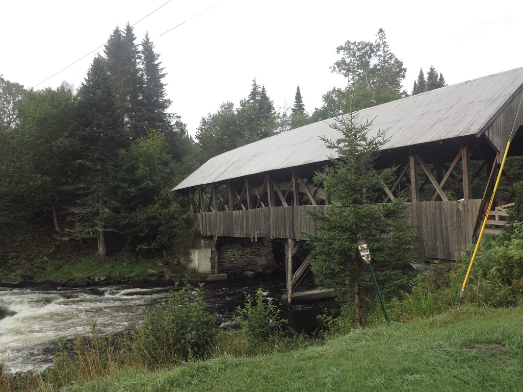
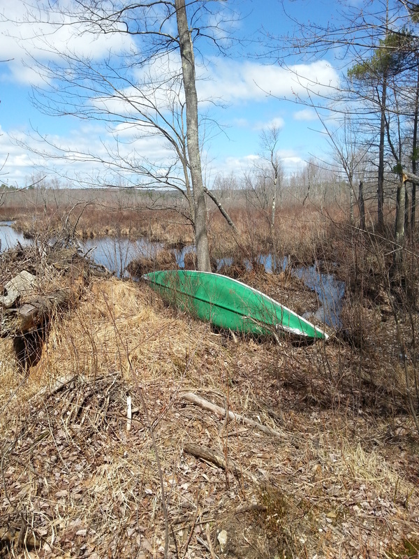
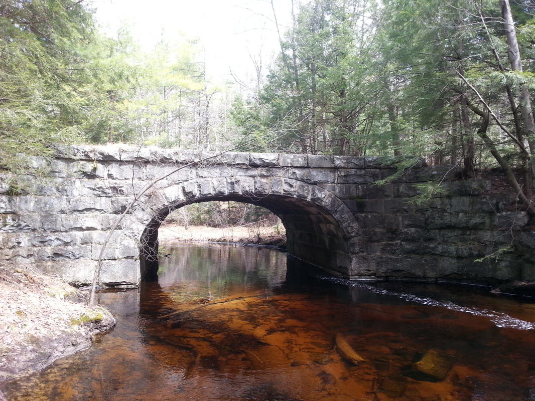
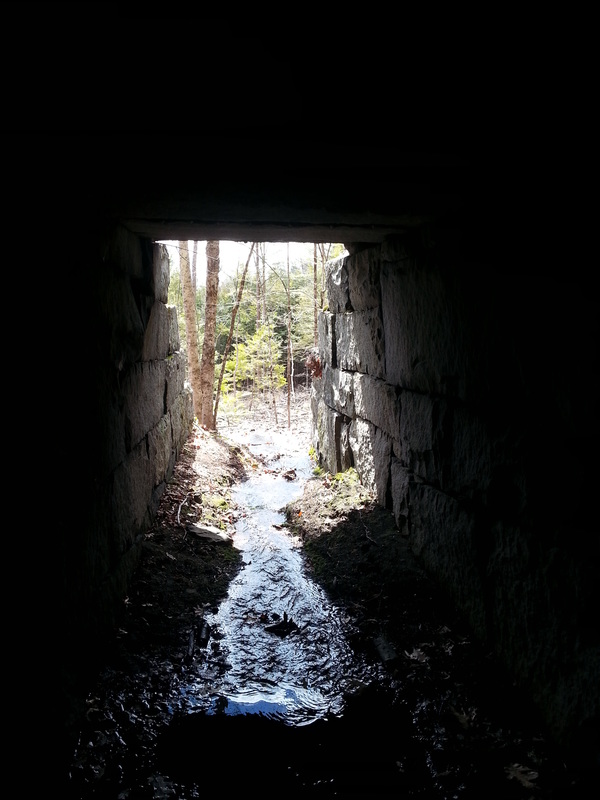
It was actually a few minutes before the rain started to fall that I had remembered Pittsburg’s covered bridge spanning the nascent Connecticut River. Years before, my brothers and I had started a canoe trip there, and I recalled that it was no longer in use by cars. Tucked down in the woods away from the main road, in my mind’s eye it now seemed like a perfect place to spend the night undisturbed and out of the rain.
So that’s just what I did.
I leaned into the house and called out. “Hello! Hello?” There was no answer. I surmised that the owners must just have gone into town. In my winter travels in places far remoter than this, I have never made any bones about spending the night in someone’s unlocked cabin. It is the way of the north. But to spend the night here because of a little rain would have been pushing it, so I moved on.
It was actually a few minutes before the rain started to fall that I had remembered Pittsburg’s covered bridge spanning the nascent Connecticut River. Years before, my brothers and I had started a canoe trip there, and I recalled that it was no longer in use by cars. Tucked down in the woods away from the main road, in my mind’s eye it now seemed like a perfect place to spend the night undisturbed and out of the rain.
So that’s just what I did.
Next morning I stopped in at the Main Street Trading Post, a Pittsburg convenience store with a disgruntled and uncommunicative cashier. I spent money for the first time since leaving Norwich. My all-important supply of snacks was dwindling, and I wanted to make sure I had a little extra for unforeseen eventualities. It was my hope to make the border that day, but I was unsure exactly how far it was and what the final part of the route would look like.
I drank a second cup of coffee at the picnic table in front of the store and then walked up Back Lake Road, having left the Cohos Trail behind the night before; the route that it took north was too close to the main road for my liking.
I drank a second cup of coffee at the picnic table in front of the store and then walked up Back Lake Road, having left the Cohos Trail behind the night before; the route that it took north was too close to the main road for my liking.
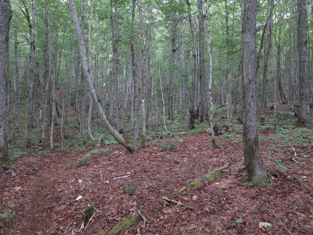
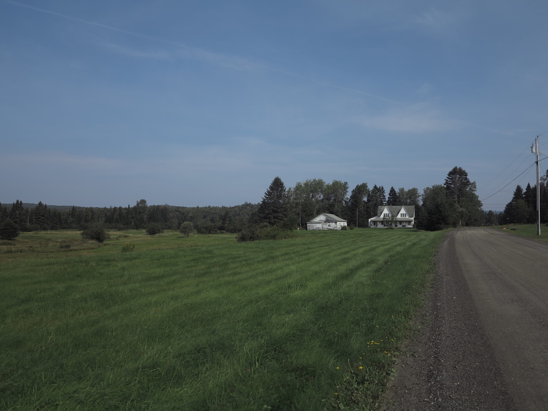
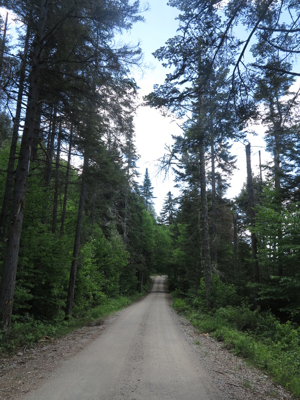
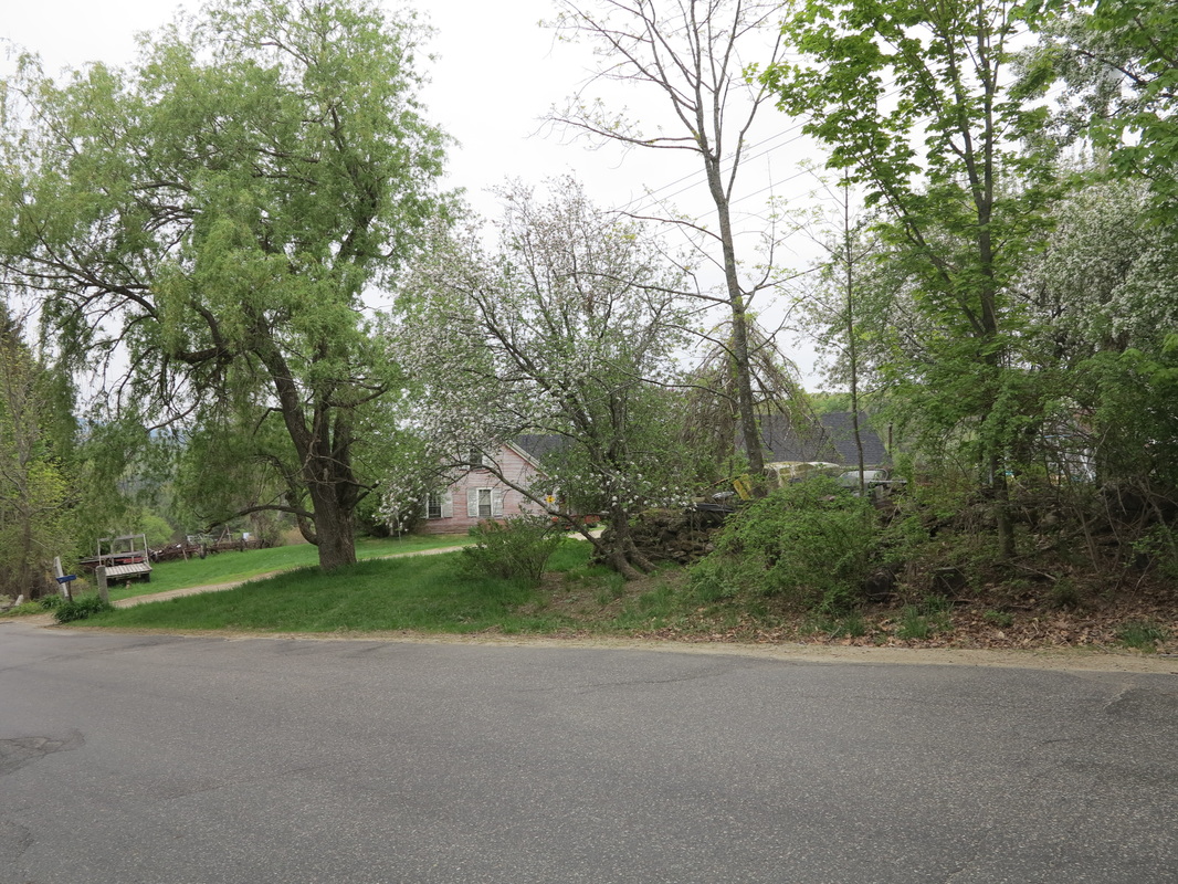
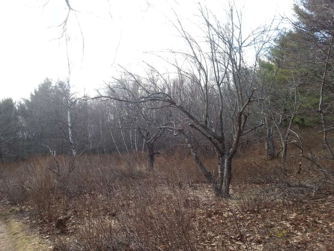
Day Road turns due north off of Route 3 a few miles outside Pittsburg. It was here that I began to head into the bush for the final part of my walk. The first miles were fielded intervale dotted with a mix of houses and camps. Then Day Road becomes the Perry Stream logging road, which reaches another ten miles north, almost to the border.
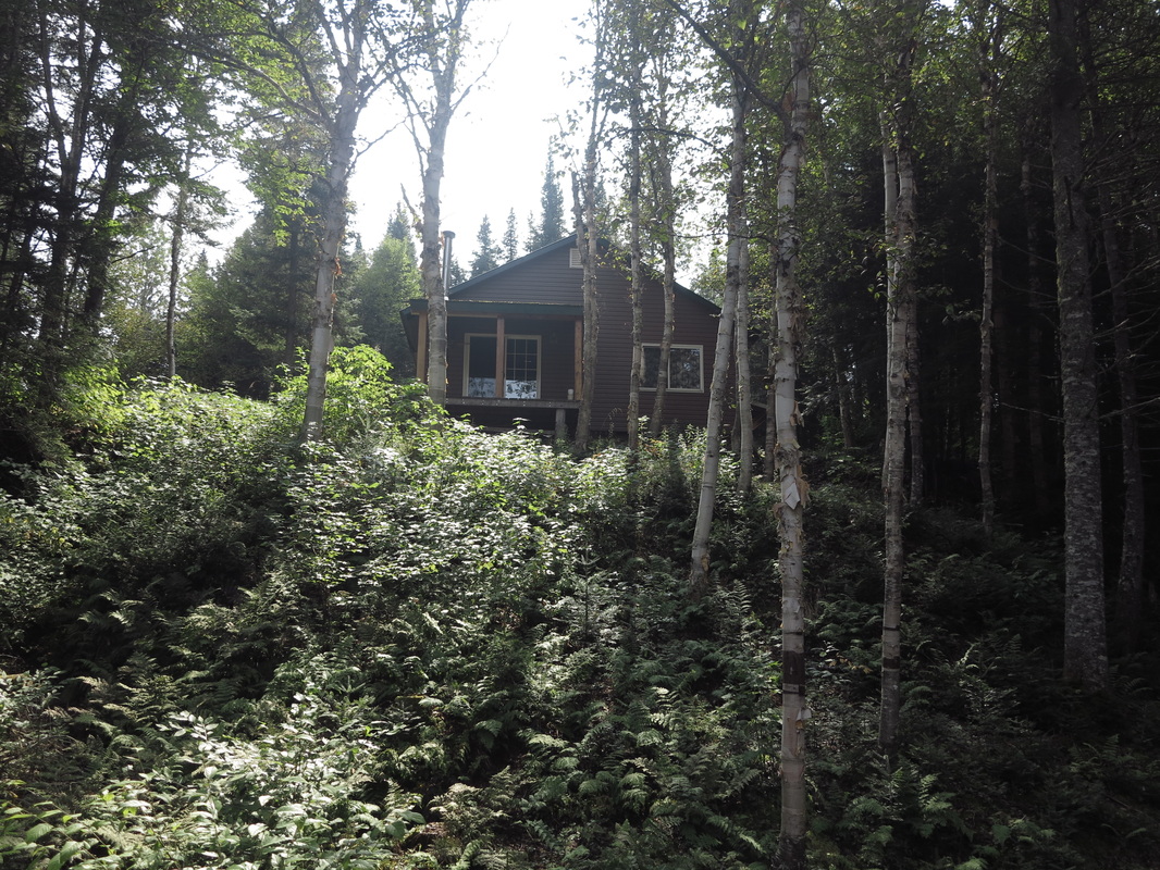
If you look for them, you will see lone camps stashed away among the shadows every mile or so along this road, but the feeling is remote and northern. But for a few sugar maples and the ubiquitous aspens, hardwoods have gone from the arboreal mélange. You are no longer in the woods, but in the bush. Politically, you are in the United States, but you are in a Canada of the mind.
If you look for them, you will see lone camps stashed away among the shadows every mile or so along this road, but the feeling is remote and northern. But for a few sugar maples and the ubiquitous aspens, hardwoods have gone from the arboreal mélange. You are no longer in the woods, but in the bush. Politically, you are in the United States, but you are in a Canada of the mind.
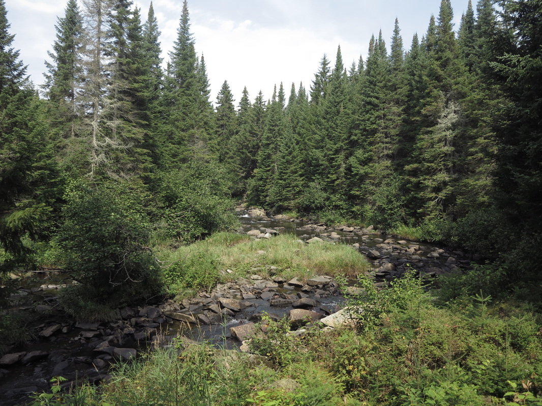
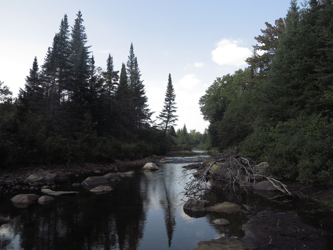
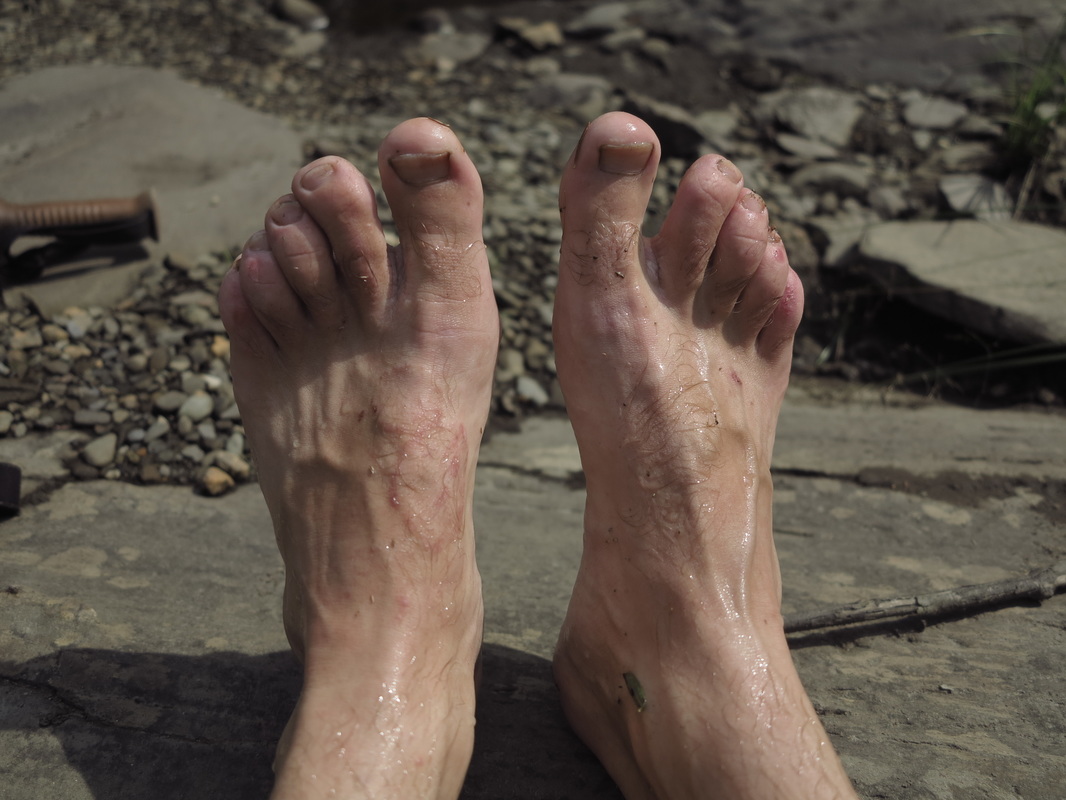
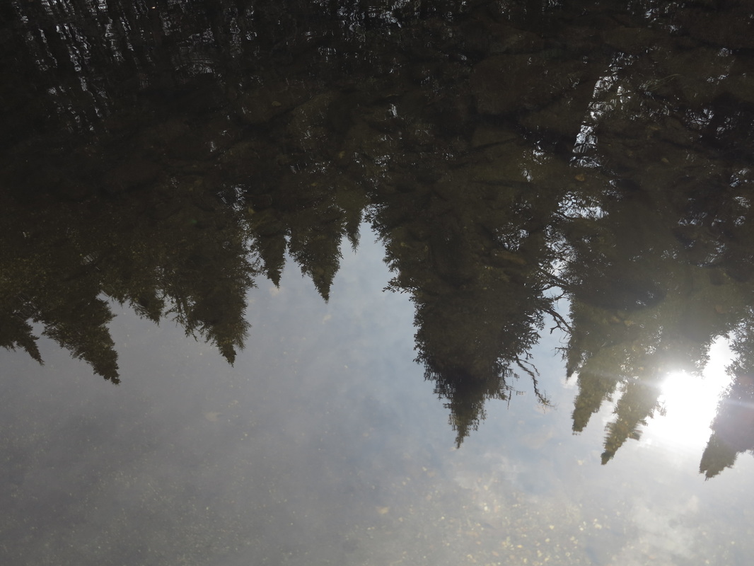
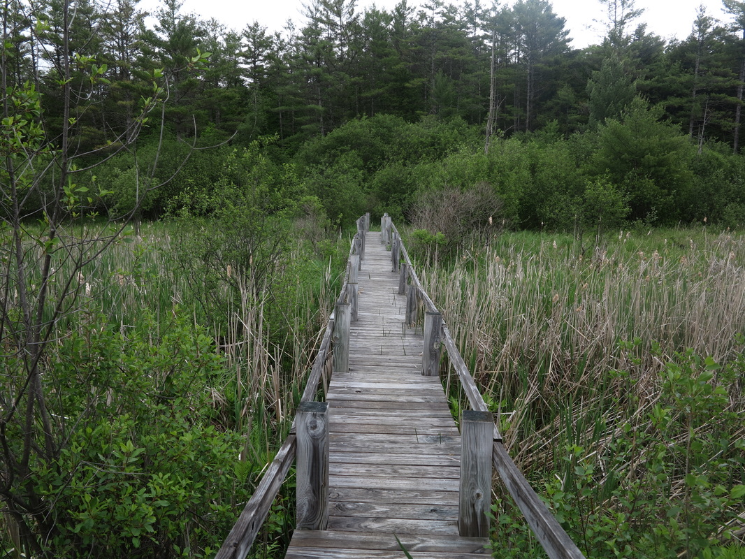
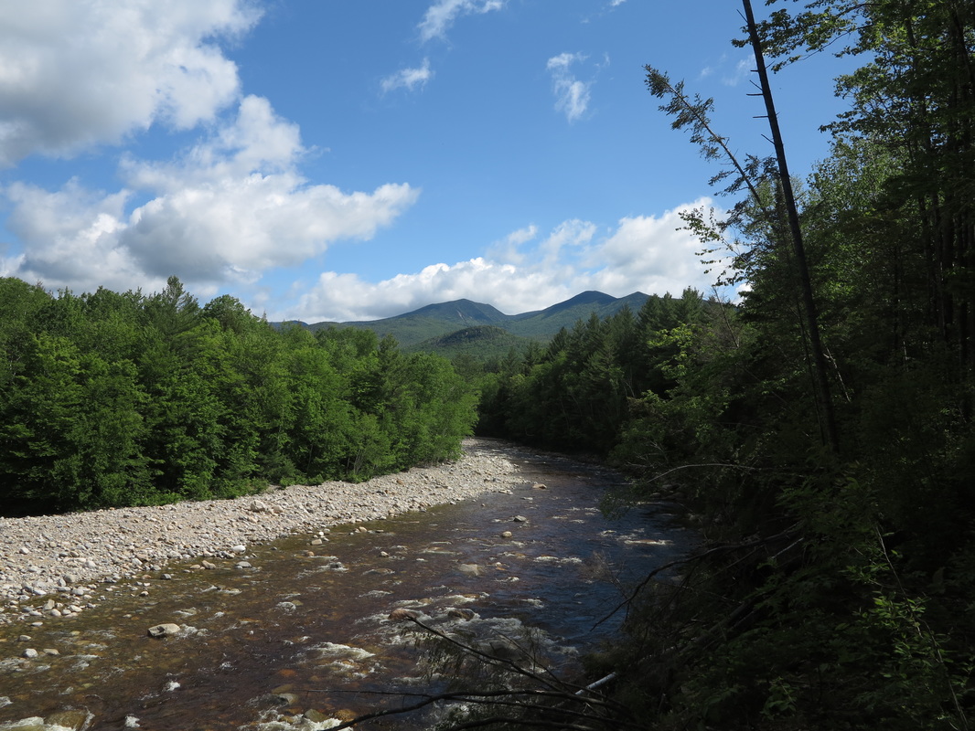
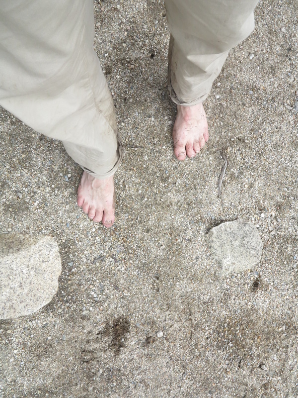
I stopped to stand on my head for a while to take some of the soreness out of my feet. Later I broke for lunch and a swim at a burbling dip in Perry Stream—all carefreely au naturel. The tall black spruce trees hung down into the azure sky as I saw them reflected in the pool in front of me.
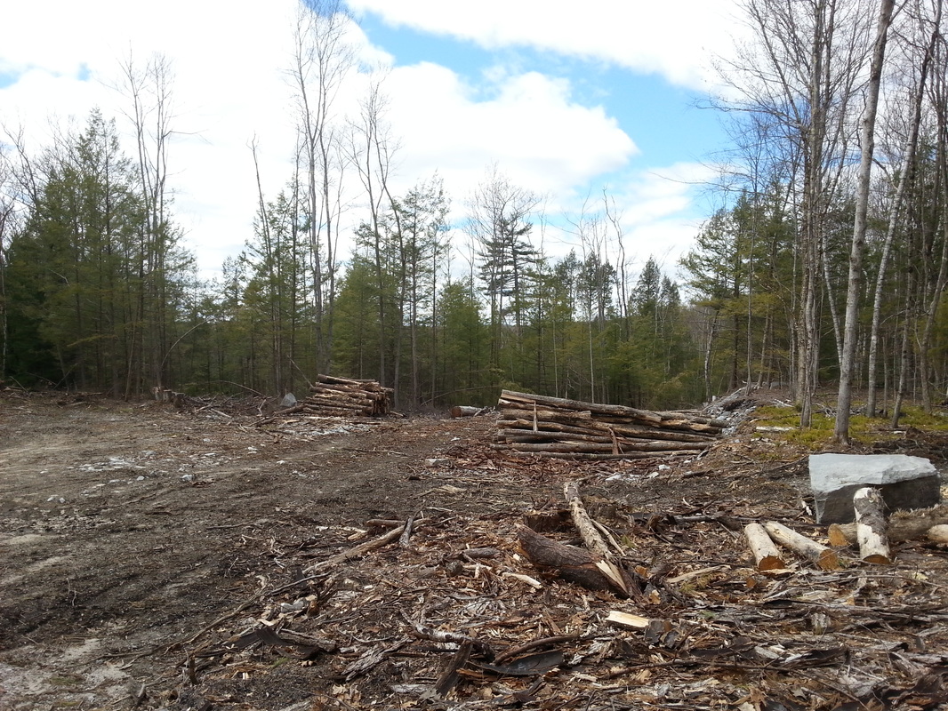
Just shy of mileboard five I found a man and woman trapshooting in an old cutblock. I asked them if they knew what lay beyond the end of the road, telling them that I had a back-up plan to cut over Deer Mountain to join up with a snowmobile trail to the border.
“The Deer Mountain cutoff is probably three miles farther,” the man told me. “But this road goes up for maybe another five. It gets pretty close to the border. When you come to the end, there’s a foot trail that continues north. We’ve followed it up a little ways to go bird hunting, but I don’t like to get too close the border, so I’ve never gone very far. I don’t want to have anything to do with those border patrol guys.” My eyes couldn’t help but wander to the “Live Free or Die” motto on the license plate of his truck.
I asked for a few more details. “Got your passport?” he asked.
I had one for each country.
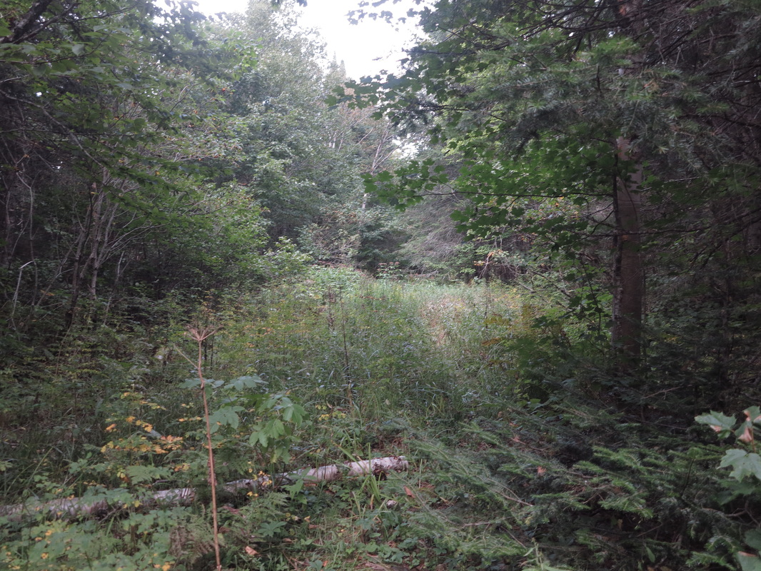
The news of a possible trail put even more spring in my already vigorous home-stretch step. The man had reckoned that any bushwhack to the cutline along the border couldn’t be more than two or three miles. That sounds short, but the northern bush is thick. I had no idea what time it was and I didn’t want to know. Movement was my mission. I was almost there.
The Perry Stream Road, at this point growing in with grass and littered with deadfall, ended in a wall of trees at about mile ten. I took a bearing off my map for a point where the border intersected a clearly recognizable spot. Perry Stream itself was now the merest rill, but there was still uphill ground to cover before the waters tilted toward the St. Lawrence.
The Perry Stream Road, at this point growing in with grass and littered with deadfall, ended in a wall of trees at about mile ten. I took a bearing off my map for a point where the border intersected a clearly recognizable spot. Perry Stream itself was now the merest rill, but there was still uphill ground to cover before the waters tilted toward the St. Lawrence.
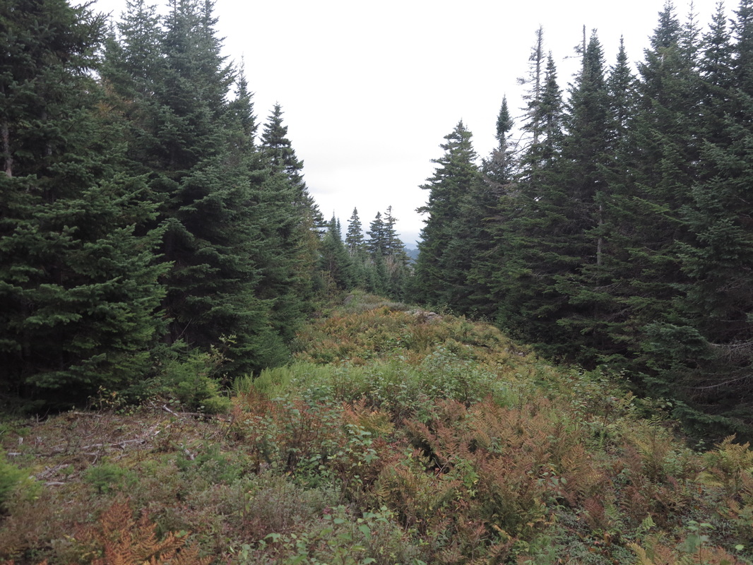
My bearing took me right to a small opening in the bush that proved to be a rough trail, used mostly by moose. It followed a creek bed, or the runoff had simply taken the course of the treadway; it amounted to the same thing. The trail was probably a remnant of an old logging road or skidder path, but I imagined it as a grown-over whisky runners’ trail from the days of Prohibition. In my mind my backpack was brimming with contraband—which put a little more fire in my step.
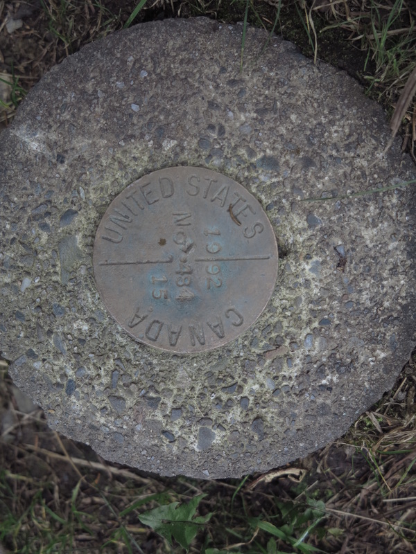
What trail there was dissipated after a few hundred yards, or I simply lost it. But I pushed northeastward. At one point I came to an area grown thickly in with young balsams coming up through old deadfall and decomposing slash. It was hard to see, or move, or find a place for one’s feet. Long and high moose steps took me slowly forward. Alder-choked bogs heightened the nuisance of the going. But after not too long—maybe 30 minutes, maybe more—I hit the cutline that marks the border (a 58-mile squiggle on the map between Vermont and Maine).
I had read that the line is surveyed by drones and human-activated motion sensors, but I saw no signs of any of this. (And when I eventually did get down to the border-crossing station, no one on either side gave the slightest indication of having known I was coming.)
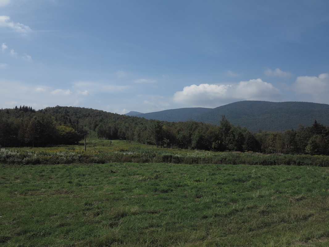
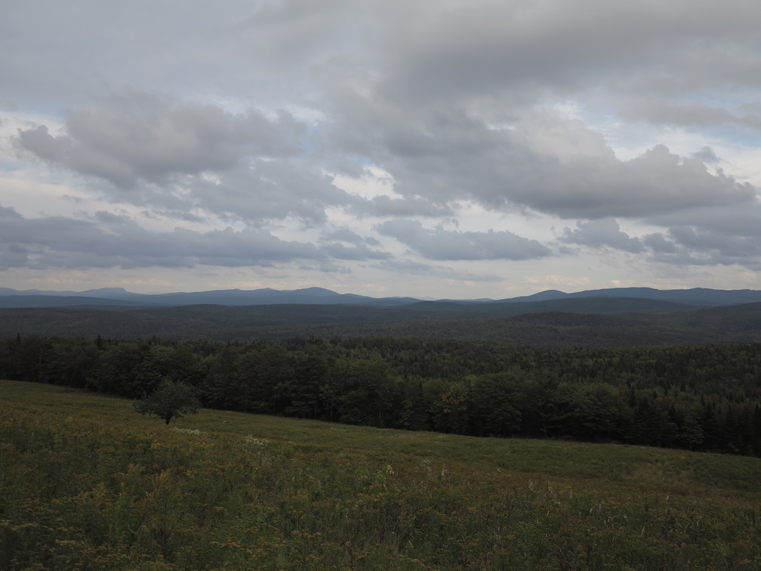
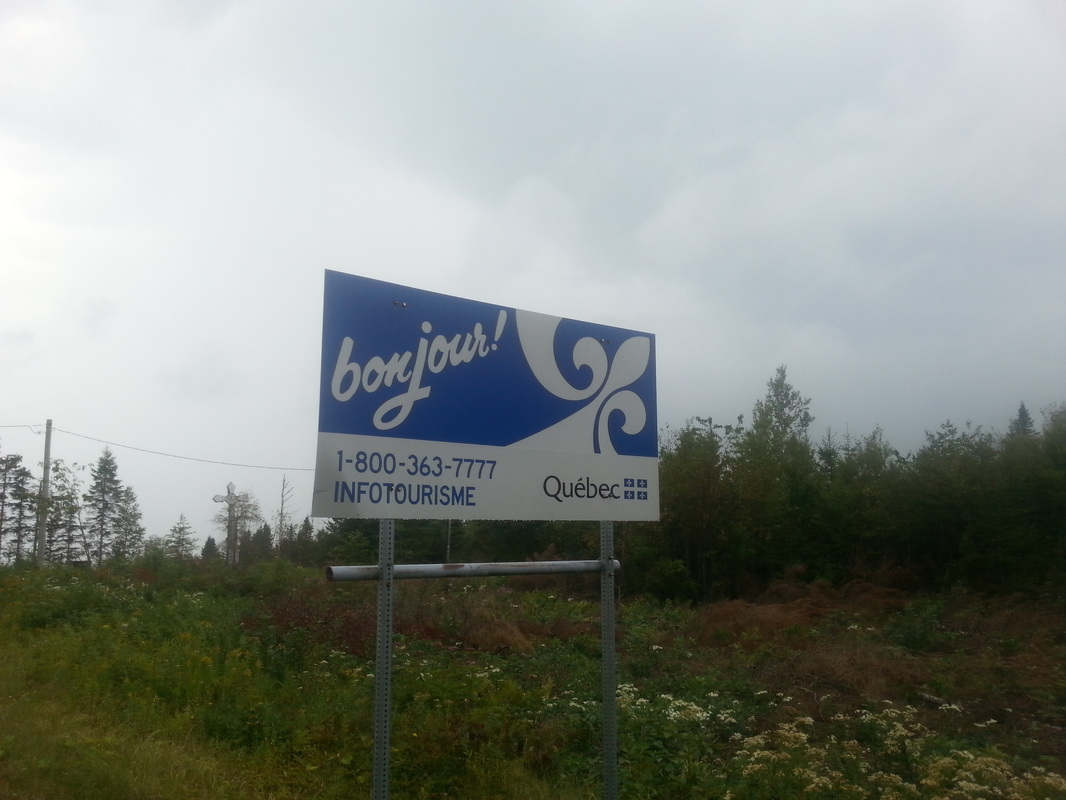
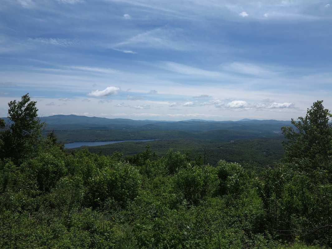
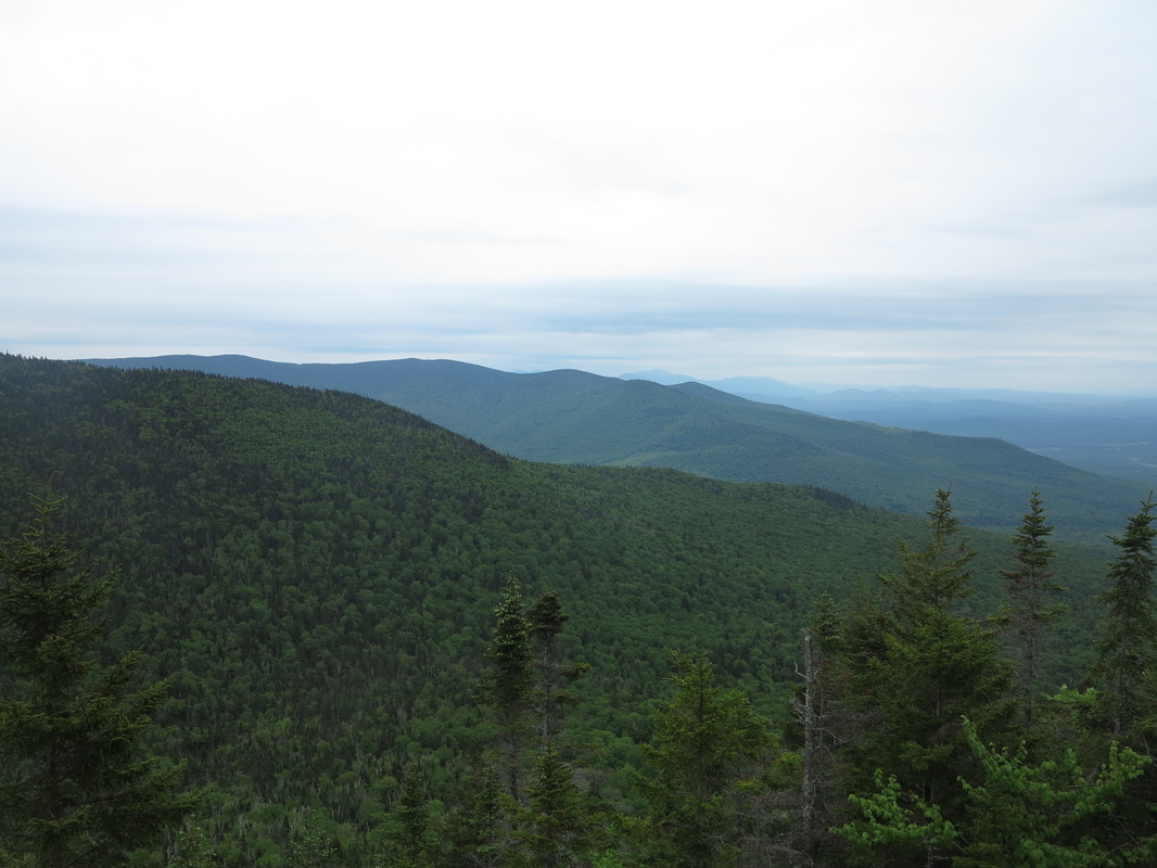
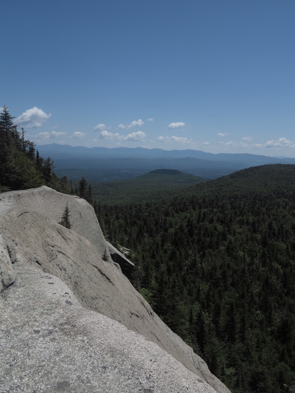
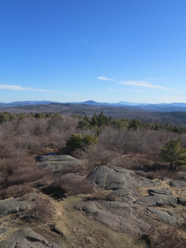
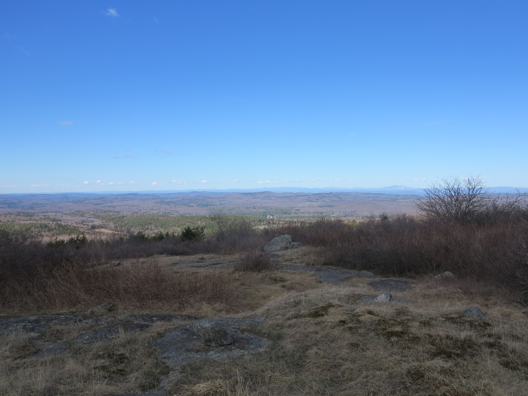
The tree-shorn swathe ran over steep and rocky terrain on the summit of Prospect Hill. Eastward was sharply down. Stormy weather was brewing (it had been beautifully sunny most of the day), grey and looming clouds, but there was still a view out to the closer mountains of Quebec and northwestern Maine.
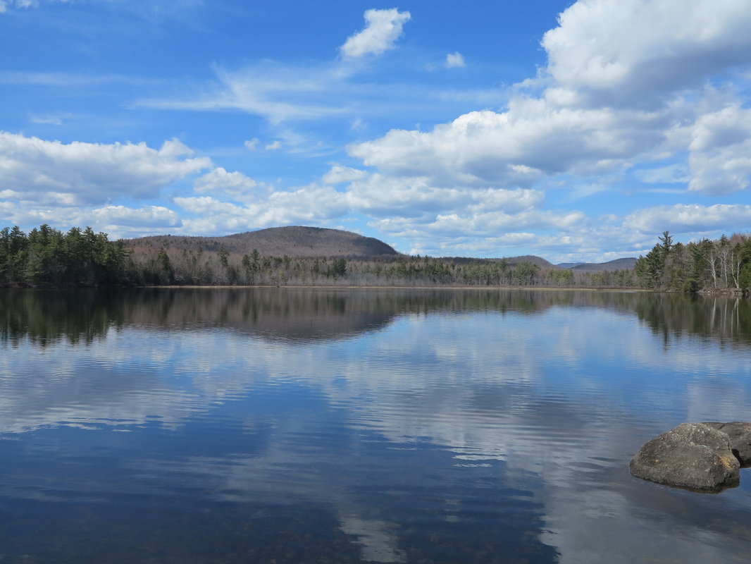
From the line, a little distance east of where I emerged, I took a 300-yard spur to the swampy Fourth Connecticut Lake. (“Most people don’t know there is a Fourth Connecticut Lake,” the trapshooter had said.) I then began moving fast toward the border station, hoping I might be under a roof when the inevitable torrent hit.
What trail there was dissipated after a few hundred yards, or I simply lost it. But I pushed northeastward. At one point I came to an area grown thickly in with young balsams coming up through old deadfall and decomposing slash. It was hard to see, or move, or find a place for one’s feet. Long and high moose steps took me slowly forward. Alder-choked bogs heightened the nuisance of the going. But after not too long—maybe 30 minutes, maybe more—I hit the cutline that marks the border (a 58-mile squiggle on the map between Vermont and Maine).
I had read that the line is surveyed by drones and human-activated motion sensors, but I saw no signs of any of this. (And when I eventually did get down to the border-crossing station, no one on either side gave the slightest indication of having known I was coming.)
The tree-shorn swathe ran over steep and rocky terrain on the summit of Prospect Hill. Eastward was sharply down. Stormy weather was brewing (it had been beautifully sunny most of the day), grey and looming clouds, but there was still a view out to the closer mountains of Quebec and northwestern Maine.
From the line, a little distance east of where I emerged, I took a 300-yard spur to the swampy Fourth Connecticut Lake. (“Most people don’t know there is a Fourth Connecticut Lake,” the trapshooter had said.) I then began moving fast toward the border station, hoping I might be under a roof when the inevitable torrent hit.
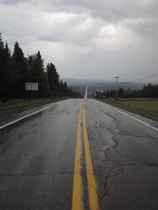
It started raining lightly when I came within sight of the station, but some just ripe blackberries caught my eye and I had to stop and snack on them. I popped the berries slowly and singly into my mouth, licking my fingertips carefully so as not to miss any of their flavor, while the rain drizzled down. Let it soak me, I thought. I had reached the end.
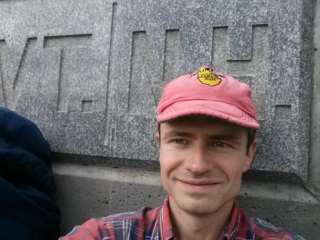
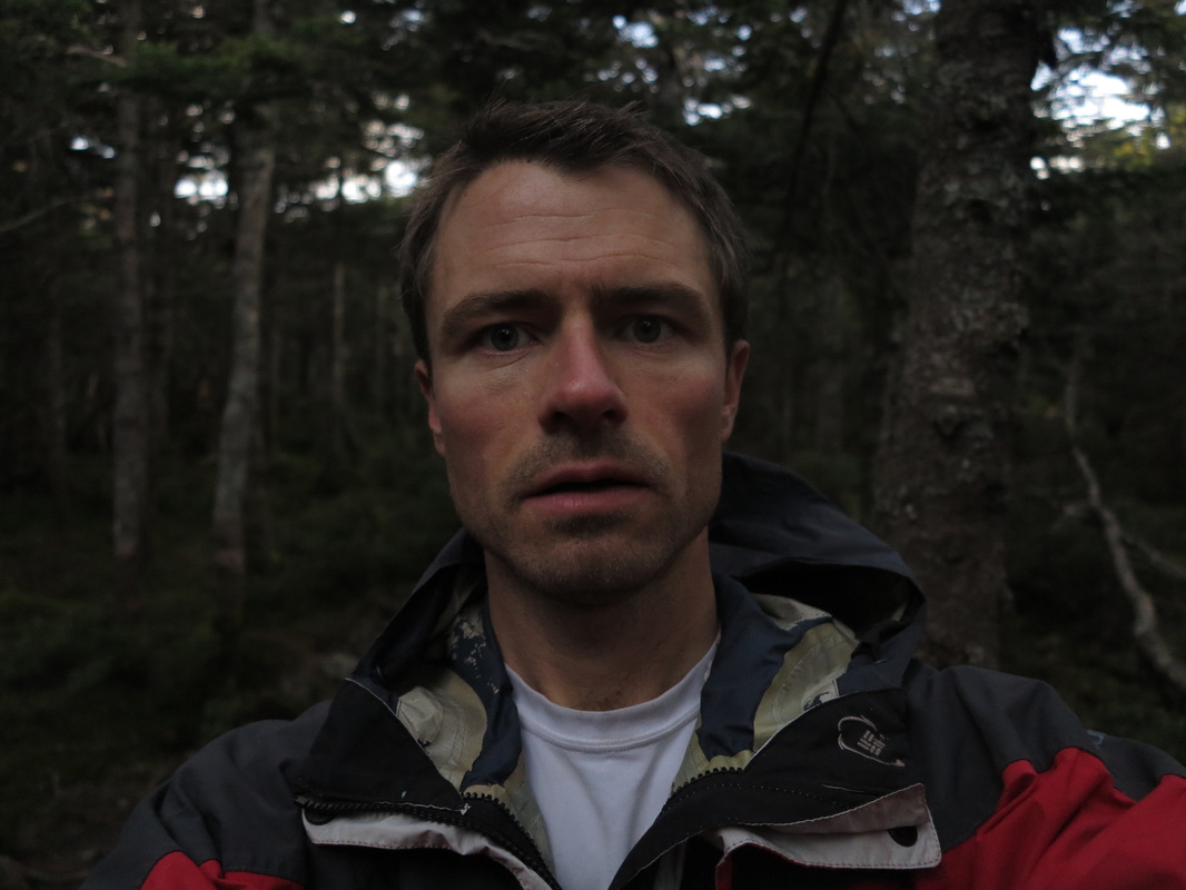
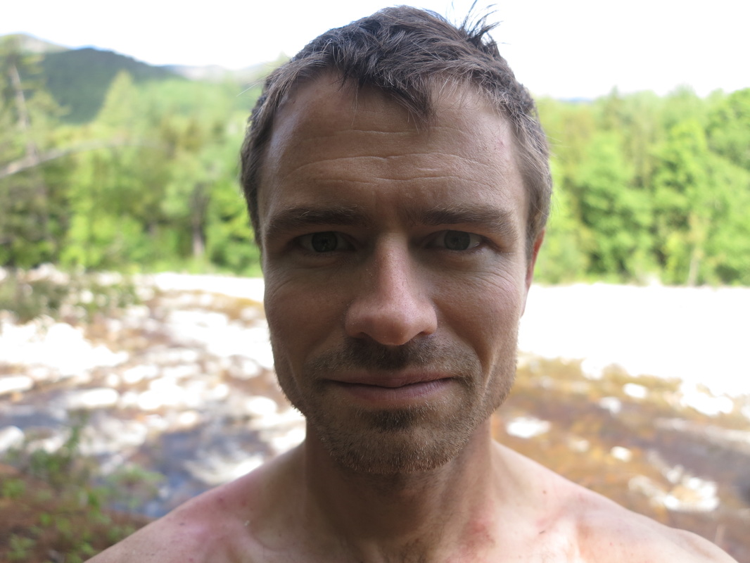
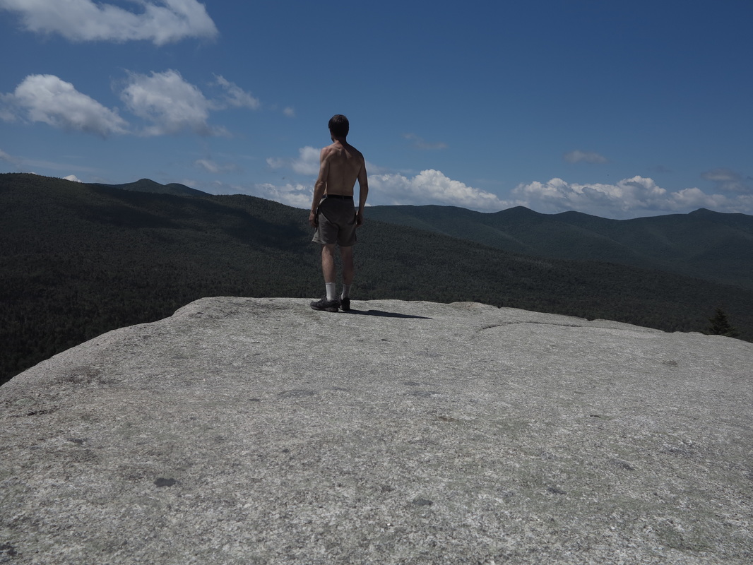
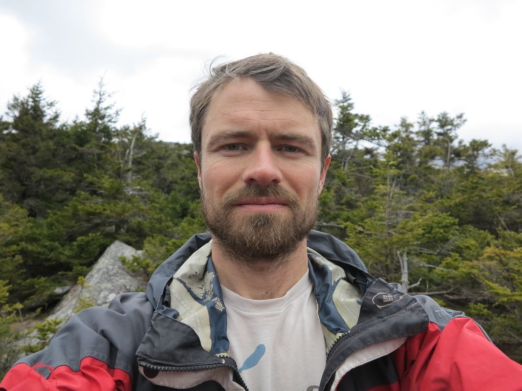
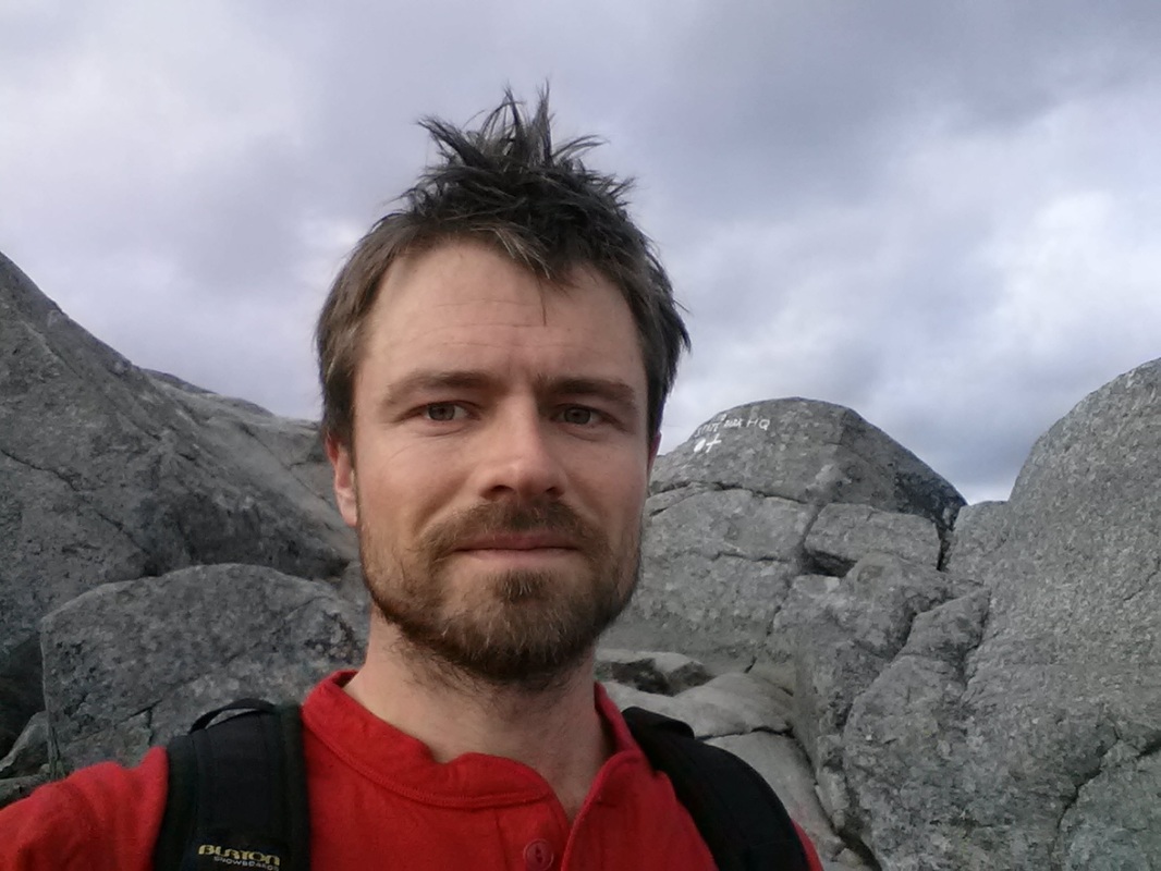
Only when I had finished this important business did I casually walk over to the pedestal where the Maple Leaf flapped loosely in the breeze opposite the Stars and Stripes. I snapped a picture of myself standing astride the height of land. Here, all my life, the bold contours of political reality have been trying to tell me that the waters of my own identity must shed one way or the other, not both.
I’ve never had much use for political identities though. This land belongs to no one, but I belong to it.


 RSS Feed
