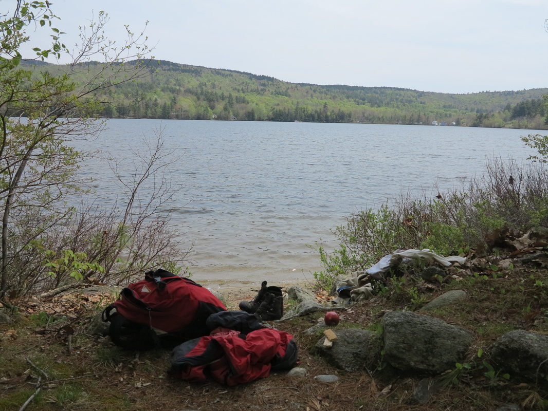
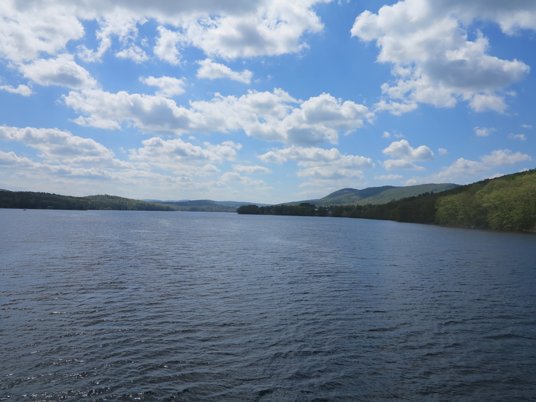
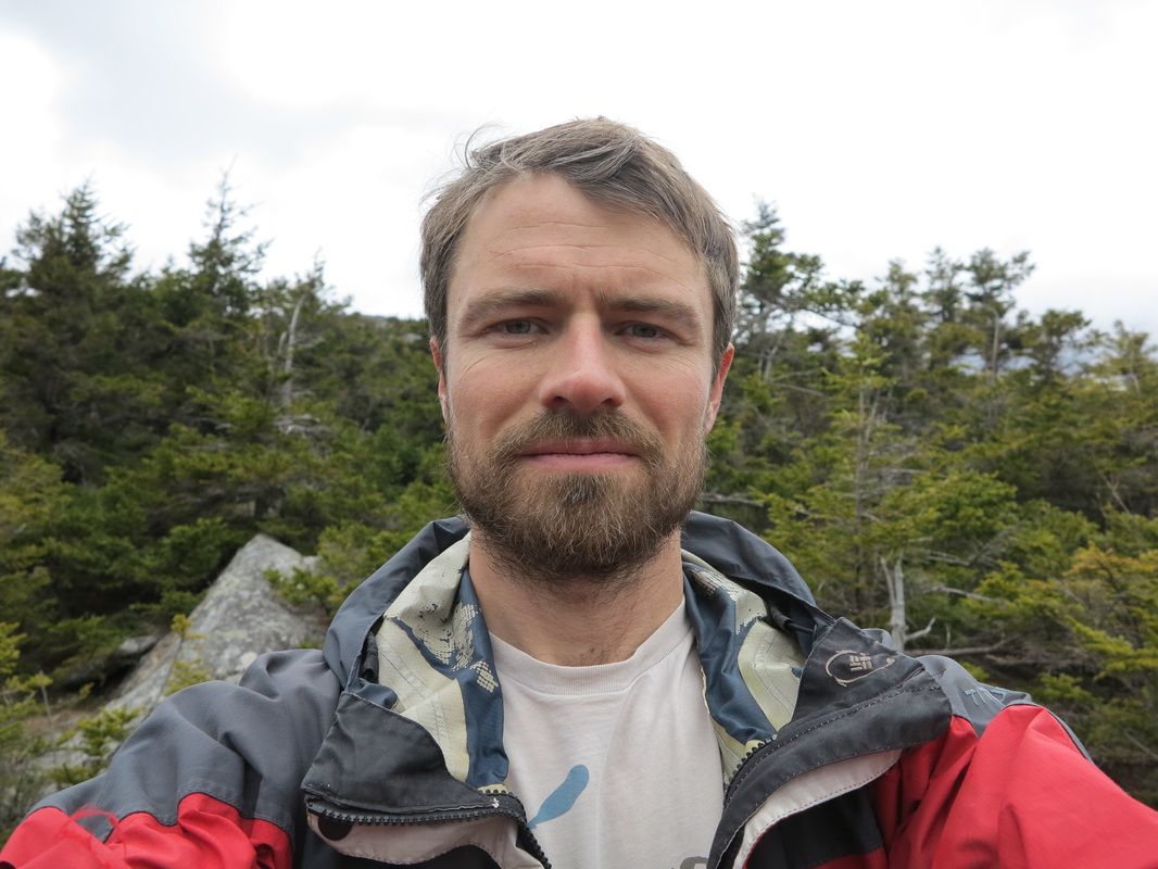
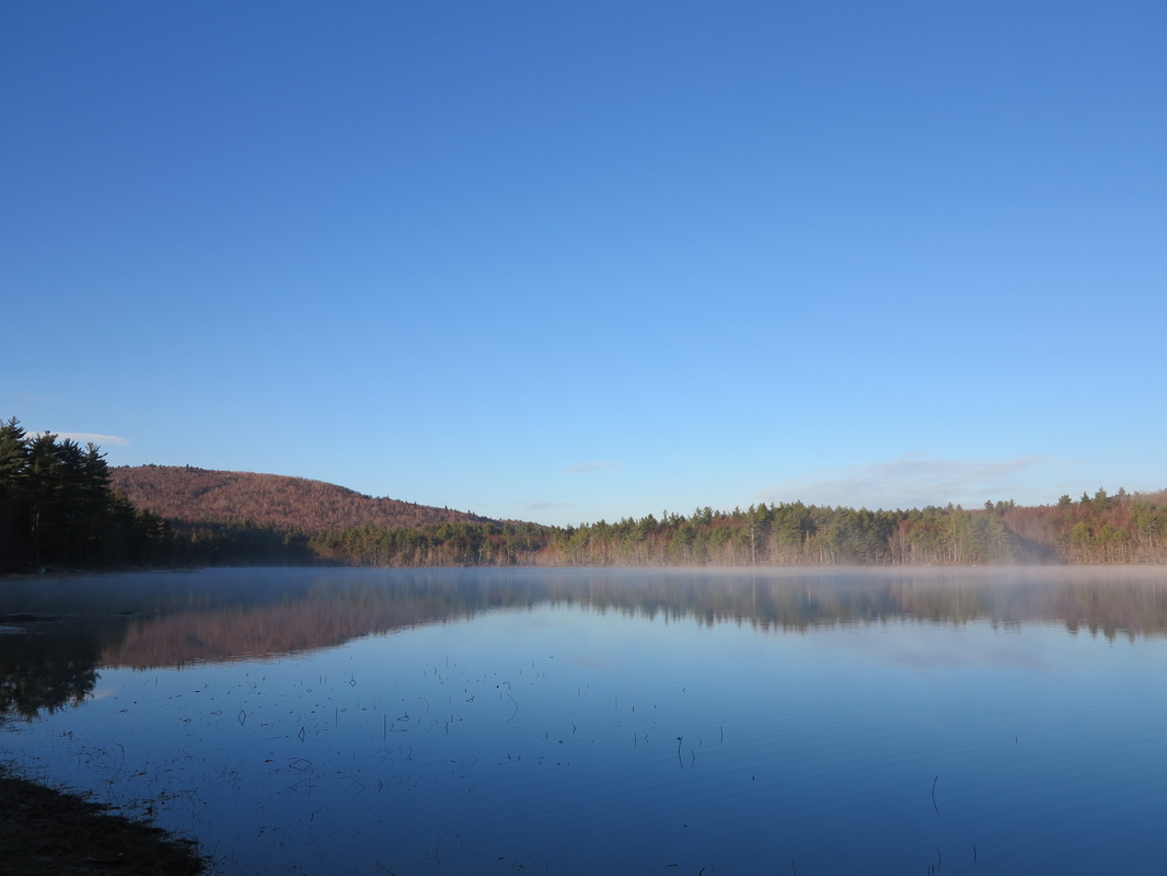
Although I was sleeping on the shore of Lake Sunapee—“Lake of the Wild Goose” to the natives who gave it its name—it was not geese that woke me at five in the morning, but the raucous cawing of crows. I turned over and dozed for ten more minutes, then decided I had best get up; I was sleeping on the beach in a place where I might not have been welcome. But it had been a beautiful spot when I got there late at night, under the bright stars, before the rainclouds moved in and drizzled on my sleeping bag. I didn’t think I’d have visitors any time soon, but you never know; some lake house owner, eager to make the best of his or her New Hampshire weekend, might be up for an early jog with the golden retriever.
I hadn’t planned to sleep on the beach, but in the woods. My aspirations of the night before had been big and bold. Reality (always such a meddler) stepped in, however, and made me cut them down to size.
I had left work and driven to Mount Sunapee to do some scouting and to stash my backpack and camping gear in the woods. From there I planned to drive to Hanover, where the Appalachian Trail enters New Hampshire and where I planned to end this leg of the trip, a distance of about thirty-six miles. Once I got there, I wanted to leave my car and ride my bicycle back to Mount Sunapee in Goshen, sleep until morning, and then start my hike back north to Hanover. I decided to drive north taking a small detour to New London, where I would have a bite to eat and a fresh-brewed beer at the Flying Goose Pub, a favorite haunt of mine.
It was well after dark by the time I was done eating, and probably close to eleven o’clock when I reached Three Mile Road in Etna (an eastern village of upper Hanover), where I planned to leave my car. Pedaling thirty-six miles over hilly terrain and unfamiliar backroads was not high on the list of things I felt like doing. Sleep was. So, once again, I opted to stash my bike here, at the end of my route, and do the dreaded cycling later.
While driving the hour back to Mount Sunapee I hatched the idea of sleeping by the lake. I went first to the spot where I had stashed my camping gear in the woods, put on my headlamp, and wandered around among the trees until I found it. When I got to the lakeshore, I brushed and flossed my teeth at the car (I don’t know why I always feels it’s important to include that detail), did a few quick stretches, thought for a fleeting moment about going for a swim and then decided against it, and finally stretched out my bed roll and sleeping bag on the grass and drifted off, feeling a little giddy as I watched the stars and thought about the morning.
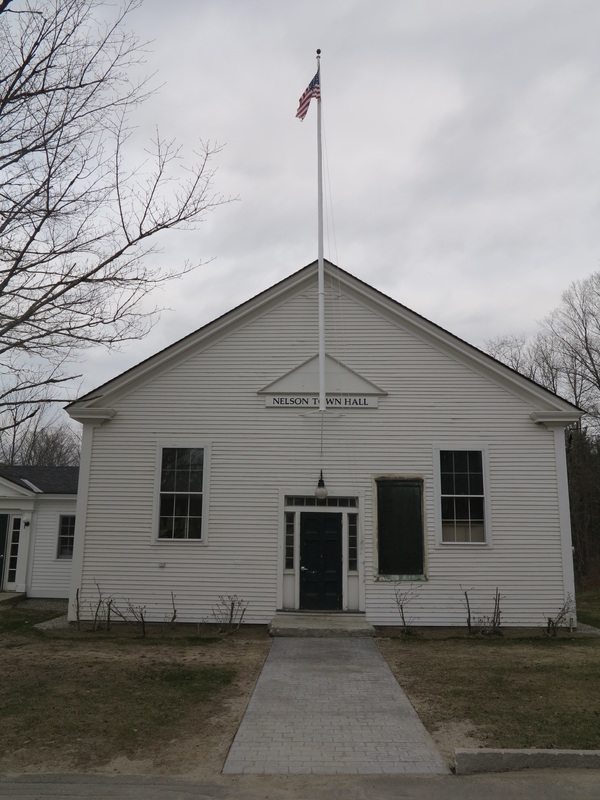
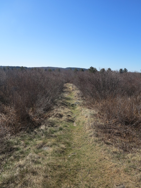
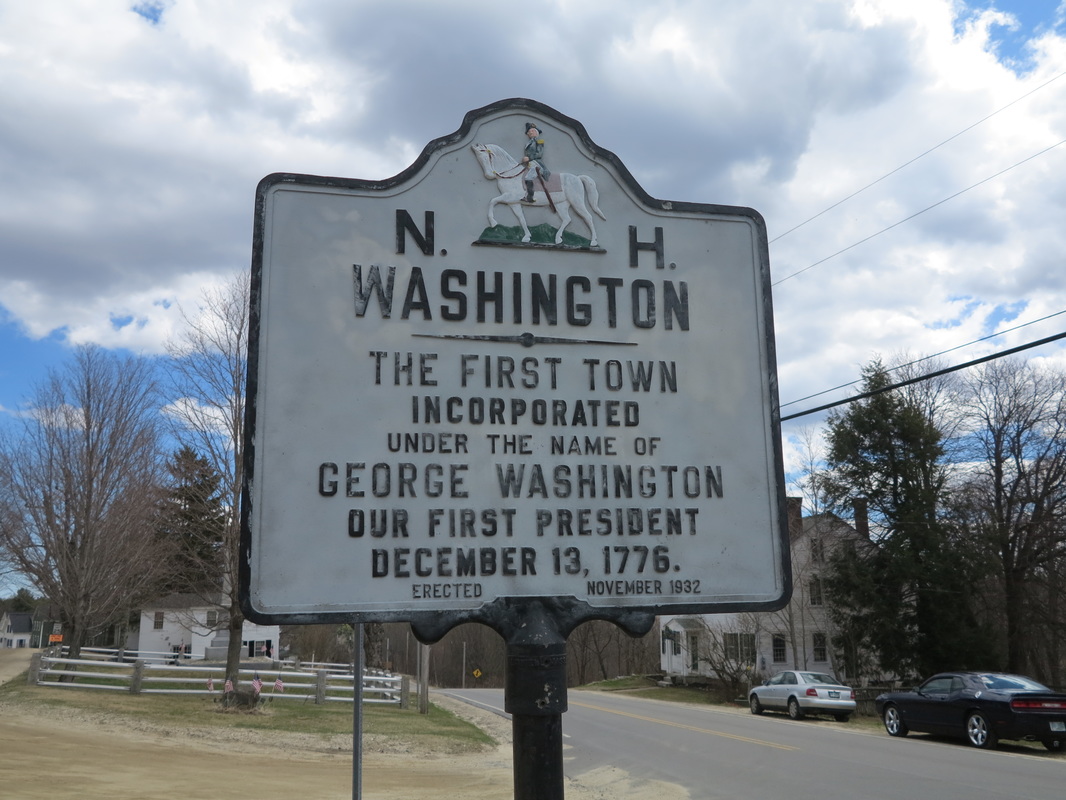
I started hiking from the end of Old Province Road in Goshen, the exact spot where I had ended my Monadnock-Sunapee hike, and also the site of a controversy that is raging now in the Sunapee area. Goshen is home to the west side of Mount Sunapee. Near my starting point is a large tract of private land that has been bought up by the ski resort owners, a Florida-based company called CNL Lifestyle Properties that also owns Okemo in Vermont and Crested Butte in Colorado. The ski area itself is on state-owned land (Sunapee State Park) that the company leases. At present there are no ski trails in the so-called West Bowl of Mount Sunapee, but the resort owners are pushing hard to build new ones in the currently forested area, which would also connect the ski area to the hundreds of acres they do own in Goshen. That land—surprise, surprise!—would become home to slopeside condominiums, which would bring masses of people, cars, and bright lights to this quiet corner of the world. It would also drive up property values and doubtless chip away at the character of yet another small town. New Hampshire is not a big place. We have already allowed too many of our towns to be wrecked by the industry of mass tourism. I hope we don’t let this happen again. Boycott ski resorts!
Before locking up my car and walking off I had a decision to make. It was Saturday, and as I had some chores I wanted to do around the house over the weekend, I had decided that I wanted to devote only one day to hiking this weekend. But could I really make the thirty-five or forty miles I planned to cover in one fell swoop? Feeling vigorous and excited at five-thirty in the morning, and knowing that the days were getting longer, I felt sure I could. This meant a welcome reduction in the size and weight of my pack, because, if I was going to get back to my car by tonight, I could leave my sleeping bag behind. I made a snap decision, which doesn’t come easy to me: I left the bag, started walking, and thought no more of it. Now I had to walk the forty miles and cycle back before going to sleep. I had no choice.
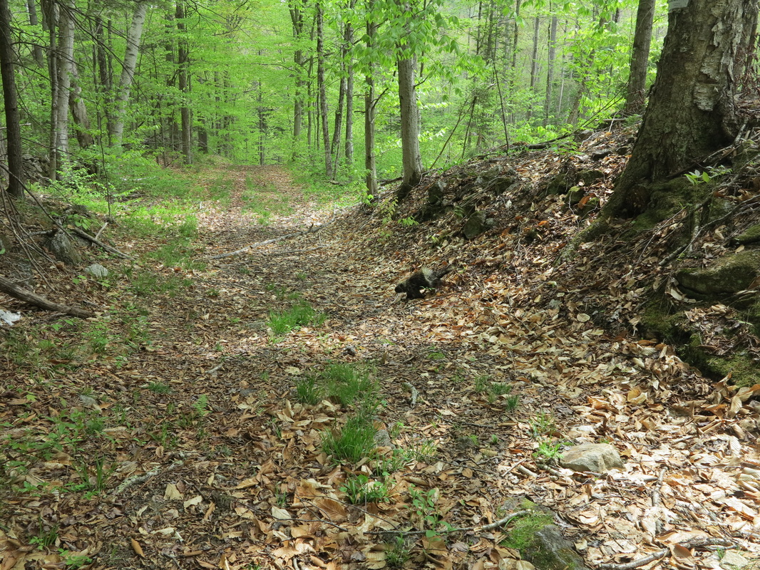
The first mile or two of my day’s walk was along paved roads, but there was virtually no traffic at this hour. Once off the pavement, I would hop on to the Sunapee-Ragged-Kearsarge Greenway (SRKG), a seventy-five mile trail that makes a circuit of the three named peaks, for about the first twenty-two miles of my hike. The rest of the day’s hike would be a hodgepodge that I had loosely assembled a few nights before over the phone with the help of Craig Sanborn, an Enfield resident and avid hiker and trail maintainer in the Cardigan-Sunapee area. The route agreed with my objective of seeing all kinds of places and not just picture-perfect hiking trails. It even included a several-mile bushwhack through the hilliest section of the day.
I hadn’t planned to sleep on the beach, but in the woods. My aspirations of the night before had been big and bold. Reality (always such a meddler) stepped in, however, and made me cut them down to size.
I had left work and driven to Mount Sunapee to do some scouting and to stash my backpack and camping gear in the woods. From there I planned to drive to Hanover, where the Appalachian Trail enters New Hampshire and where I planned to end this leg of the trip, a distance of about thirty-six miles. Once I got there, I wanted to leave my car and ride my bicycle back to Mount Sunapee in Goshen, sleep until morning, and then start my hike back north to Hanover. I decided to drive north taking a small detour to New London, where I would have a bite to eat and a fresh-brewed beer at the Flying Goose Pub, a favorite haunt of mine.
It was well after dark by the time I was done eating, and probably close to eleven o’clock when I reached Three Mile Road in Etna (an eastern village of upper Hanover), where I planned to leave my car. Pedaling thirty-six miles over hilly terrain and unfamiliar backroads was not high on the list of things I felt like doing. Sleep was. So, once again, I opted to stash my bike here, at the end of my route, and do the dreaded cycling later.
While driving the hour back to Mount Sunapee I hatched the idea of sleeping by the lake. I went first to the spot where I had stashed my camping gear in the woods, put on my headlamp, and wandered around among the trees until I found it. When I got to the lakeshore, I brushed and flossed my teeth at the car (I don’t know why I always feels it’s important to include that detail), did a few quick stretches, thought for a fleeting moment about going for a swim and then decided against it, and finally stretched out my bed roll and sleeping bag on the grass and drifted off, feeling a little giddy as I watched the stars and thought about the morning.
I started hiking from the end of Old Province Road in Goshen, the exact spot where I had ended my Monadnock-Sunapee hike, and also the site of a controversy that is raging now in the Sunapee area. Goshen is home to the west side of Mount Sunapee. Near my starting point is a large tract of private land that has been bought up by the ski resort owners, a Florida-based company called CNL Lifestyle Properties that also owns Okemo in Vermont and Crested Butte in Colorado. The ski area itself is on state-owned land (Sunapee State Park) that the company leases. At present there are no ski trails in the so-called West Bowl of Mount Sunapee, but the resort owners are pushing hard to build new ones in the currently forested area, which would also connect the ski area to the hundreds of acres they do own in Goshen. That land—surprise, surprise!—would become home to slopeside condominiums, which would bring masses of people, cars, and bright lights to this quiet corner of the world. It would also drive up property values and doubtless chip away at the character of yet another small town. New Hampshire is not a big place. We have already allowed too many of our towns to be wrecked by the industry of mass tourism. I hope we don’t let this happen again. Boycott ski resorts!
Before locking up my car and walking off I had a decision to make. It was Saturday, and as I had some chores I wanted to do around the house over the weekend, I had decided that I wanted to devote only one day to hiking this weekend. But could I really make the thirty-five or forty miles I planned to cover in one fell swoop? Feeling vigorous and excited at five-thirty in the morning, and knowing that the days were getting longer, I felt sure I could. This meant a welcome reduction in the size and weight of my pack, because, if I was going to get back to my car by tonight, I could leave my sleeping bag behind. I made a snap decision, which doesn’t come easy to me: I left the bag, started walking, and thought no more of it. Now I had to walk the forty miles and cycle back before going to sleep. I had no choice.
The first mile or two of my day’s walk was along paved roads, but there was virtually no traffic at this hour. Once off the pavement, I would hop on to the Sunapee-Ragged-Kearsarge Greenway (SRKG), a seventy-five mile trail that makes a circuit of the three named peaks, for about the first twenty-two miles of my hike. The rest of the day’s hike would be a hodgepodge that I had loosely assembled a few nights before over the phone with the help of Craig Sanborn, an Enfield resident and avid hiker and trail maintainer in the Cardigan-Sunapee area. The route agreed with my objective of seeing all kinds of places and not just picture-perfect hiking trails. It even included a several-mile bushwhack through the hilliest section of the day.
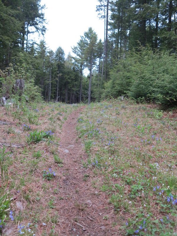
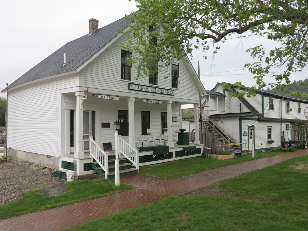
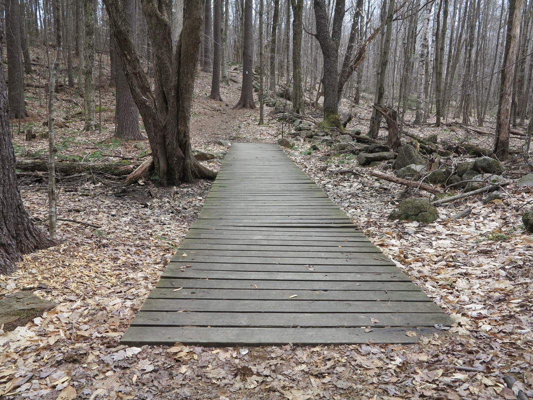
But for now I turned into the woods on a rather civilized-looking footpath (part of the SRKG) that traversed a tract of the genteel-sounding Ausbon Sargent Land Preservation Trust. The path wove through the woods like a snake, certainly not the most direct route, but an enjoyable one, and after a couple of hours I popped out of the woods at the edge of the village of Sunapee Harbor. Walking into town on a steamy asphalt road, I passed a house with a little shingle out front advertising The Frugal Yankee Coffin Company with a little painting of an austere pine coffin. It made me say “I love New Hampshire” out loud.
I hadn’t eaten yet, so I slipped into the only place by the harbor that was open. It was a shop for tourists with a little café that made breakfast. When I entered, the two women working there eyed me suspiciously. My shirt was probably slightly tattered and my hair ruffled from the night on the beach. Or maybe it was the backpack. I ordered sausage, eggs, and toast, poured myself a cup of coffee, and took a seat at a little table near two men who were wearing the kinds of clothes people from the city wear when they come to the country, talking about business. They seemed to be enjoying their time at the lake, and that compensated for the meanness of the women at the counter.
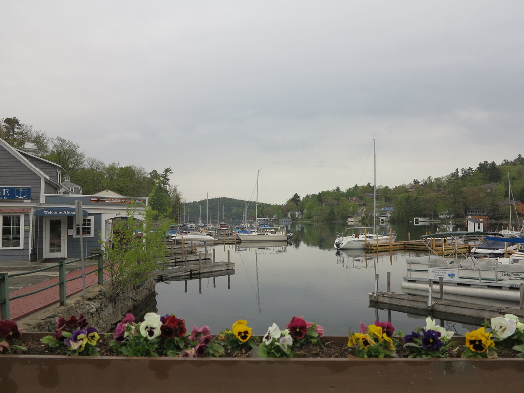
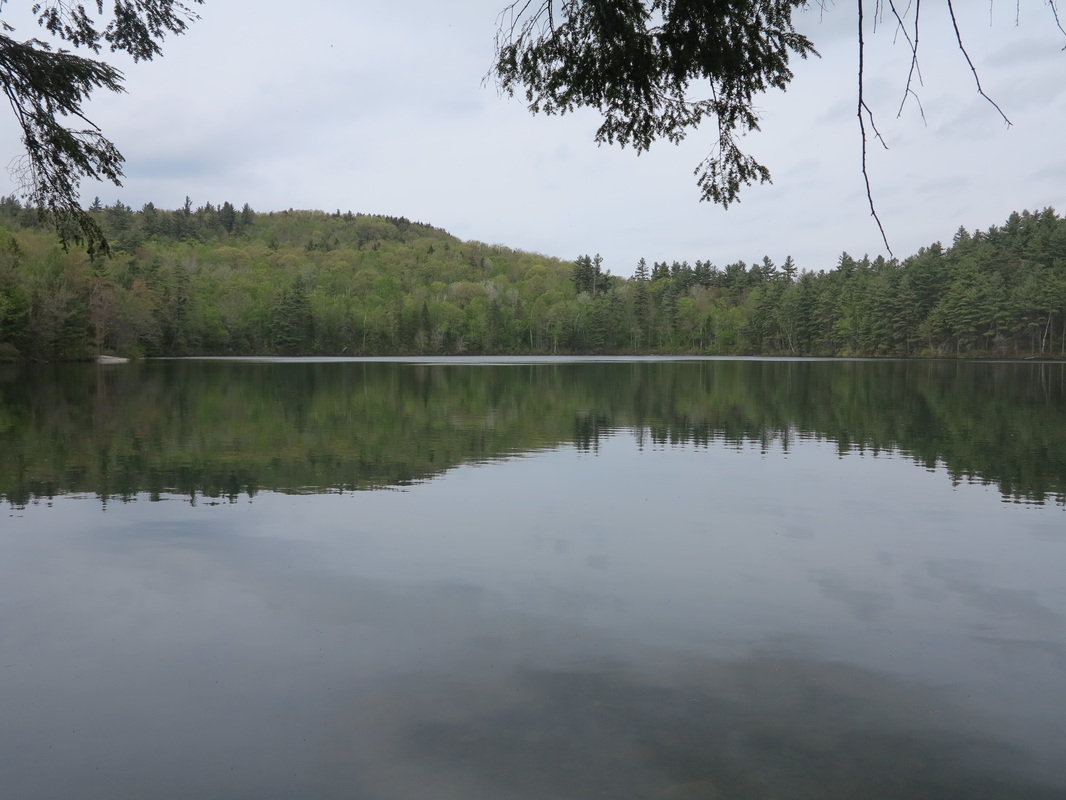
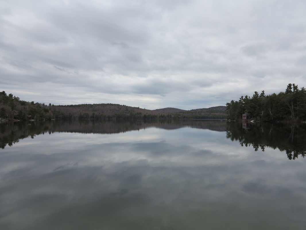
Back outside I walked down by the harbor to have a look around. From a sign put up by the tourism board I learned that Sunapee is among the highest of New Hampshire’s major lakes. In the morning mist (it was a little after eight now) I could almost imagine the cottages away, and with the spruce trees along the edge of the lake, it did take on a slightly alpine feel. I tried to picture the lake before the cottages came, before the great resort hotels that once dotted its shores and were connected by steam-powered ferries that even necessitated lighthouses to keep them away from the lake’s rocky islands. (It is curious that of New Hampshire’s five lighthouses, three are on Lake Sunapee and only two on the seacoast.) I tried in my mind to evoke the Penacook, the native Abenaki dwellers of southern New Hampshire, paddling their canoes on these “wild goose waters,” fishing for trout, hunting geese, contemplating the spruce trees in the fog.
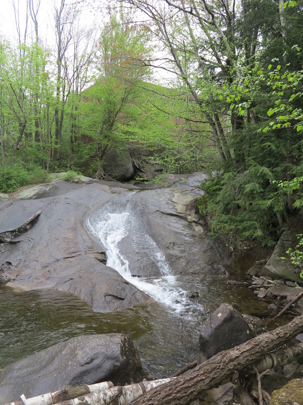
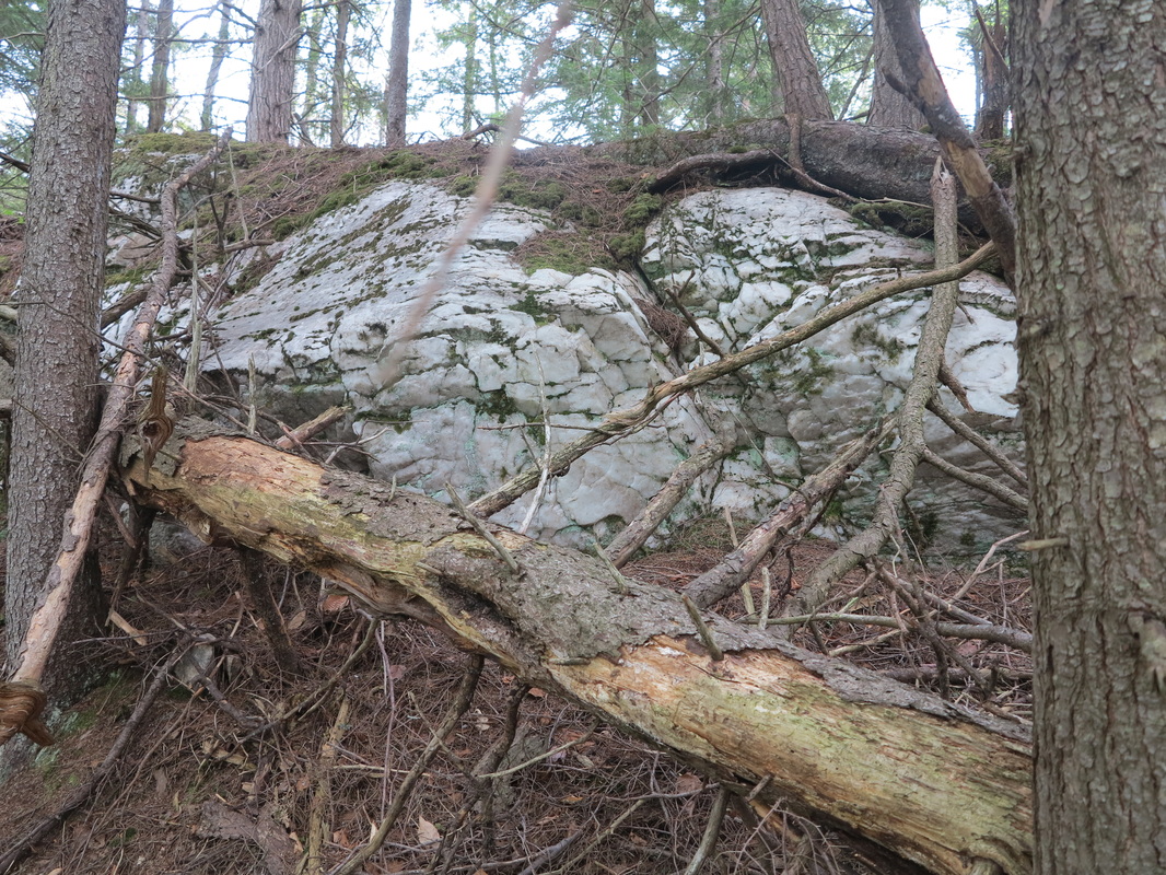
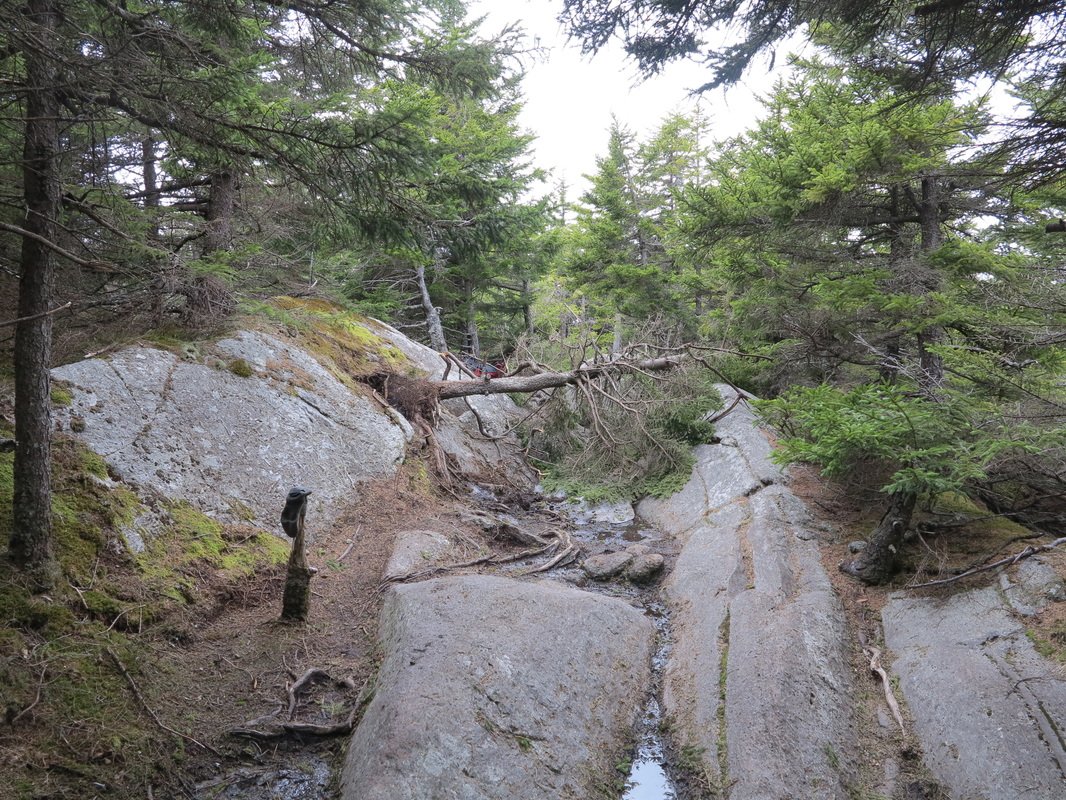
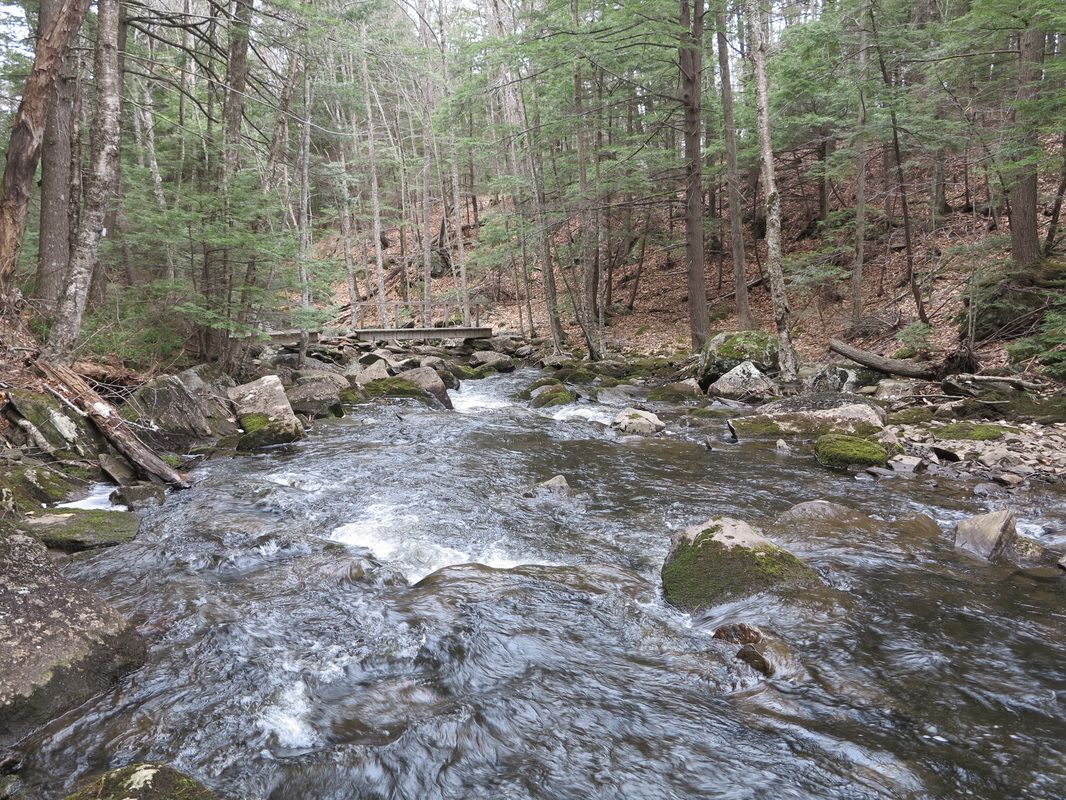
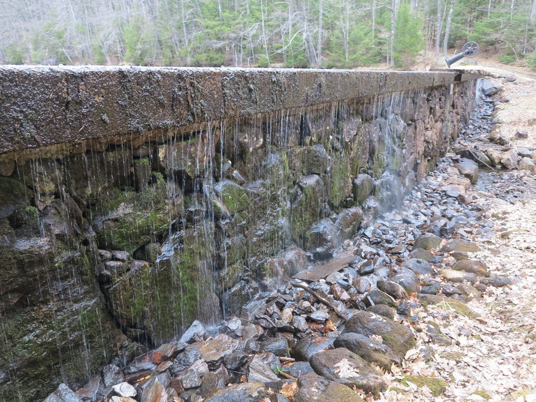
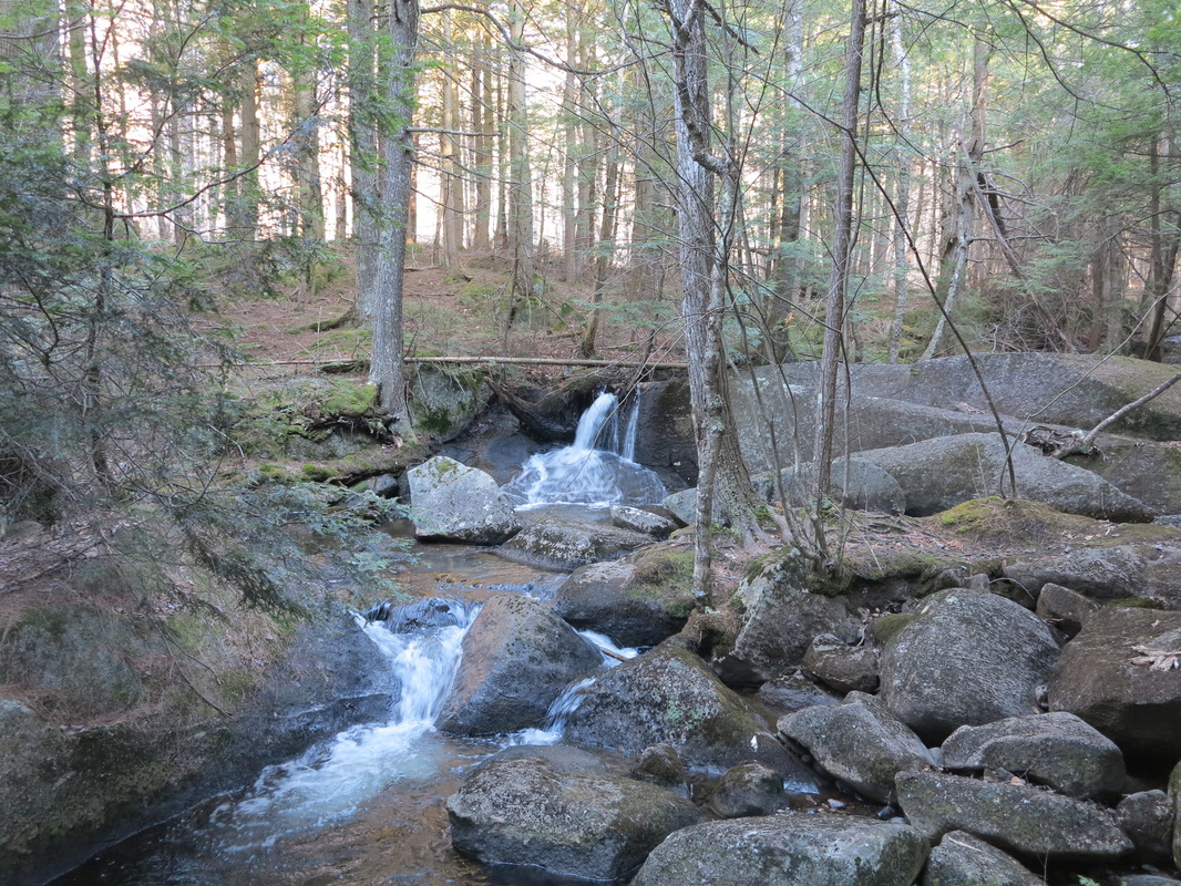
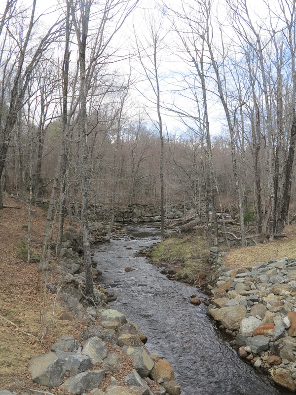
Following the headwaters of the Sugar River toward the lower reaches of town and the continuation of my trail, I stumbled upon a hidden waterfall that ran like glass down a slab of granite. At the bottom was a pool big enough to take a dip in, but the morning air was still too chilly for that. It seemed like a good place for a picnic, and I promised myself I would come back and have one here someday.
I hadn’t eaten yet, so I slipped into the only place by the harbor that was open. It was a shop for tourists with a little café that made breakfast. When I entered, the two women working there eyed me suspiciously. My shirt was probably slightly tattered and my hair ruffled from the night on the beach. Or maybe it was the backpack. I ordered sausage, eggs, and toast, poured myself a cup of coffee, and took a seat at a little table near two men who were wearing the kinds of clothes people from the city wear when they come to the country, talking about business. They seemed to be enjoying their time at the lake, and that compensated for the meanness of the women at the counter.
Back outside I walked down by the harbor to have a look around. From a sign put up by the tourism board I learned that Sunapee is among the highest of New Hampshire’s major lakes. In the morning mist (it was a little after eight now) I could almost imagine the cottages away, and with the spruce trees along the edge of the lake, it did take on a slightly alpine feel. I tried to picture the lake before the cottages came, before the great resort hotels that once dotted its shores and were connected by steam-powered ferries that even necessitated lighthouses to keep them away from the lake’s rocky islands. (It is curious that of New Hampshire’s five lighthouses, three are on Lake Sunapee and only two on the seacoast.) I tried in my mind to evoke the Penacook, the native Abenaki dwellers of southern New Hampshire, paddling their canoes on these “wild goose waters,” fishing for trout, hunting geese, contemplating the spruce trees in the fog.
Following the headwaters of the Sugar River toward the lower reaches of town and the continuation of my trail, I stumbled upon a hidden waterfall that ran like glass down a slab of granite. At the bottom was a pool big enough to take a dip in, but the morning air was still too chilly for that. It seemed like a good place for a picnic, and I promised myself I would come back and have one here someday.
Beyond the village, I followed a confusing trail that took me along the edges of school sports fields and residential backyards before dipping down a wooden stairway into deeper woods. I crossed paved roads and woods roads and eventually realized I had not seen a painted blaze in an hour. I didn’t care, as long as I was moving north; I knew the lay of the land and was pretty sure I would eventually hit the official trail again. When I saw a blaze at the head of a disused woods road, I felt vindicated in my confidence.
I took a shortcut whose existence I had surmised during my scouting mission the day before. It saved me several miles and spat me out right at a passage under Interstate 89, one of two interstate highways I would have to cross on my walk up the state. A few cars whined overhead as I went through the cool, dark underpass. On the concrete wall someone had painted “Drop acid not bombs!,” and a puritan passerby, who just so happened to have a can of spray paint along, had stopped to emend it to “Drop NEITHER acid NOR bombs!”
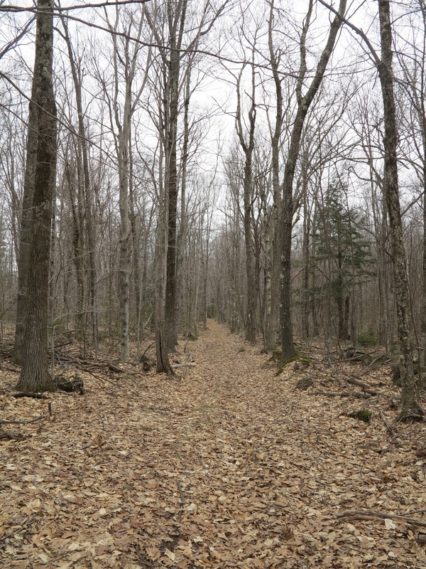
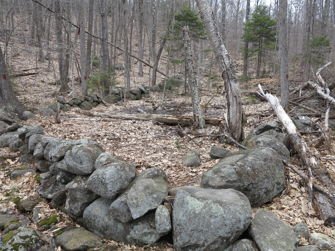
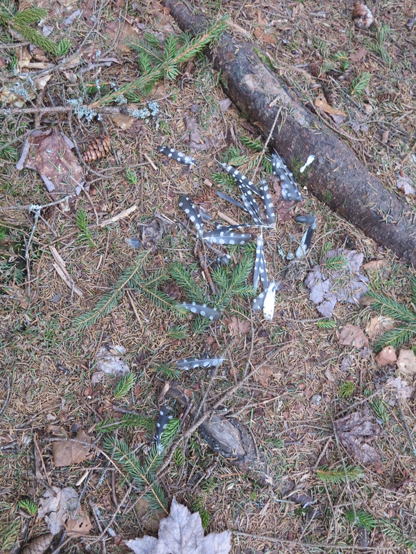
A quiet dirt road, flanked by another piece of the Ausbon Sargent Trust’s land, led from Georges Mills toward Springfield. It gave way to another woods road, where I met a porcupine out for a walk. He didn’t seem afraid of me until I got very close, when he casually made his way up a tree. I couldn’t help but stop and watch him for a while, but when I saw what to me looked like fear in his eyes, I moved on. I thought of my colleague Travis at the maple farm who is constantly shooting porcupines, purportedly because they chew the collection lines up, but equally because he simply enjoys shooting animals. “Don’t worry,” I called back to the porcupine. “I won’t tell Travis where you live.”
I took a shortcut whose existence I had surmised during my scouting mission the day before. It saved me several miles and spat me out right at a passage under Interstate 89, one of two interstate highways I would have to cross on my walk up the state. A few cars whined overhead as I went through the cool, dark underpass. On the concrete wall someone had painted “Drop acid not bombs!,” and a puritan passerby, who just so happened to have a can of spray paint along, had stopped to emend it to “Drop NEITHER acid NOR bombs!”
A quiet dirt road, flanked by another piece of the Ausbon Sargent Trust’s land, led from Georges Mills toward Springfield. It gave way to another woods road, where I met a porcupine out for a walk. He didn’t seem afraid of me until I got very close, when he casually made his way up a tree. I couldn’t help but stop and watch him for a while, but when I saw what to me looked like fear in his eyes, I moved on. I thought of my colleague Travis at the maple farm who is constantly shooting porcupines, purportedly because they chew the collection lines up, but equally because he simply enjoys shooting animals. “Don’t worry,” I called back to the porcupine. “I won’t tell Travis where you live.”
I left the SRK trail when I reached the Springfield-New London Road (also known as Route 114). This was the beginning of several miles of walking along asphalt. It brought me to Kolelemook Pond, where people with cars bearing out-of-state license plates were doing spring cleaning in their camps and lake houses. I stopped at the public beach to cool off with a swim, and to rest and have a bite to eat.
The walk along the hard paved road was punishing on my legs, but it was nice to see the small farms and smell their scents, and to see people out enjoying the day.
But on high ground near McDaniels Marsh in Springfield I caught a glimpse through the trees of the unmistakable east face of Croydon Mountain, and felt resentment. Its summit, Croydon Peak, is the highest point in Sullivan County, but the citizens of that county (or any other) cannot go there, or anywhere else in the surrounding 26,000 acres, an area more than twice the size of the town I live in.
This immense tract of land was bought up in the late nineteenth century by a locally born railroad magnate and land speculator named Austin Corbin II and made into a private hunting reserve. In fairness, it should be said that in Corbin’s day, the land remained open to the public, in keeping with the best New Hampshire tradition; but at some time in the early twentieth century the thirty-six-mile-long fence that served to contain the exotic species brought there to be hunted (caribou, reindeer, boar, elk, bighorn sheep, Himalayan goats, American bison) took on a second function—keeping non-members out (today, membership in the Blue Mountain Forest Association club is by share only, and internet rumors claim membership costs between $300,000 and $1,000,000, in addition to an annual fee measured in tens of thousands of dollars).
When planning my hike up the length of New Hampshire, I was quite tempted to try to sneak on to the park’s land to traverse the inviting ridge, which teases and confuses many a hiker as he or she drives north on I-89 wondering, “What mountain is that and how do I get up there?” But a little research was enough to change my mind. The enclosure today is sealed off by two twelve-foot-high fences that reach three feet underground (since boars have been known to dig their way out) and crawling with trigger-happy members whose scruples the public has good reason to doubt; the club is notoriously secretive about its membership and activities (so that much of the information available is necessarily hearsay), but what is known for certain is that in 2004 one member shot another member, apparently by accident but with no appreciable sign of remorse, and got off scot-free, despite a documented history of aggression and unethical conduct as a police officer.
I like the spirit of this anonymous poem preserved in the town of Croydon’s archives (and quoted in the Fall 2011 issue of Eastman Living magazine):
Austin Corbin, grasping soul,
wants this land from pole to pole.
Croydon people, bless your stars,
you'll find plenty of land on Mars.
At McDaniels Marsh, a tranquil expanse of water, I turned left on to a little-traveled back road. Balsam shoots, bright green and tender, stuck out over the road, offering themselves to me as a pungent snack. I ate them as I sped along the dirt road.
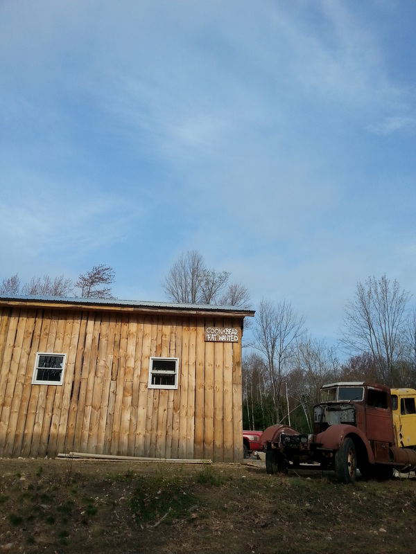
Soon I was following the edge of the Enfield Wildlife Management Area, where on my drive south the night before I had seen all kinds of animals scuttling in front of my headlights. Unlike in Corbin’s park, these animals are not fenced in, they are native, and you don’t have to pay to walk here. I saw no one but a man in mechanic’s clothes sitting on the tailgate of his pickup in front of his trailer home, intently tinkering with a pile of chainsaws. He looked at me and nodded.
But on high ground near McDaniels Marsh in Springfield I caught a glimpse through the trees of the unmistakable east face of Croydon Mountain, and felt resentment. Its summit, Croydon Peak, is the highest point in Sullivan County, but the citizens of that county (or any other) cannot go there, or anywhere else in the surrounding 26,000 acres, an area more than twice the size of the town I live in.
This immense tract of land was bought up in the late nineteenth century by a locally born railroad magnate and land speculator named Austin Corbin II and made into a private hunting reserve. In fairness, it should be said that in Corbin’s day, the land remained open to the public, in keeping with the best New Hampshire tradition; but at some time in the early twentieth century the thirty-six-mile-long fence that served to contain the exotic species brought there to be hunted (caribou, reindeer, boar, elk, bighorn sheep, Himalayan goats, American bison) took on a second function—keeping non-members out (today, membership in the Blue Mountain Forest Association club is by share only, and internet rumors claim membership costs between $300,000 and $1,000,000, in addition to an annual fee measured in tens of thousands of dollars).
When planning my hike up the length of New Hampshire, I was quite tempted to try to sneak on to the park’s land to traverse the inviting ridge, which teases and confuses many a hiker as he or she drives north on I-89 wondering, “What mountain is that and how do I get up there?” But a little research was enough to change my mind. The enclosure today is sealed off by two twelve-foot-high fences that reach three feet underground (since boars have been known to dig their way out) and crawling with trigger-happy members whose scruples the public has good reason to doubt; the club is notoriously secretive about its membership and activities (so that much of the information available is necessarily hearsay), but what is known for certain is that in 2004 one member shot another member, apparently by accident but with no appreciable sign of remorse, and got off scot-free, despite a documented history of aggression and unethical conduct as a police officer.
I like the spirit of this anonymous poem preserved in the town of Croydon’s archives (and quoted in the Fall 2011 issue of Eastman Living magazine):
Austin Corbin, grasping soul,
wants this land from pole to pole.
Croydon people, bless your stars,
you'll find plenty of land on Mars.
At McDaniels Marsh, a tranquil expanse of water, I turned left on to a little-traveled back road. Balsam shoots, bright green and tender, stuck out over the road, offering themselves to me as a pungent snack. I ate them as I sped along the dirt road.
Soon I was following the edge of the Enfield Wildlife Management Area, where on my drive south the night before I had seen all kinds of animals scuttling in front of my headlights. Unlike in Corbin’s park, these animals are not fenced in, they are native, and you don’t have to pay to walk here. I saw no one but a man in mechanic’s clothes sitting on the tailgate of his pickup in front of his trailer home, intently tinkering with a pile of chainsaws. He looked at me and nodded.
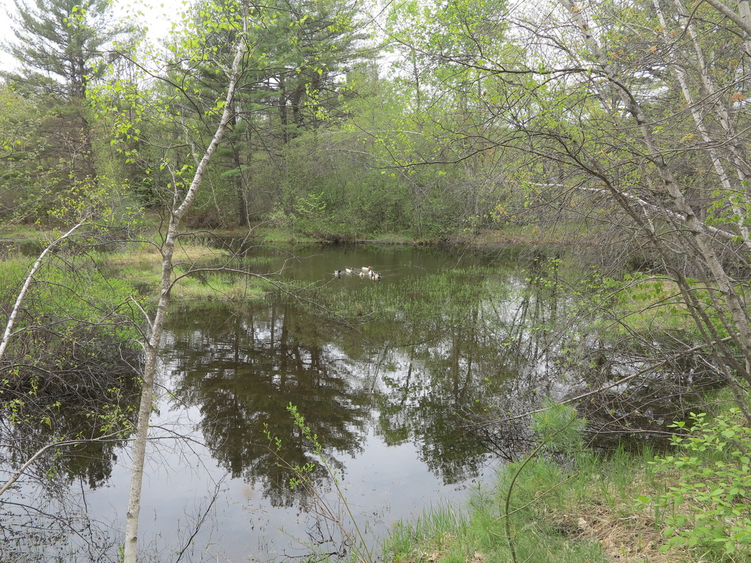
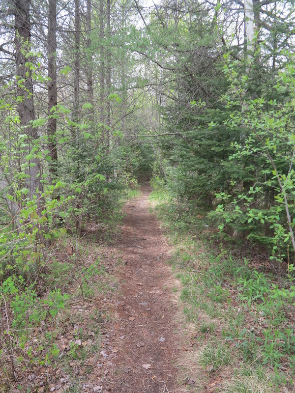
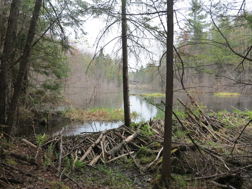
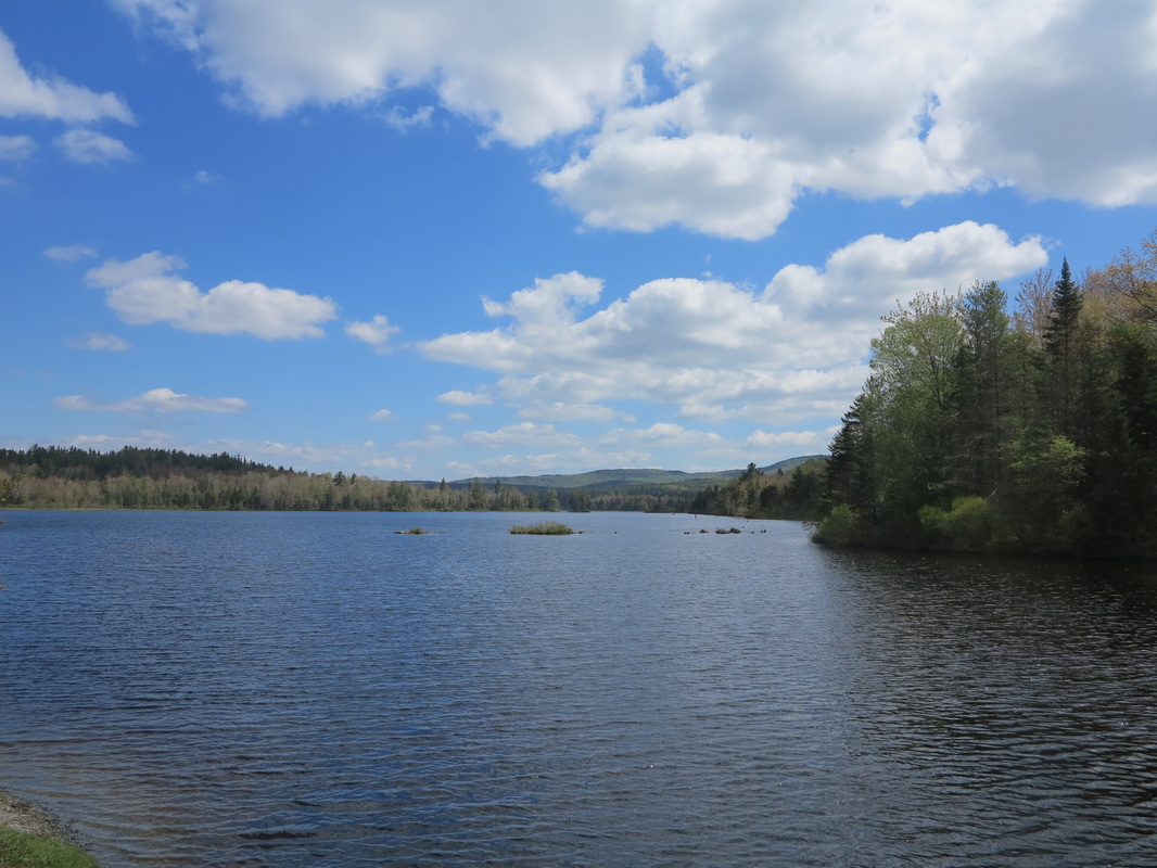
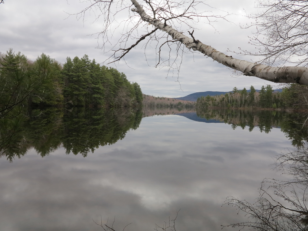
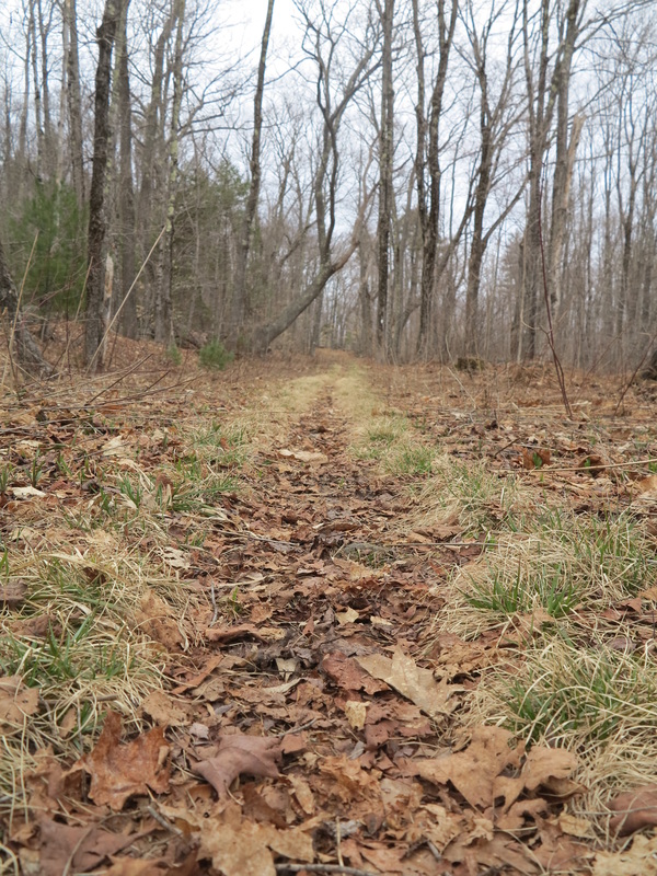
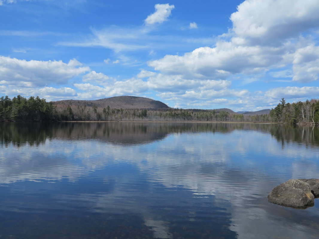
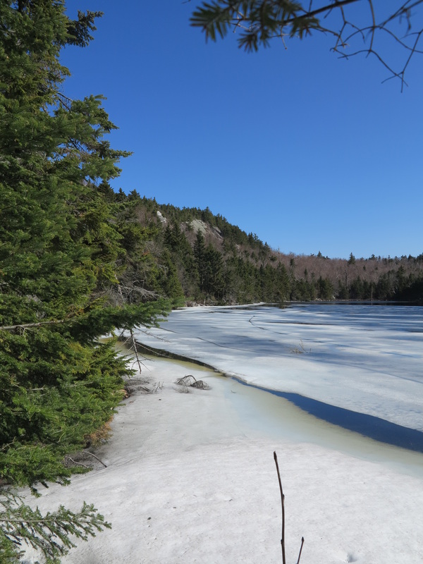
This stretch of walking on roads was getting long though, longer than I liked, and soon I stepped into a narrow trace that wound into the woods and gently uphill for about a mile before coming to Cole Pond, felicitously inaccessible by motor vehicle. When I got there I found I had the whole place to myself. On the far side I spotted a rope swing, which under different circumstances would have enticed me to find a way around, but my route was going to take me along the opposite side. I sat down on a flat rock at the pond’s edge for a few minutes to admire the scene and to put some moleskins on my blistering feet. Then I took out my compass and sighted a rough bearing to the northwest. I was hoping to reach Smith Pond, at the far end of the little chain of hills I was now on, but there was no trail, so I would have to bushwhack the several miles.
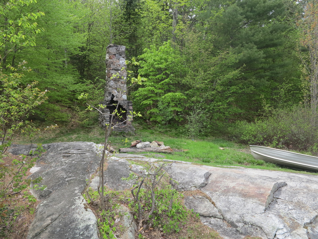
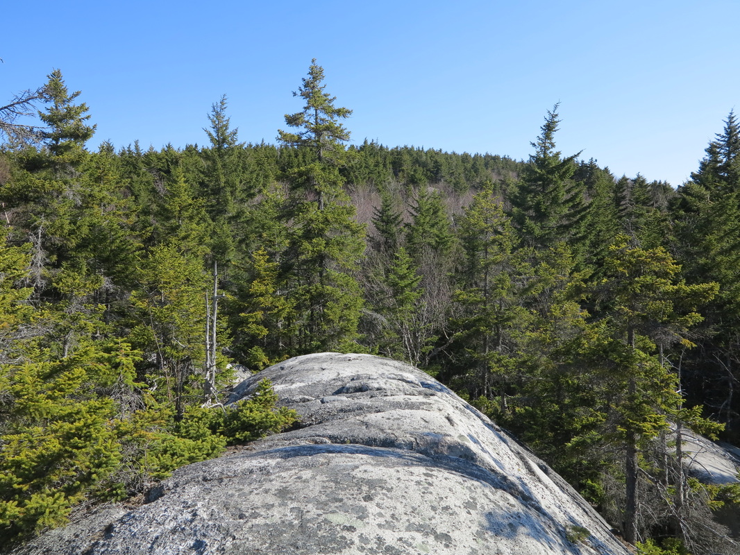
I set out along the southern edge of the pond, passing a chimney where a cabin had once stood and a canoe that had been left for the use of fishermen. Then I plunged into the woods and began a steep ascent toward the northwest. After a few minutes of brisk climbing I began to see sky through the canopy and hoped I was coming to a well-defined ridge. Although the ridge was forested, I recognized it when I got there: a slight breeze tickled my skin, and blowdowns crosshatched a corridor that ran off to the northwest. What’s more, a wandering moose (or several of them) had trod and even brushed a rough trail for me with its browsing. Its abundant droppings were like so many cairns to mark my way. The moose path came and went, but with the help of the breeze, the peripheral light through the trees, and glimpses of the westering sun, I was able to stay on course.
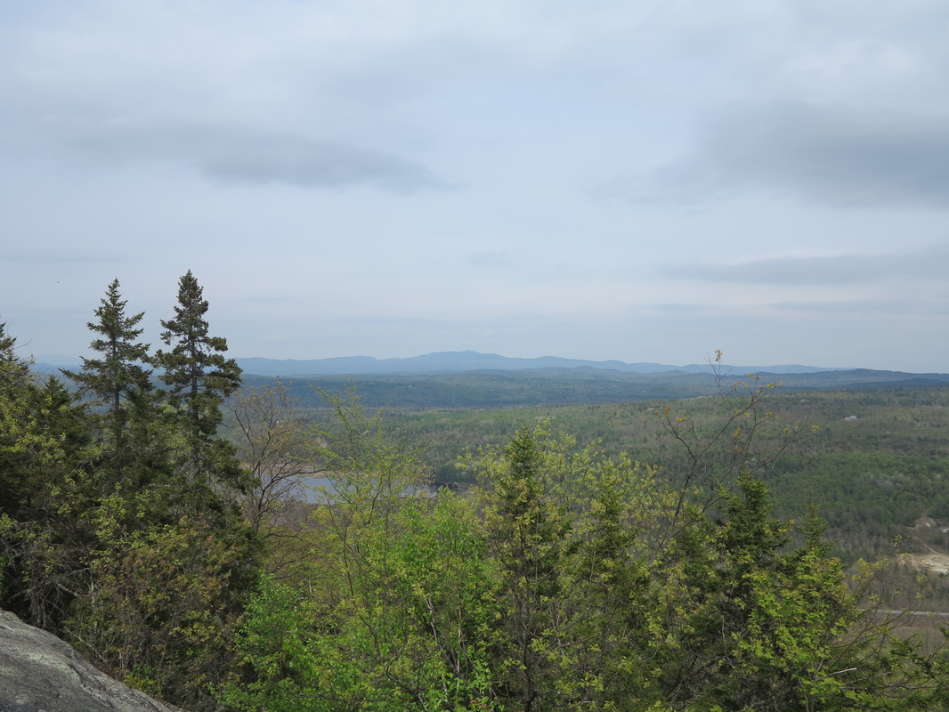
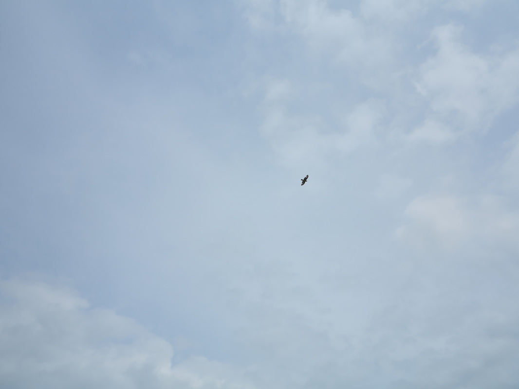
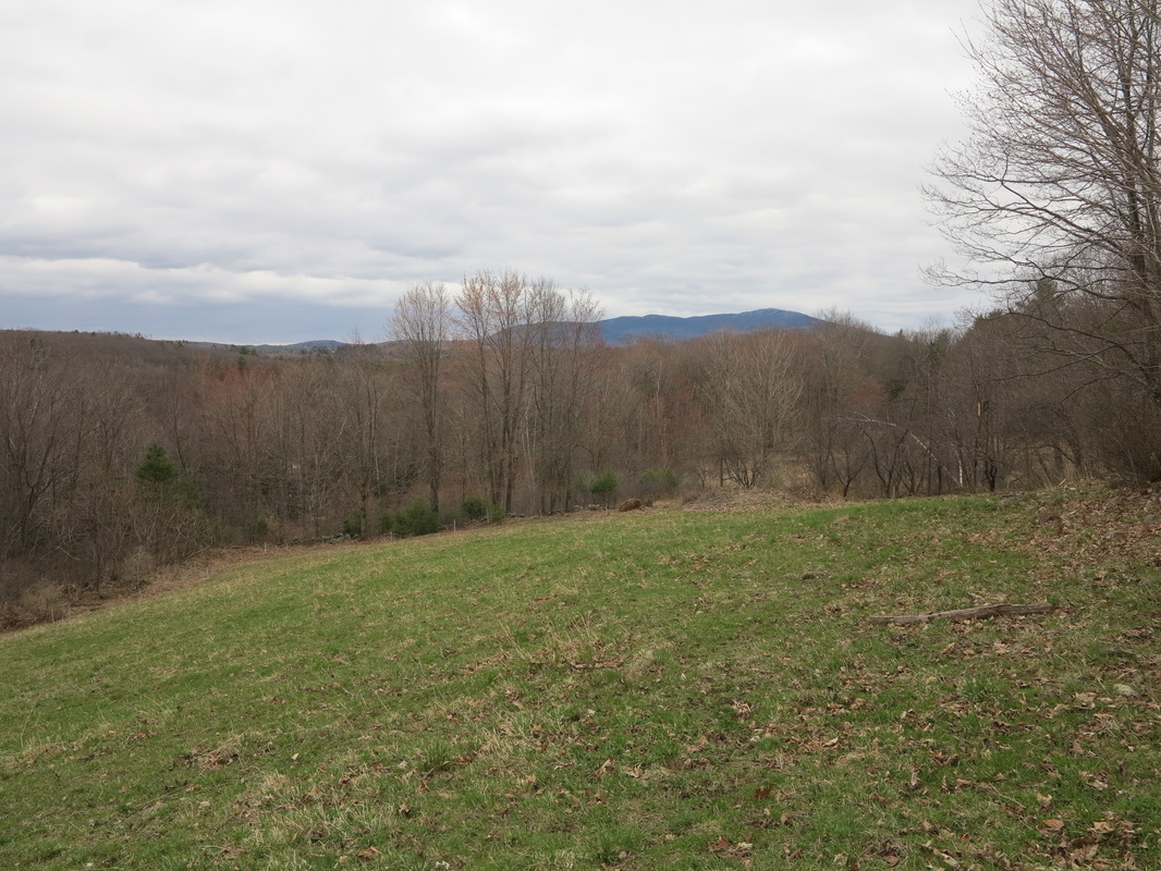
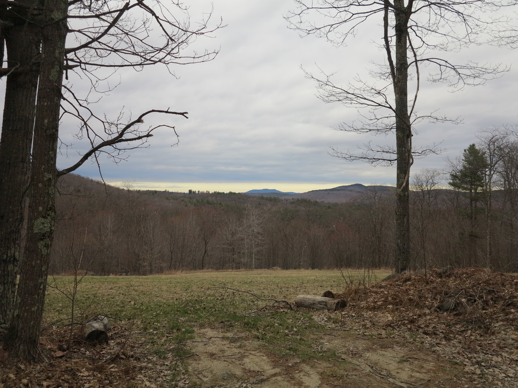
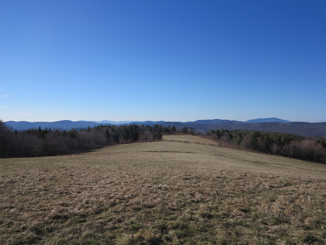
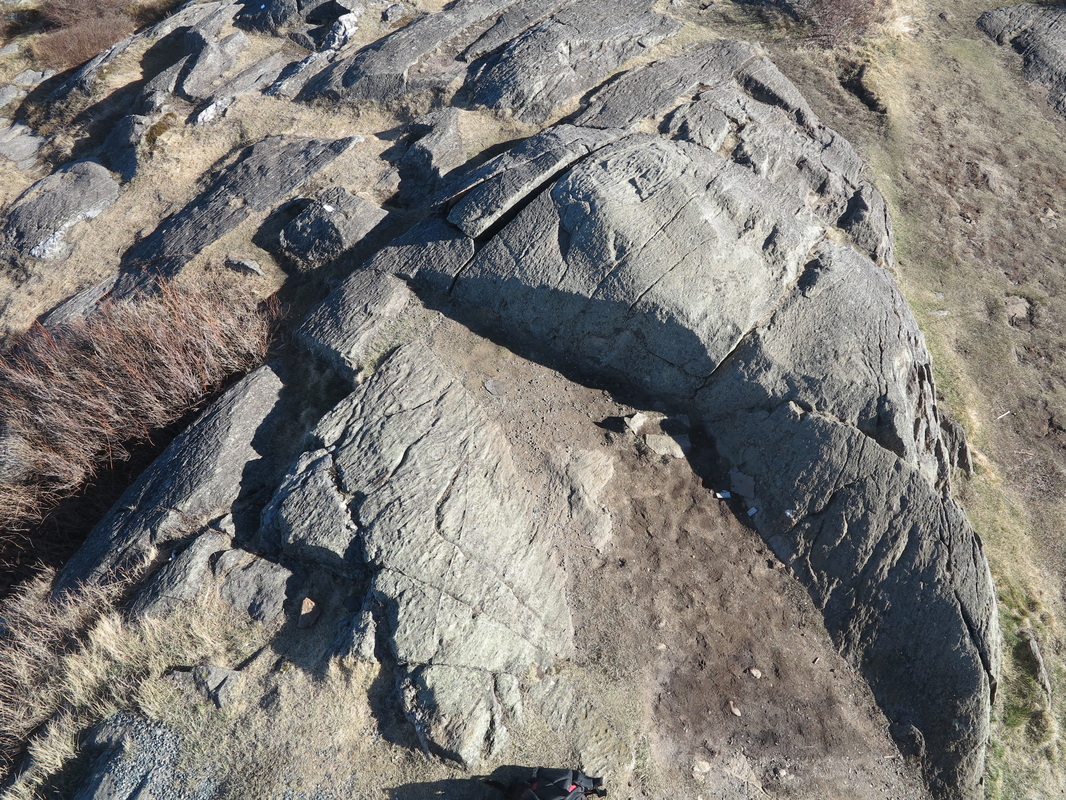
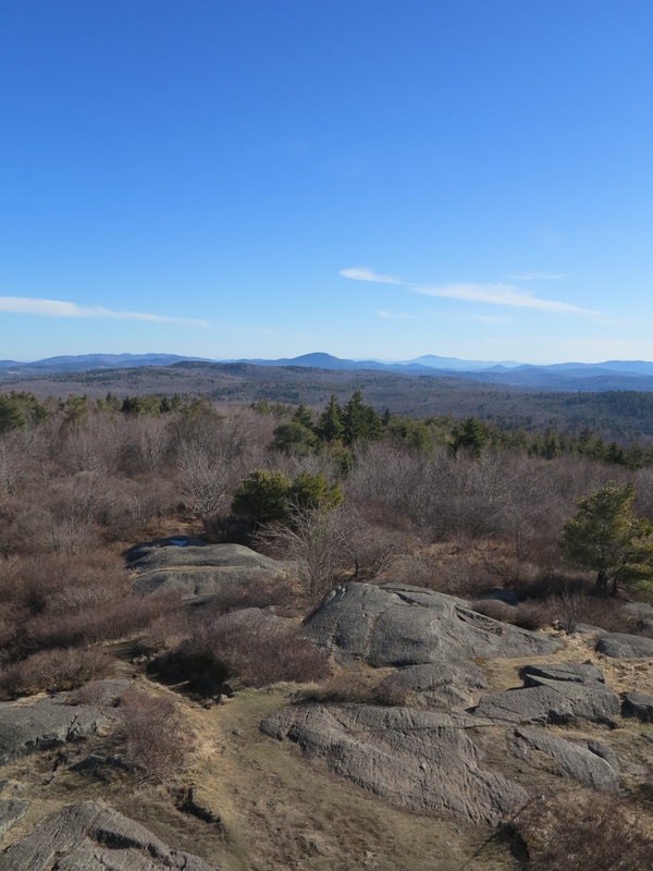
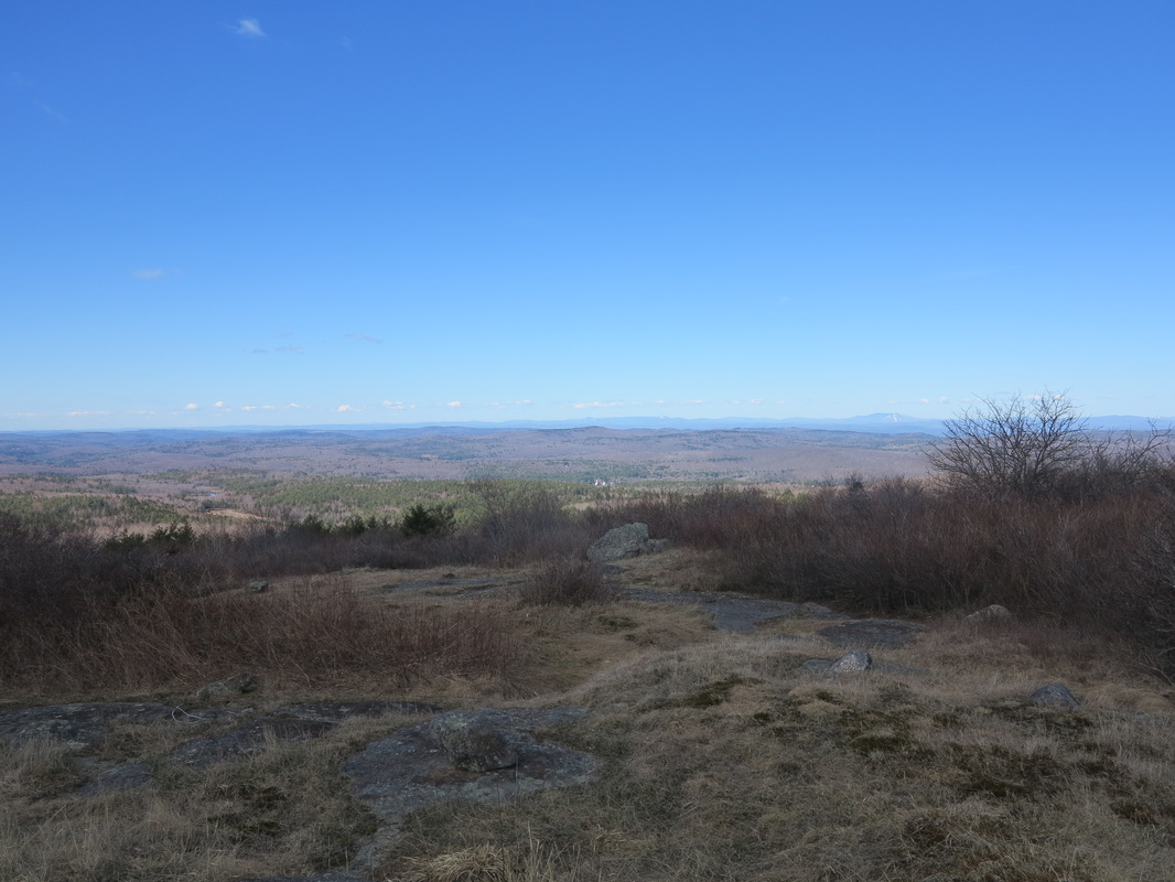
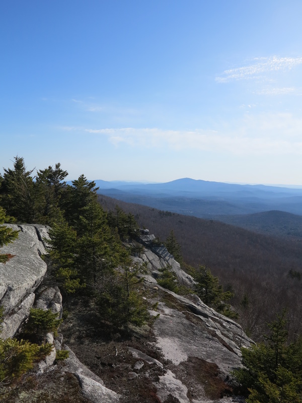
My route brought me first to some ledges on top of Prospect Hill, with stunning views to the east. This is a panorama you have to earn, as no man-made trail will take you here. I had only the soaring hawks as company, and could measure my northward progress against the horizon, as Cardigan had now come into view and Mount Kearsarge was fast slipping off to the south.
For a minute the going seemed hard until I recalled whole weeks—months!—of bushwhacking in the far denser boreal forest of northern British Columbia when I was surveying there, often in frosty rain and snow, making notes on my waterproof pad with frozen fingers. This was a breeze by comparison, and I was doing it purely out of love.
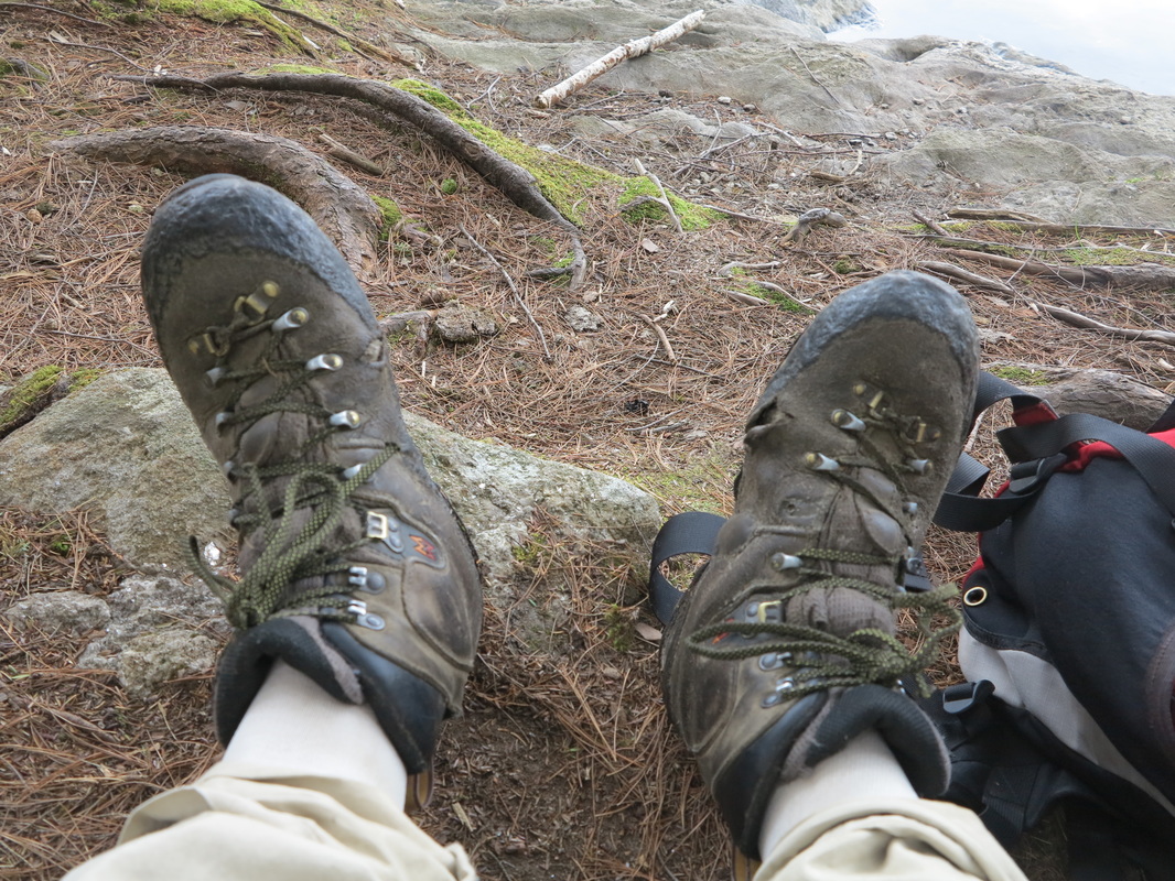
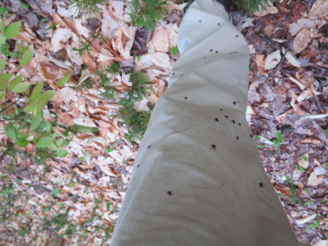
I passed a swampy corner of Halfmile Pond and then had to cross a swathe of marshy grass before the final stretch to Smith Pond. After making my way quickly over the easy, if damp, ground, I looked down at my trouser legs and realized with revulsion that I had been tick-bombed; scores of little black dots were racing up my legs, looking for the fastest way to a hiding place under my clothes. I jogged up out of the grass, tossed my pack down at some distance from myself, and began furiously but methodically sweeping and picking the little devils from my pants and shoes. When it looked like I had gotten them all, I shouldered my pack again and covered the short remaining distance to Smith Pond as quickly as I could. When I got there I tore off every last scrap of clothes I had on and beat them hard in the wind and then inspected them for stragglers. I ran into the water, submerged, and rubbed my hands briskly all over my body.
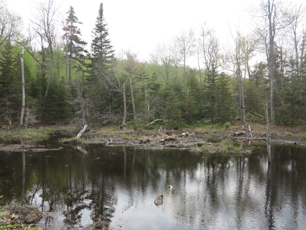
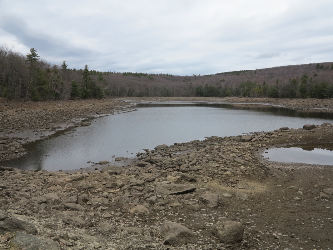
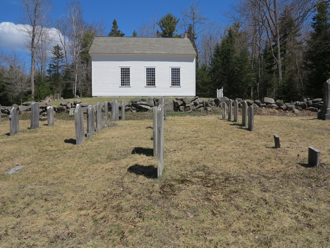
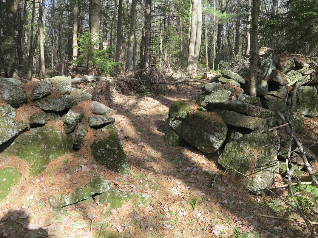
Smith Pond, way up on a hill top, was created in the 1830s by the Enfield community of Shakers, who had settled at the bottom of the hill, on the south side of Mascoma Lake. They dammed the brook and used the reservoir, which they called Lily Pond, to irrigate their tidy fields and power their small industries.
The shadows were lengthening by now, and I was still a long way from my hoped-for destination. I looked for a direct trail along the brook down to the site of the old Shaker village and followed what looked like the best bet. But the trail only took me to a gravel road that, out of laziness, I followed, only to feel myself being led farther and farther down the south side of the mountain, until eventually I was standing next to a familiar exit off I-89. Damn!
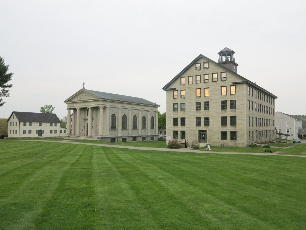
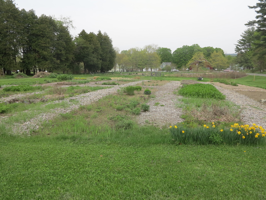
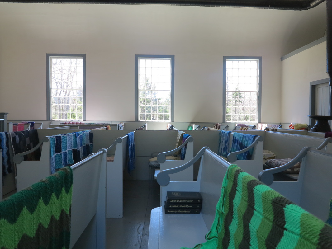
So I cut across a field and managed to locate a snowmobile trail that appeared to run due north. Sure enough, within a few minutes of getting on it, I had crossed the low ridge and was again moving downhill toward Mascoma Lake. After being raided by armies of ticks a few more times, I came to another field and then went through a breach in the woods to Route 4-A. I walked past the Enfield Shaker Village (where I had no time to stop, but I would return the following week for a visit to the museum) and on to the bridge that crosses the lake at a narrows to the modern village of Enfield. The bridge was built by the ingenious and industrious Shakers in 1849 and lasted in its original form until the Great New England Hurricane of 1938. Today’s bridge is in the same place and preserves the original’s basic design, but it is built with concrete and steel and engineered to contemporary standards.
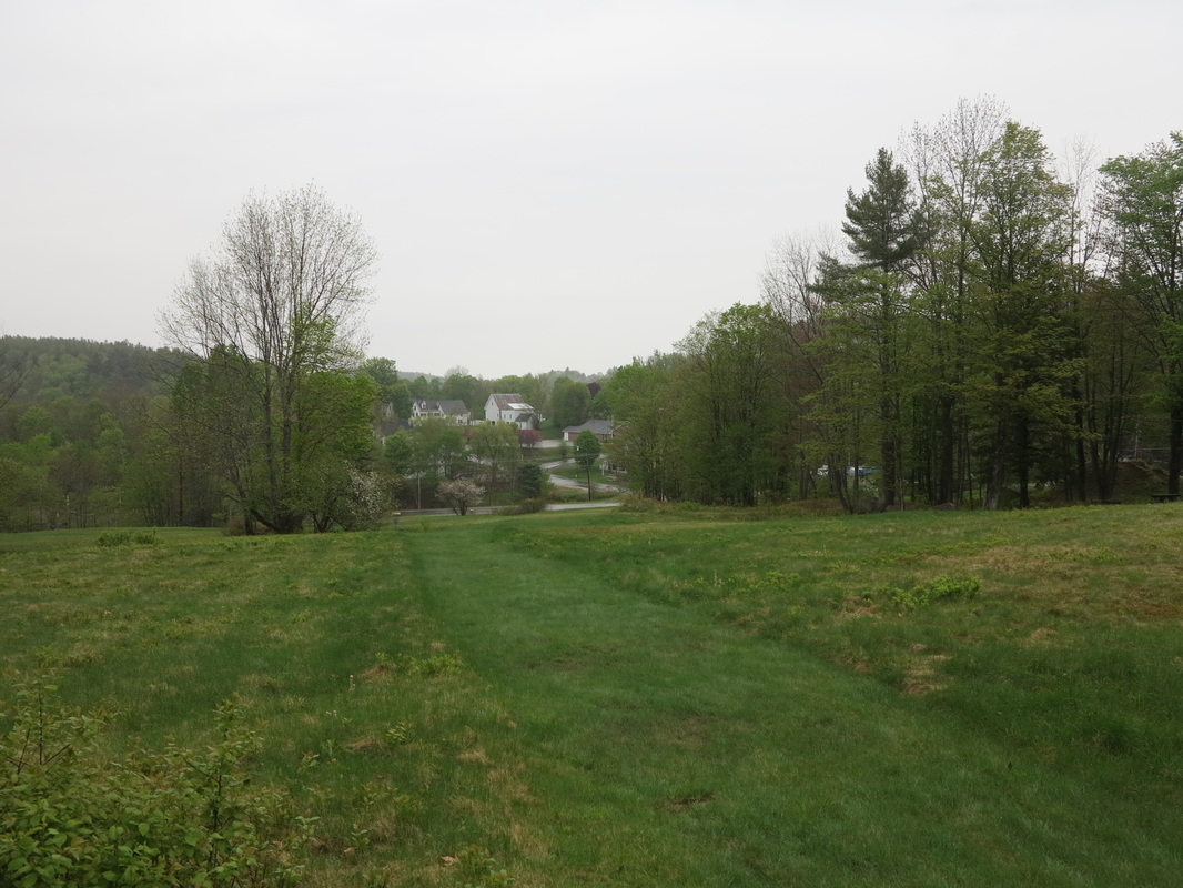
“My dogs is burned up,” I said aloud to myself, remembering Tom Joad, as I beat the state-highway pavement. My knees were stiff, and walking, rather suddenly, became distinctly unpleasant, almost painful. I had perhaps an hour or two of daylight left, including dusk, but there was no way I could cover the remaining distance in that time in the condition I was now in. The evening was pleasant though, and the proto-suburbanites of the quickly growing Upper Valley were out jogging and cruising on their fancy bicycles.
Meanwhile in my head, darkish thoughts were stirring. I needed a place to stop and sleep. I knew it would be cool once the sun set, especially down by the lake, and I had no sleeping bag and little in the way of warm clothes. Furtively I eyed what looked like an unoccupied house that had some construction materials out back and a silt fence strung out along the lake front. In a pile I saw a tarp. If only I could get across the lawn and grab the tarp without being seen, I could lie down and stretch out under it along back of the silt fence! That would be warm. I made a mental note and thought of returning after dark. In the meantime, I walked the remaining few hundred yards into town, keeping my eyes peeled for other sleeping options but seeing nothing promising.
I was beginning to feel like a transient—like all the “respectable” citizens out about town could see what I was thinking, and they were watching me, waiting until I made my move, and then they would call the police and have me arrested for vagrancy. I wondered if such a thing were possible in New Hampshire. I didn’t think so, but I was feeling very self-conscious.
But a part of me fell deftly into the role, as if I’d always known it. Although I had money in my pockets, I soon found myself reasoning as though I had little or none. It was as if I had forgotten it was there. The sight of an empty laundromat (thank god for those big windows!) brightened my mood; I could use the sink to fill my water bottles for free, and I could sit on the bench to eat dinner away from bugs that were starting to swarm.
Inside, I filled my water bottles as quickly as I could, keeping an eye on the street in case anyone approached. Then I sat down and pulled out some bread, salame, and carrots. While I munched away, I noticed a basket in the corner that said “Lost and Found.” Godsend! Maybe I would have a warm night after all. But as I finished up my dinner, a woman came in and began sweeping and tidying the place up. I was going to have to bluff and wait her out. So I pulled some clothes out of my backpack and shuffled them around, trying to make it look like I had just done some laundry. When she went into the bathroom I made my move, rifling through the lost-and-found pile until I found a pair of plaid flannel pyjama bottoms and a ratty black women’s cardigan. I shoved them into my backpack along with everything else I had and bolted out the door. When I saw a man sitting in the driver’s seat of the idling car that the caretaker had shown up in, looking me straight in the eyes, I almost jumped back, so startled was I. “Oh no! Is this my undoing?” I thought. He said nothing—although the lost-and-found basket had been in the huge window about ten feet from him, directly in his line of sight—and his facial expression did not betray his intentions. Not wanting to take chances, I scurried on to the trail that ran through the woods behind some houses and down by a marshy inlet of the lake. Kids were out fishing and groups of friends walked along the old railroad bed, where a milepost told me it was 11 miles to White River Junction, VT, and more than 150 miles to Boston. Feeling like a real outcast now, I did my best to keep my composure and look like I belonged.
A remark from Roger Deakin’s book Waterlog, in which the author sets out to travel around Britain by swimming, came to mind. I remembered being charmed by it but now realized I had never fully understood its meaning, despite having been in situations not unlike this one in my past: “…walking, cycling and swimming will always be subversive,” Deakin writes. “They allow us to regain a sense of what is old and wild…, by getting off the beaten track and breaking free of the official version of things.” I was starting to think this might be what he was talking about. Now, back in the comfort of my own home, I have opened Deakin’s book again and find a scene I had forgotten in which the author, in his fifties at the time of writing, floats in an uncertain state of legality down a river that runs through a nature reserve. It is so delightful, I have to share the passage in its entirety:
Just then, a group of birdwatchers appeared in the top of a wooden tower hide [camouflaged shelter for
observing wildlife] on the other bank and began scanning the fen with binoculars. Was this a search party?
The moment was suddenly reminiscent of a scene in Geoffrey Household’s Rogue Male, in which the
fugitive hero, half-dead from torture and in need of clothes, purloins the trousers of four bathers off a river
bank and hides from them in the water, then steals downstream with his soggy raft of breeches. A group
of us, sharing a Paddington flat in the sixties, used to know the book almost by heart and derived from it a
coded cult language. One of our inventions was the verb ‘to quive’, meaning to move by stealth, covertly,
as when stalking a wild animal, or up to no good. It derives from the name of the anonymous hero’s ruthless
and relentless pursuer, Major Quive-Smith, a master of tactics and field-craft who runs our man to ground
in a hidden Dorset lane, like a wild animal.
I quived silently into the reeds and floated there up to my nose like a crocodile until they had gone, taking
a good deal of boyish pleasure from their failure to notice me. The moment it becomes a subversive
activity, swimming is that much more interesting.” (Roger Deakin, Waterlog, London, 1999).
And so with walking! The “downward” spiral continued, but by now, although a part of me hated it because I knew the night would in all likelihood be one of discomfort, most of me had begun to relish the preposterous turn things were taking. The road to the house whose yard I had considered sleeping in was still quite busy, and it was still too light for me to quive across it. So I continued along the railbed trail, which hugged the lake and stayed low to the water while the road rose up the hillside a quarter mile above. After passing through a blasted granite corridor, I came to a secluded spot where there was a bench overlooking the lake. It was all but dark now, and I knew this was the most sensible place to rest. Already it was cooling off, so I hastily put on all the clothes I had in order to preserve what body heat I had earned by walking. Then I sat down to have a little more dinner, brushed my teeth and watched the lake, and finally stretched out on the bench beneath the emerging stars with my boots under my head as an ersatz pillow.
Sleep did not come quickly; no matter how much clothing you have on, there is something psychologically reassuring about having an actual cover over your body when you sleep after sunset, even if it’s just a thin sheet. But the happy, unintelligible sounds of people talking, as they came across the water, and then the ever-soothing laughter of loons, soon lulled me off. Not for long, though. It can’t have been more than an hour or two before I awoke shivering. I managed to get back to sleep a few times, but eventually I became too cold for even short bursts of sleep. I knew I had to move.
So I got up, put my boots and pack on, and started shuffling west along the rail trail in the now silent darkness. I left the lake after about a mile and turned north up the road that leads from Enfield to Etna. Another mile or so up this road and my legs were spent, but I had warmed myself up some and felt sure I could fall asleep now. So I crawled up an embankment and into the woods on all fours until I was just out of sight of the road (not that there was any traffic) and zonked out where I lay.
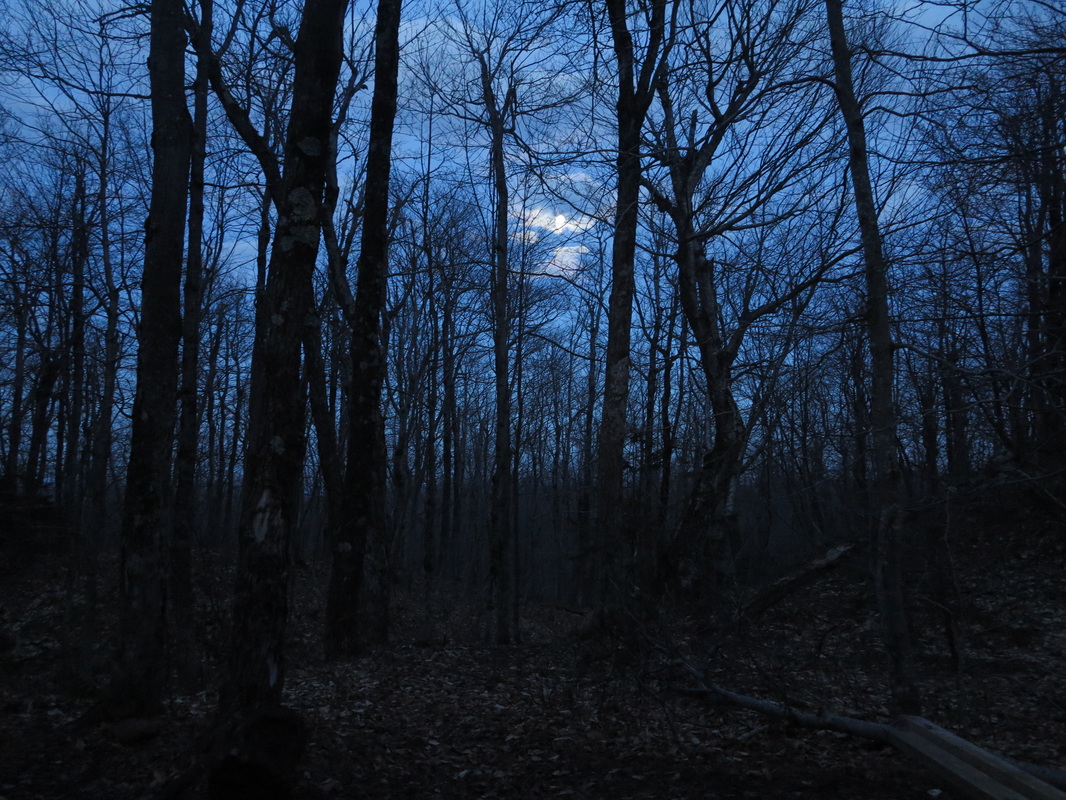
A shiver through my bones woke me as dawn was just beginning to break, very early in New Hampshire, which is in the eastern part of its time zone. I had a quick snack for energy and resumed my walk north. In another mile or two the need to sleep took hold of me rather abruptly again, and again I wandered off into the roadside woods for a nap. This time I managed to sleep uninterruptedly for what must have been a couple of hours, and when I woke up I was actually sweating. But I felt like a million bucks! My legs, having finally got the rest they needed, agreed to function properly.
“My dogs is burned up,” I said aloud to myself, remembering Tom Joad, as I beat the state-highway pavement. My knees were stiff, and walking, rather suddenly, became distinctly unpleasant, almost painful. I had perhaps an hour or two of daylight left, including dusk, but there was no way I could cover the remaining distance in that time in the condition I was now in. The evening was pleasant though, and the proto-suburbanites of the quickly growing Upper Valley were out jogging and cruising on their fancy bicycles.
Meanwhile in my head, darkish thoughts were stirring. I needed a place to stop and sleep. I knew it would be cool once the sun set, especially down by the lake, and I had no sleeping bag and little in the way of warm clothes. Furtively I eyed what looked like an unoccupied house that had some construction materials out back and a silt fence strung out along the lake front. In a pile I saw a tarp. If only I could get across the lawn and grab the tarp without being seen, I could lie down and stretch out under it along back of the silt fence! That would be warm. I made a mental note and thought of returning after dark. In the meantime, I walked the remaining few hundred yards into town, keeping my eyes peeled for other sleeping options but seeing nothing promising.
I was beginning to feel like a transient—like all the “respectable” citizens out about town could see what I was thinking, and they were watching me, waiting until I made my move, and then they would call the police and have me arrested for vagrancy. I wondered if such a thing were possible in New Hampshire. I didn’t think so, but I was feeling very self-conscious.
But a part of me fell deftly into the role, as if I’d always known it. Although I had money in my pockets, I soon found myself reasoning as though I had little or none. It was as if I had forgotten it was there. The sight of an empty laundromat (thank god for those big windows!) brightened my mood; I could use the sink to fill my water bottles for free, and I could sit on the bench to eat dinner away from bugs that were starting to swarm.
Inside, I filled my water bottles as quickly as I could, keeping an eye on the street in case anyone approached. Then I sat down and pulled out some bread, salame, and carrots. While I munched away, I noticed a basket in the corner that said “Lost and Found.” Godsend! Maybe I would have a warm night after all. But as I finished up my dinner, a woman came in and began sweeping and tidying the place up. I was going to have to bluff and wait her out. So I pulled some clothes out of my backpack and shuffled them around, trying to make it look like I had just done some laundry. When she went into the bathroom I made my move, rifling through the lost-and-found pile until I found a pair of plaid flannel pyjama bottoms and a ratty black women’s cardigan. I shoved them into my backpack along with everything else I had and bolted out the door. When I saw a man sitting in the driver’s seat of the idling car that the caretaker had shown up in, looking me straight in the eyes, I almost jumped back, so startled was I. “Oh no! Is this my undoing?” I thought. He said nothing—although the lost-and-found basket had been in the huge window about ten feet from him, directly in his line of sight—and his facial expression did not betray his intentions. Not wanting to take chances, I scurried on to the trail that ran through the woods behind some houses and down by a marshy inlet of the lake. Kids were out fishing and groups of friends walked along the old railroad bed, where a milepost told me it was 11 miles to White River Junction, VT, and more than 150 miles to Boston. Feeling like a real outcast now, I did my best to keep my composure and look like I belonged.
A remark from Roger Deakin’s book Waterlog, in which the author sets out to travel around Britain by swimming, came to mind. I remembered being charmed by it but now realized I had never fully understood its meaning, despite having been in situations not unlike this one in my past: “…walking, cycling and swimming will always be subversive,” Deakin writes. “They allow us to regain a sense of what is old and wild…, by getting off the beaten track and breaking free of the official version of things.” I was starting to think this might be what he was talking about. Now, back in the comfort of my own home, I have opened Deakin’s book again and find a scene I had forgotten in which the author, in his fifties at the time of writing, floats in an uncertain state of legality down a river that runs through a nature reserve. It is so delightful, I have to share the passage in its entirety:
Just then, a group of birdwatchers appeared in the top of a wooden tower hide [camouflaged shelter for
observing wildlife] on the other bank and began scanning the fen with binoculars. Was this a search party?
The moment was suddenly reminiscent of a scene in Geoffrey Household’s Rogue Male, in which the
fugitive hero, half-dead from torture and in need of clothes, purloins the trousers of four bathers off a river
bank and hides from them in the water, then steals downstream with his soggy raft of breeches. A group
of us, sharing a Paddington flat in the sixties, used to know the book almost by heart and derived from it a
coded cult language. One of our inventions was the verb ‘to quive’, meaning to move by stealth, covertly,
as when stalking a wild animal, or up to no good. It derives from the name of the anonymous hero’s ruthless
and relentless pursuer, Major Quive-Smith, a master of tactics and field-craft who runs our man to ground
in a hidden Dorset lane, like a wild animal.
I quived silently into the reeds and floated there up to my nose like a crocodile until they had gone, taking
a good deal of boyish pleasure from their failure to notice me. The moment it becomes a subversive
activity, swimming is that much more interesting.” (Roger Deakin, Waterlog, London, 1999).
And so with walking! The “downward” spiral continued, but by now, although a part of me hated it because I knew the night would in all likelihood be one of discomfort, most of me had begun to relish the preposterous turn things were taking. The road to the house whose yard I had considered sleeping in was still quite busy, and it was still too light for me to quive across it. So I continued along the railbed trail, which hugged the lake and stayed low to the water while the road rose up the hillside a quarter mile above. After passing through a blasted granite corridor, I came to a secluded spot where there was a bench overlooking the lake. It was all but dark now, and I knew this was the most sensible place to rest. Already it was cooling off, so I hastily put on all the clothes I had in order to preserve what body heat I had earned by walking. Then I sat down to have a little more dinner, brushed my teeth and watched the lake, and finally stretched out on the bench beneath the emerging stars with my boots under my head as an ersatz pillow.
Sleep did not come quickly; no matter how much clothing you have on, there is something psychologically reassuring about having an actual cover over your body when you sleep after sunset, even if it’s just a thin sheet. But the happy, unintelligible sounds of people talking, as they came across the water, and then the ever-soothing laughter of loons, soon lulled me off. Not for long, though. It can’t have been more than an hour or two before I awoke shivering. I managed to get back to sleep a few times, but eventually I became too cold for even short bursts of sleep. I knew I had to move.
So I got up, put my boots and pack on, and started shuffling west along the rail trail in the now silent darkness. I left the lake after about a mile and turned north up the road that leads from Enfield to Etna. Another mile or so up this road and my legs were spent, but I had warmed myself up some and felt sure I could fall asleep now. So I crawled up an embankment and into the woods on all fours until I was just out of sight of the road (not that there was any traffic) and zonked out where I lay.
A shiver through my bones woke me as dawn was just beginning to break, very early in New Hampshire, which is in the eastern part of its time zone. I had a quick snack for energy and resumed my walk north. In another mile or two the need to sleep took hold of me rather abruptly again, and again I wandered off into the roadside woods for a nap. This time I managed to sleep uninterruptedly for what must have been a couple of hours, and when I woke up I was actually sweating. But I felt like a million bucks! My legs, having finally got the rest they needed, agreed to function properly.
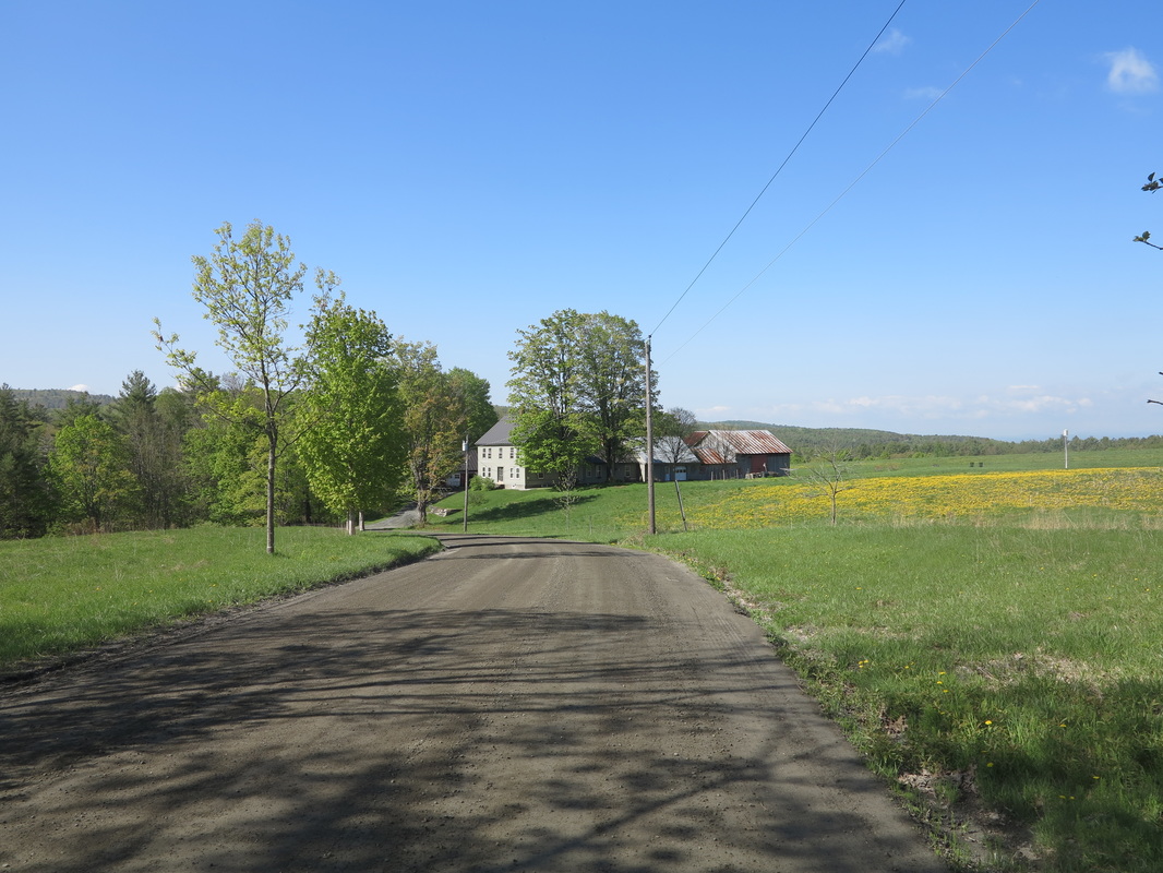
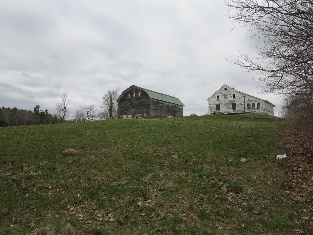
I brushed a few ticks off me, took off most of my accumulated layers, and looked both ways before skipping down on to the road. For most of the remaining miles I took a detour on a gravel road that was quieter than the paved one. It took me past well-maintained hill farms with splendid views—the kind that make you think, “If I have ever had enough money, I’d love to live in a place like that,” until you think about what must go into keeping such places up. But I’m glad that someone has the energy and wherewithal to do it.
The sun rose higher in its arc and soon had me sweating and feeling alive again. The road passed from fields to woods, and by about nine o’clock I had reached the spot where the Appalachian Trail crosses Three Mile Road, about nine miles east of the Connecticut River and downtown Hanover. Sure, I hadn’t made it as quickly as I had hoped, and the night had been a pretty miserable one—but that was all behind me now, just a story to tell to friends and remember occasionally with a laugh. The new day was so splendid I was glad things had gone the way they did, nor did I even mind the prospect of long bike ride through the hills.
The sun rose higher in its arc and soon had me sweating and feeling alive again. The road passed from fields to woods, and by about nine o’clock I had reached the spot where the Appalachian Trail crosses Three Mile Road, about nine miles east of the Connecticut River and downtown Hanover. Sure, I hadn’t made it as quickly as I had hoped, and the night had been a pretty miserable one—but that was all behind me now, just a story to tell to friends and remember occasionally with a laugh. The new day was so splendid I was glad things had gone the way they did, nor did I even mind the prospect of long bike ride through the hills.
 RSS Feed
